Silvermine Dam
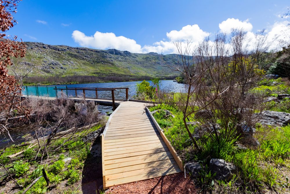
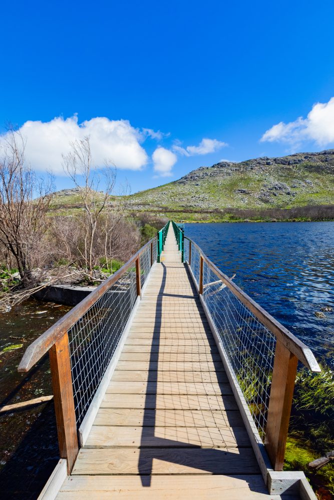

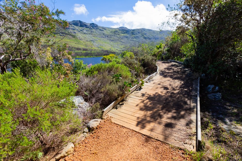
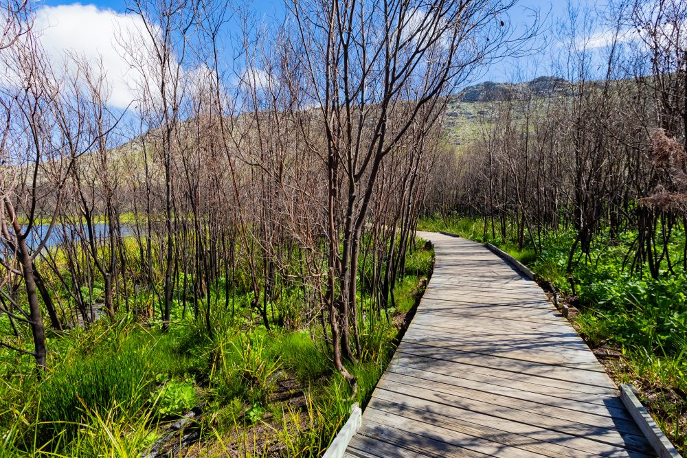
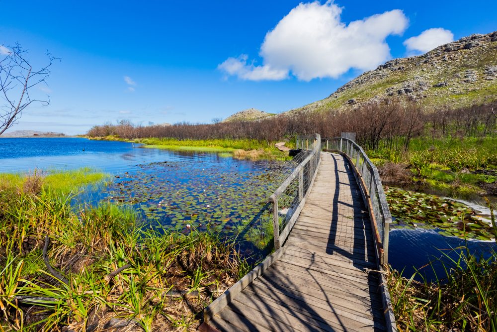
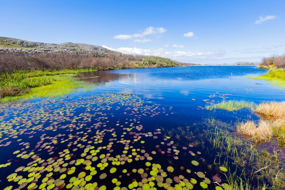
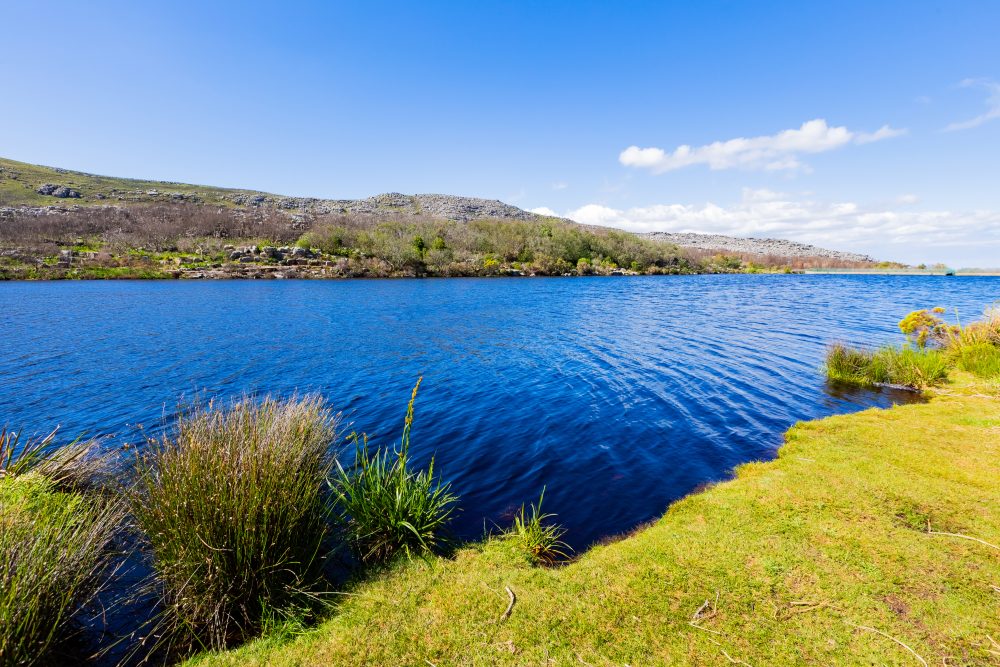
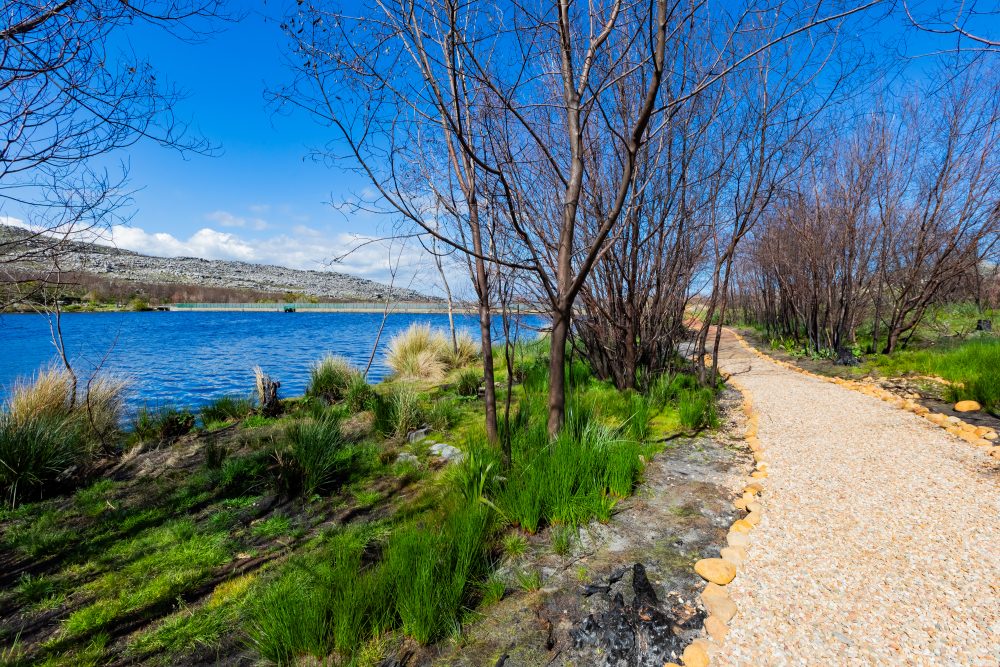
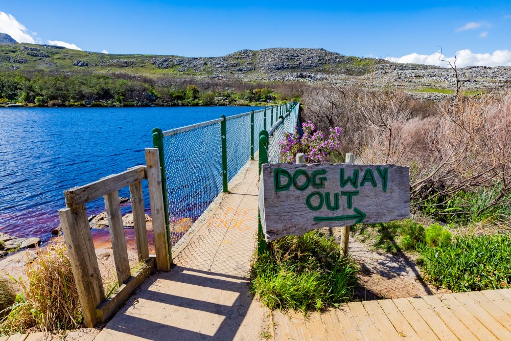

The dam is nestled in a fynbos dominated landscape, with rolling hills and steep slopes surrounding the reservoir. Its scenic location, combined with clear waters and indigenous vegetation, makes it a popular spot for tourism, picnicking, and fishing. The site is integrated into a broader conservation area that preserves both natural and recreational values, reflecting the harmonious balance between utility and the Cape Peninsula’s unique environment.
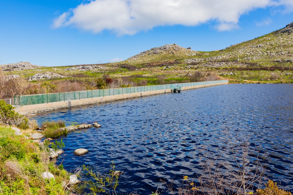
The Silvermine Dam is constructed within a Table Mountain Sandstone landscape, with rugged slopes and resistant bedrock providing a stable foundation for the dam wall. The 8.5-meter-high dam retains water from the Silvermine River, forming a reservoir with a capacity of 82 megalitres, and the surrounding geology contributes to the natural drainage patterns that feed the dam.
The dam is located within the former Silvermine Nature Reserve that had been established in 1898, a portion of land that has since been incorporated into Table Mountain National Park. The name silvermine originated from the misplaced belief that there were silver mines in the area. The area lies along the Silvermine river, which flows from the surrounding mountains toward the coast, and the dam sits prominently in a valley, forming a key water catchment in the region. The Silvermine Nature Reserve was meant to serve as a water catchment area to secure water for the City of Cape Town, thus the need for the dam. The Silvermine Dam, which holds historical significance as part of Cape Town’s early water supply infrastructure, was constructed between 1896 and 1899 to harness water from the Silvermine River which flows through the area. It is a popular tourist destination, especially those who are keen on fishing. The dam is characterised by an 8.5m high wall that can hold back 82 megalitres of water against the backdrop of the Cape vegetation. The water stored in the reservoir was used for domestic purposes in a period of about two decades, until a decision was taken to decommission it in 1920. This was when the coastal areas were connected to a more reliable water supply from the Steenbras Dam. Today, it stands as a heritage landmark reflecting early engineering efforts in water resource management, and it remains a key feature within the former Silvermine Nature Reserve, valued for both its historical role and its scenic and recreational appeal.
GPS Waypoints: 34°4'29.35"S 18°23'53.17"E