Oudekraal Beach
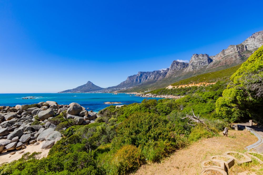
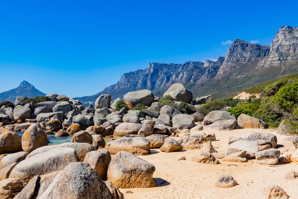
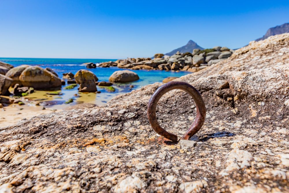
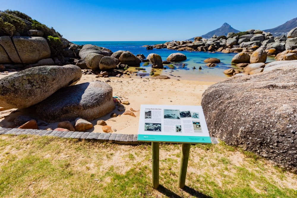
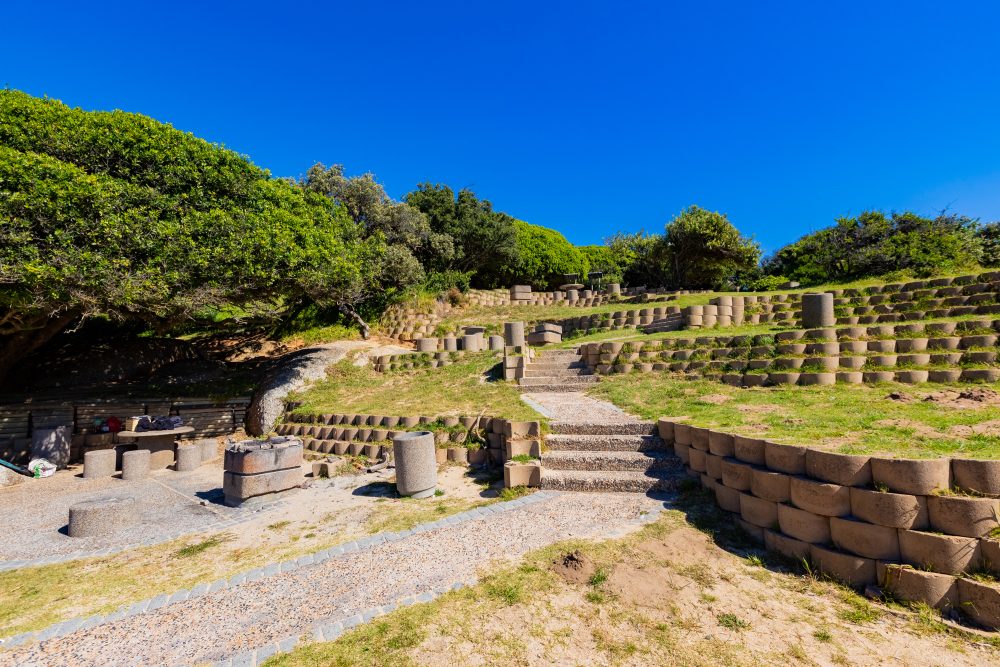
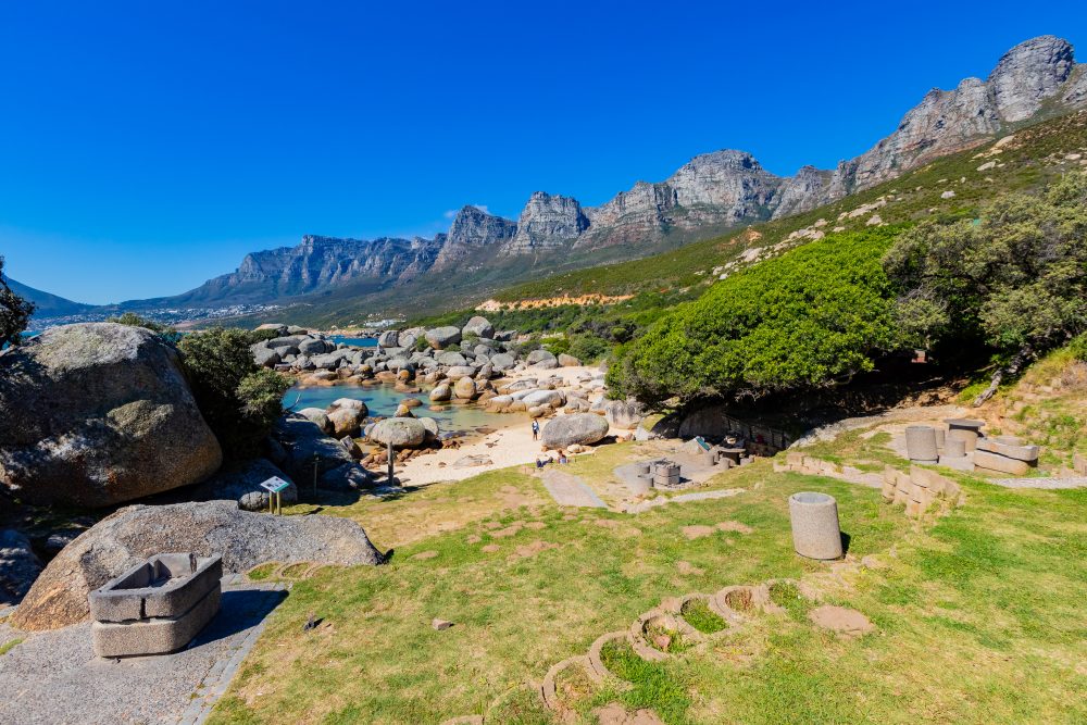
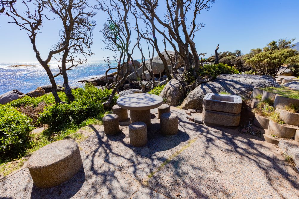
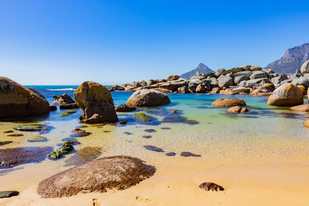
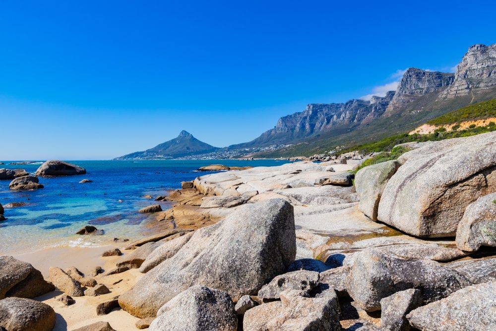
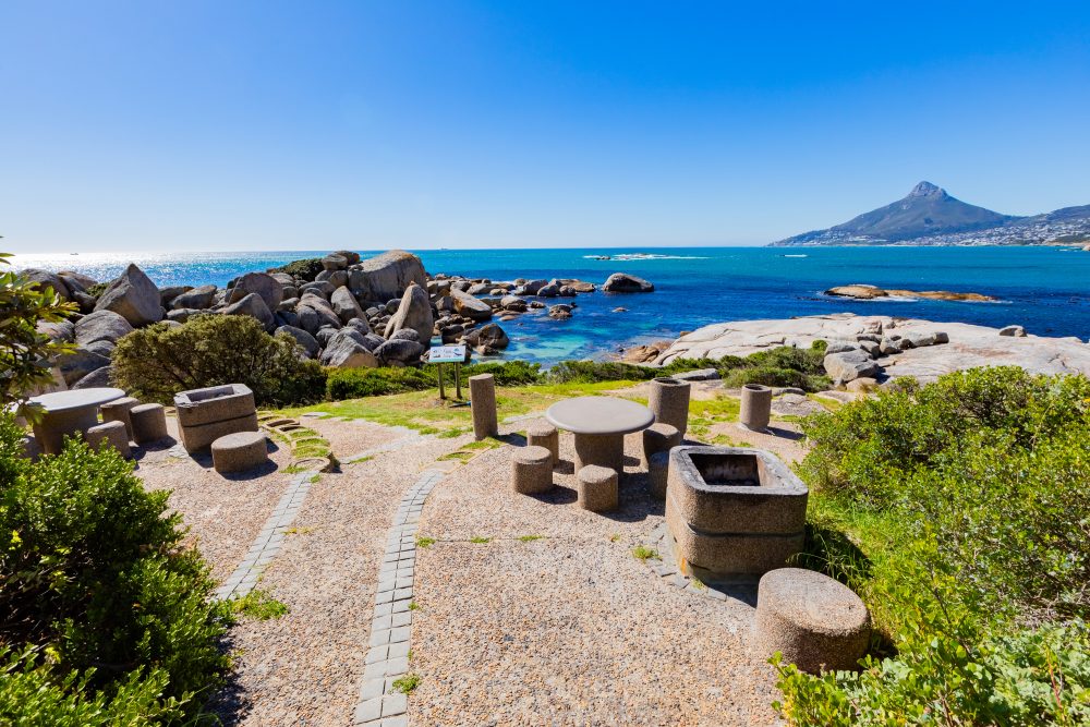
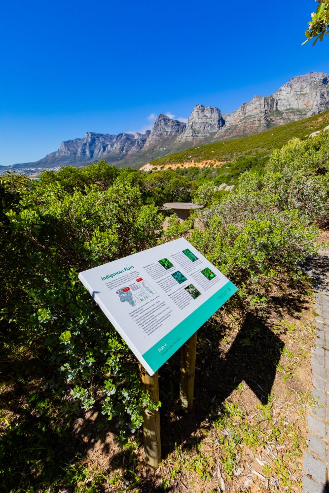
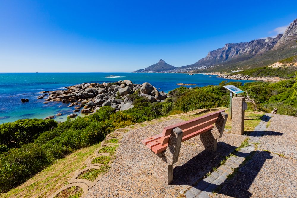
The Oudekraal area lies on the Western Coast of the Cape Peninsula. The indigenous fauna, flora, marine life, and landscape of Oudekraal is now protected as part of the Table Mountain National Park. The area is characterised by sandy beaches tucked between smooth granite boulders and surrounded by coastal fynbos vegetation, including Ericas, Restios, and other hardy shrubs adapted to the maritime climate. Offshore, dense kelp forests support diverse marine life such as abalone, sea urchins, and schools of fish, while seabirds, seals, and occasional dolphins frequent the coast. The combination of natural beauty, sheltered swimming areas, and rich biodiversity makes Oudekraal a popular recreational and conservation site. Besides the biological value, Oudekraal is also defined by rich cultural heritage. Geographically isolated by the impressive mountain peaks of the Twelve Apostles and the Atlantic Ocean, the Oudekraal area has provided a haven for the people of the Cape, from the time of early hunter-gatherers to the present. Archaeological evidence such as shell middens and stone tools attests to its use by early inhabitants as a coastal resource site. Originally known as Hottentots Huisie, the area was declared a public fishery in 1806 and was mainly used for this reason by the local fishermen who lived and worked along this stretch of coast.
Increasing racial segregation of public spaces in the early 20th century forced Africans to use places further away from the beach for recreation and enjoyment. Oudekraal became one of those localities. They would travel to Oudekraal to camp with their families. This situation remained unchanged until the area was declared to be only for the white people in 1965, reflecting the apartheid era segregation laws of the time. Despite this painful history, Oudekraal today stands as a place of healing and remembrance, open to all and cherished for its natural beauty, cultural resilience, and spiritual significance especially among Cape Muslim communities who continue to hold gatherings and religious ceremonies there.
GPS Waypoints: 33°59'15.4"S 18°20'58.27"E