East Fort
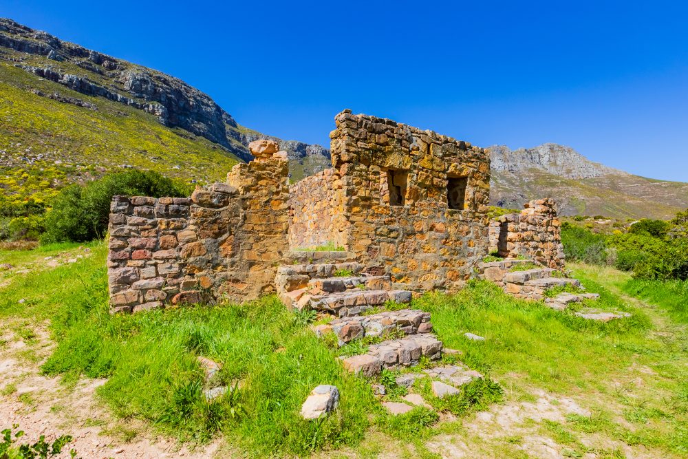
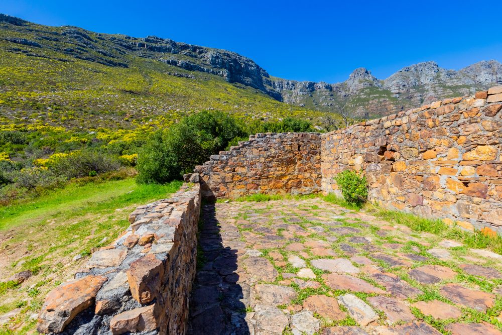
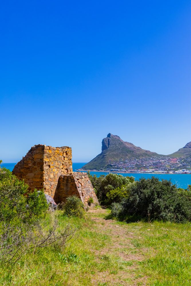
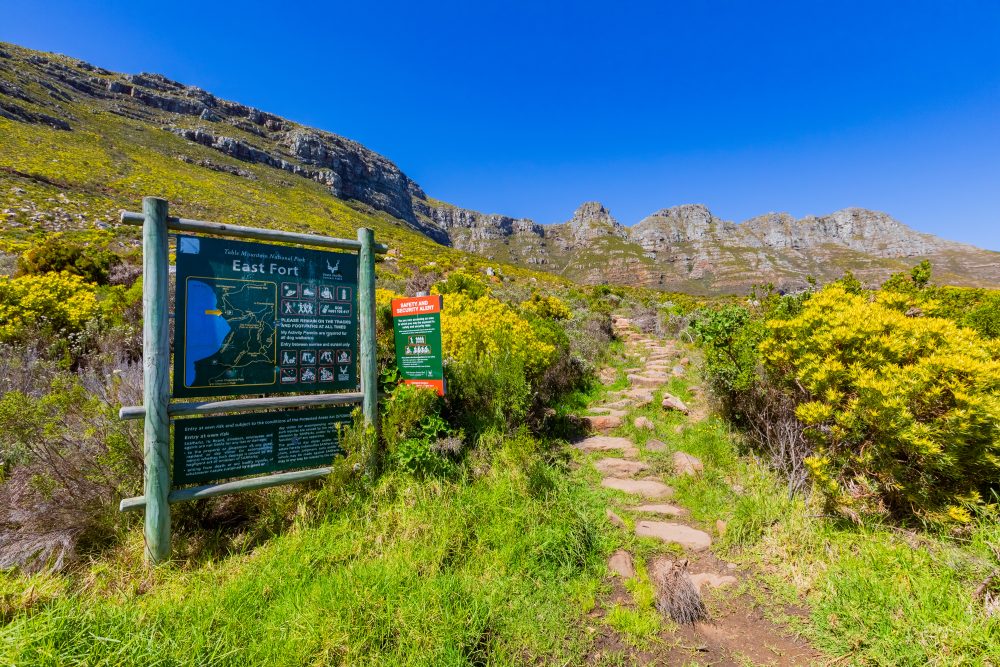
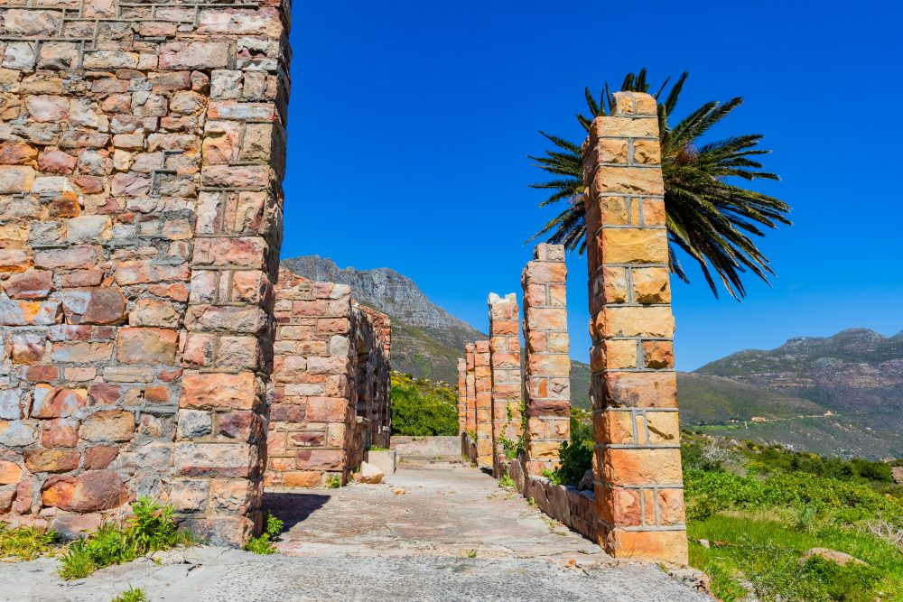
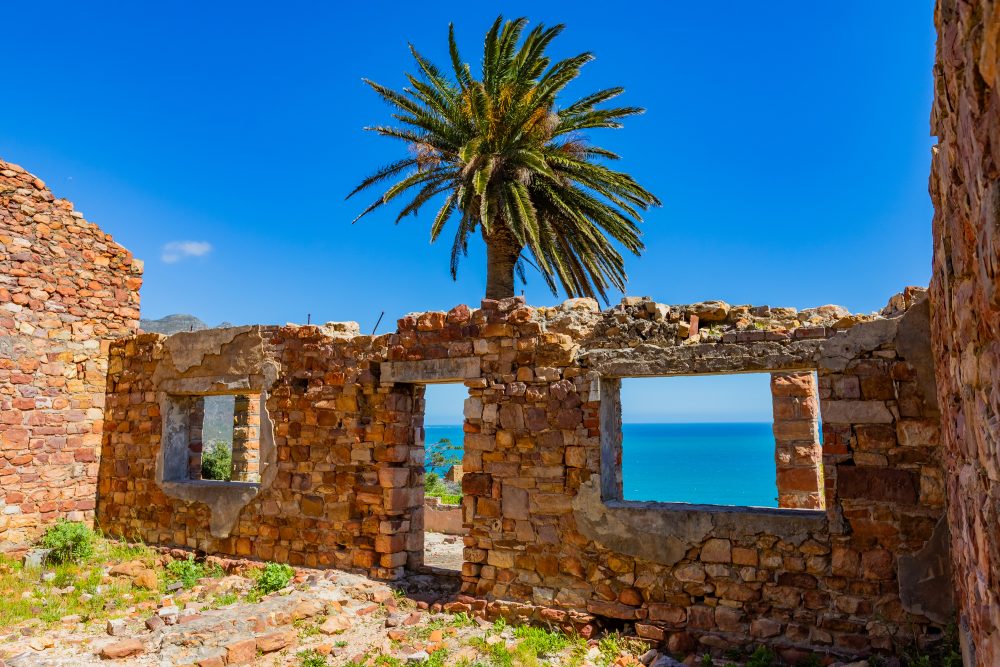
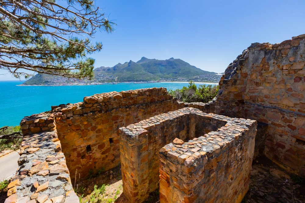
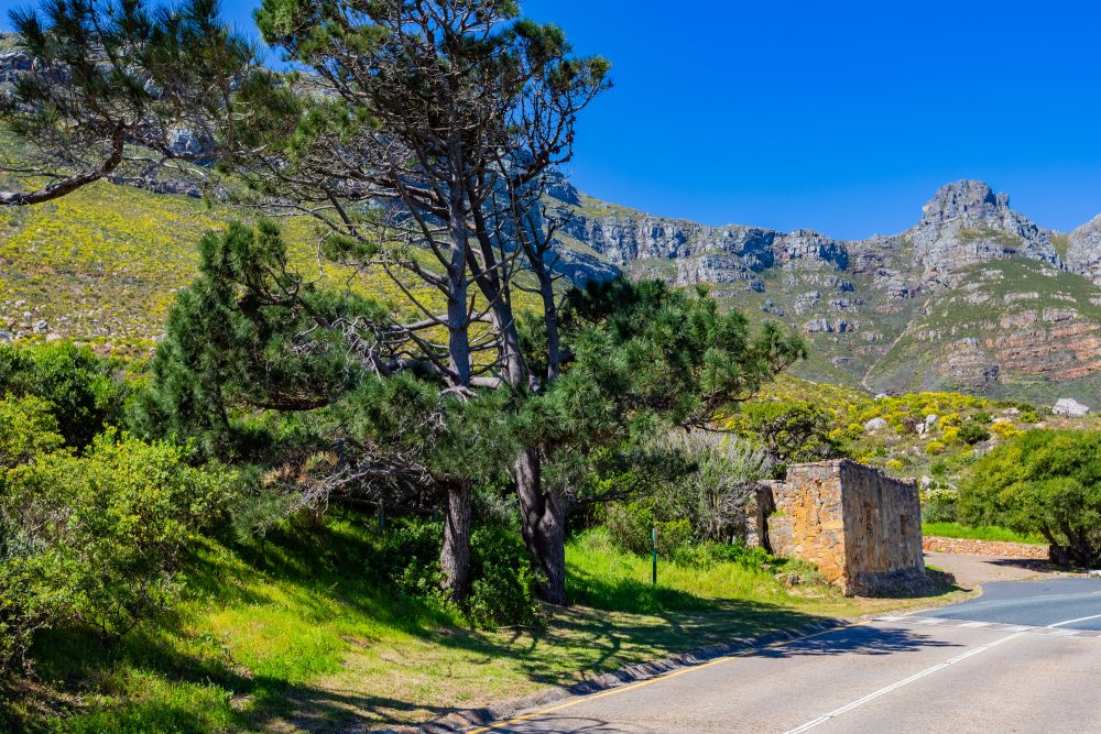
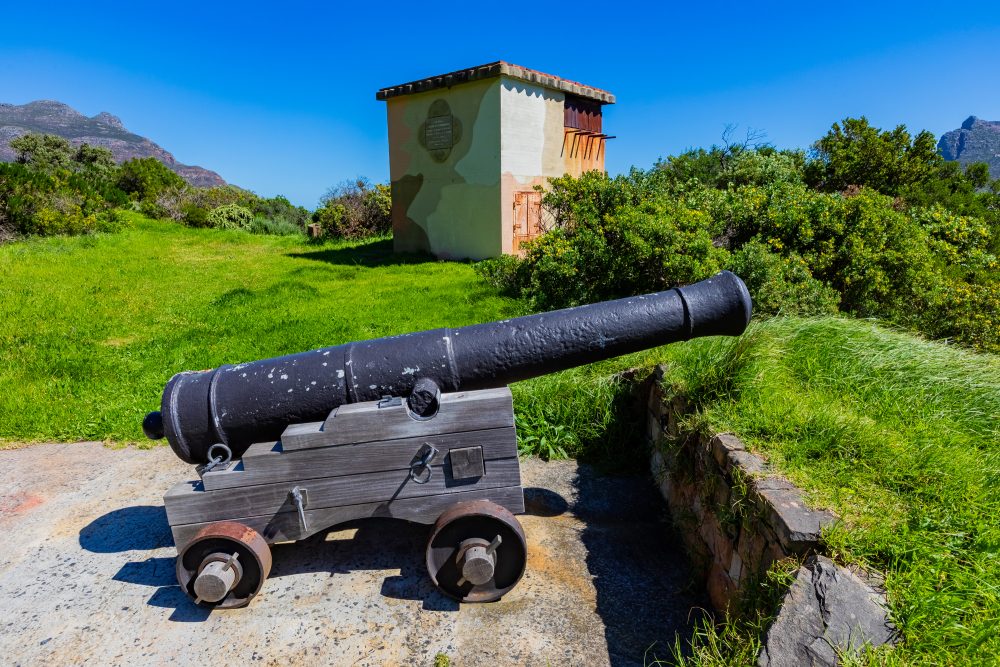
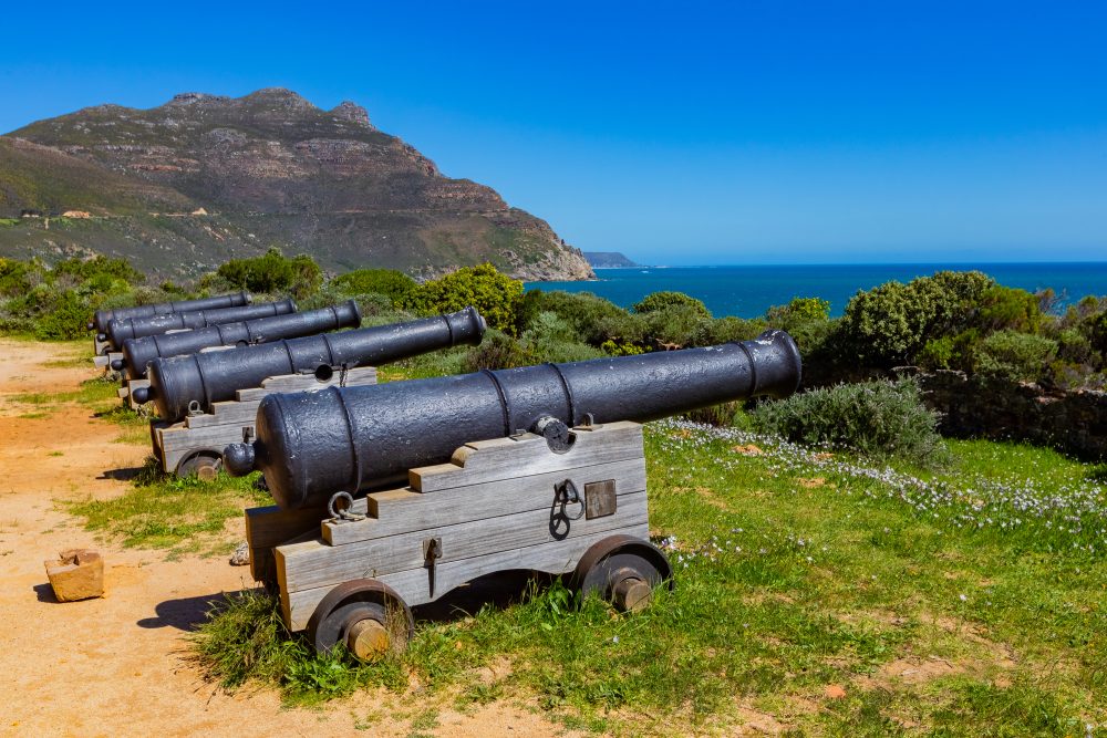
East Fort, or Sluysken as the Dutch named it in 1793, was one of the four forts built in Hout Bay during the latter part of the 18th century. Its elevated location offered strategic advantage for surveillance and defence. The other three forts were West Fort (1781), Conway Redoubt, and Klein Gibraltar. These forts were built to safeguard Cape Town from potential marine invasion. East Fort was originally constructed by the French Pondicherry Regiment between 1782 and 1783, after they had taken control of the Cape in 1781 following the fourth Anglo-French war. It’s significant in terms of the system of coastal fortifications during the latter half of the 18th century and the extent to which this reflected the strategic role of the Cape in terms of English, Dutch, and French conflicts in Europe at the time. Historically Important for protection of Hout Bay, original guns have been preserved and the battery partially restored.
The geology of East Fort is characterised by the Cape Peninsula sandstone, part of the Table Mountain Sandstone Formation. This geological formation provided a solid, durable foundation for the fortification. The rocky outcrops and natural escarpments contributed to the fort’s defensive positioning, enabling the installation of artillery with a clear line of sight over the bay and surrounding approaches. The area is also characterised by fynbos vegetation and rugged sandstone cliffs, reflecting the Cape Peninsula’s distinctive natural environment. The East Fort, which serves as a testament to early military architecture and colonial history, providing insight into the region’s defence strategies, could potentially hold tourism significance, allowing visitors to engage with the historical, military, and strategic significance of the Cape Peninsula during a formative period in its colonial history.
GPS Waypoints: 34°03'20.1"S 18°21'54.5"E