Chapman’s Peak
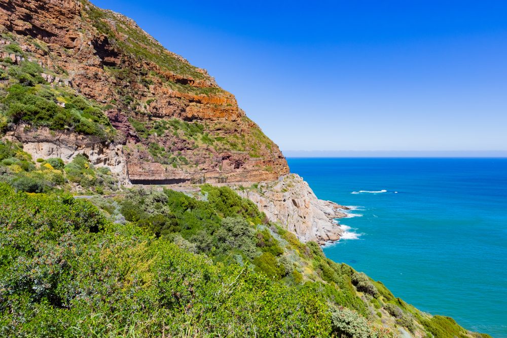
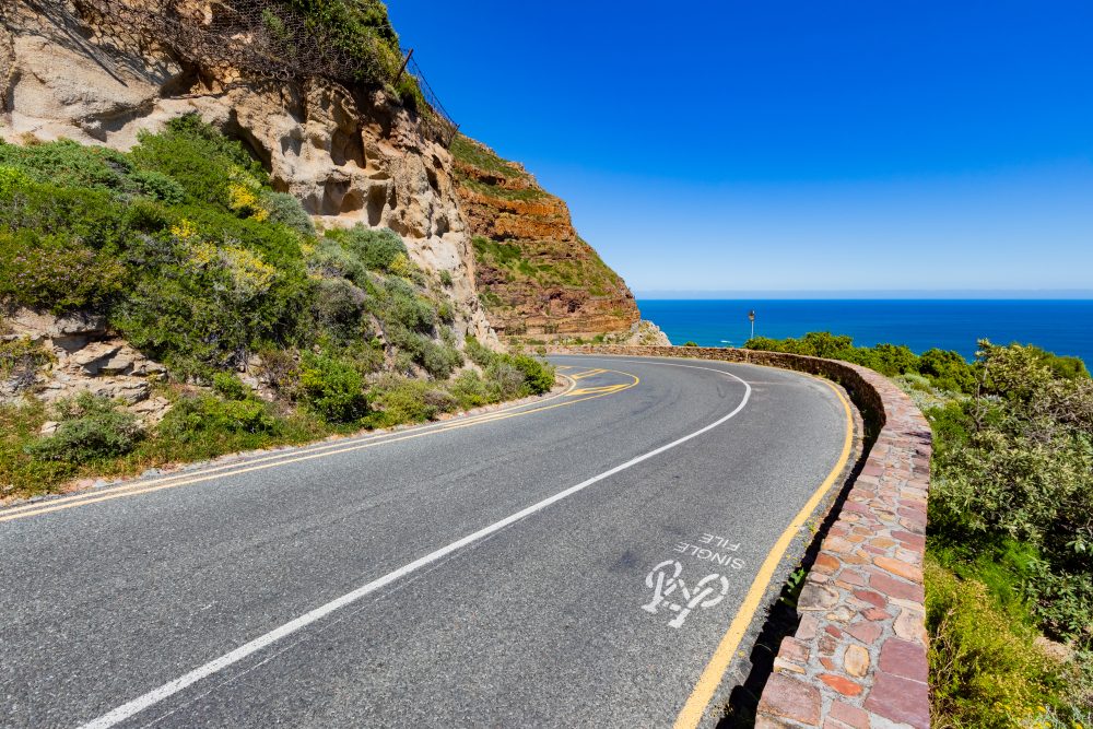
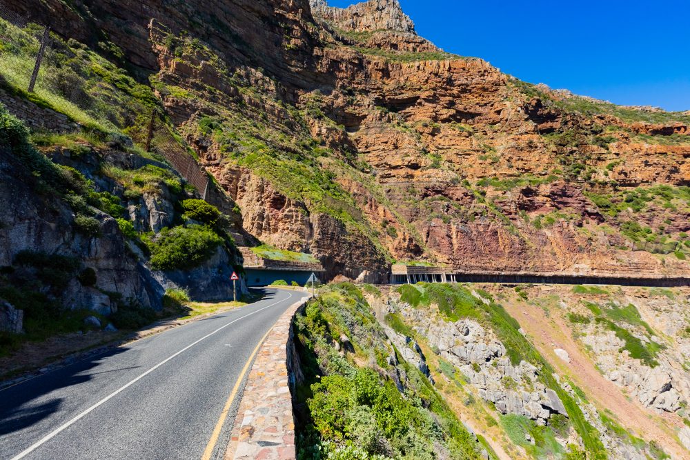
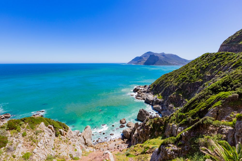
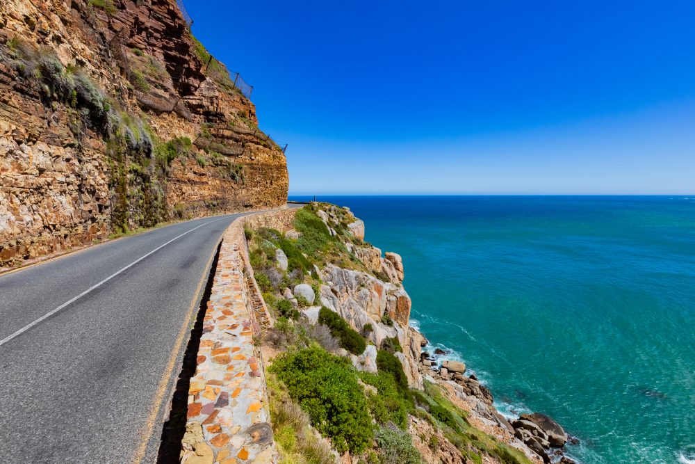
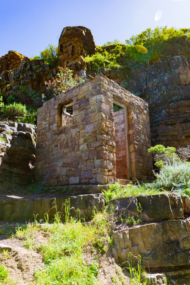
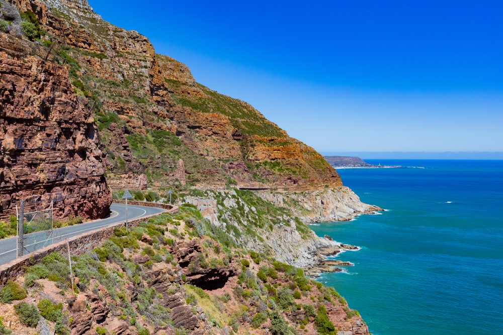
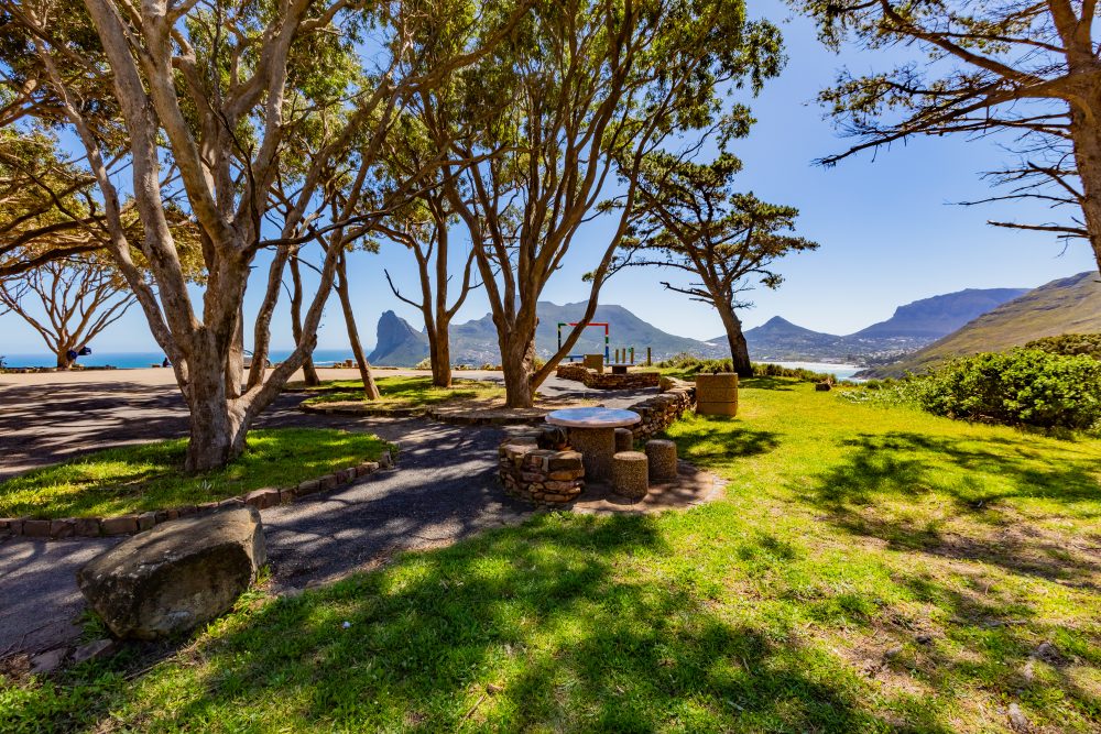
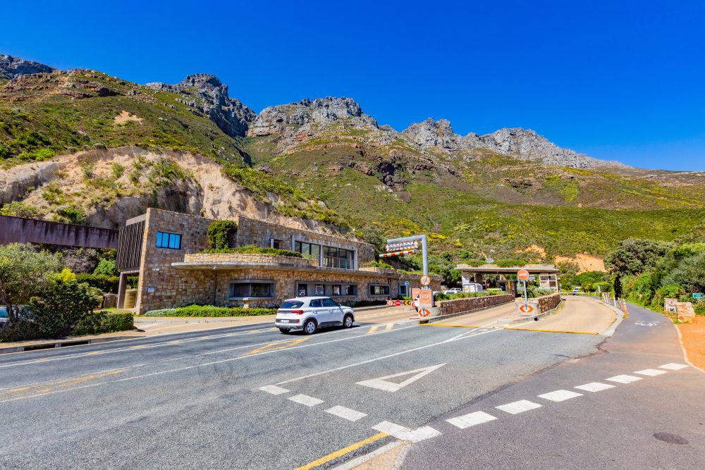
Chapman’s Peak, located on the western flank of the Table Mountain National Park, was first constructed in the early 20th century and relied heavily on convict labour, reflecting the social and political conditions of the time. The road was built in a difficult terrain with limited technology, representing a remarkable achievement in early South African engineering. It was opened in 1922 and is highly significant in terms of construction technology. It provides a vital transport link as well as a world-renowned scenic experience, offering sweeping views of the Atlantic coastline, Hout Bay Harbour, and the Cape Peninsula mountains. The site lies between the coastal settlements of Hout Bay and Noordhoek, forming part of one of the most scenic coastal routes in the country. The engineering work at Chapman’s Peak not only provides increased safety to road users but has also put South Africa’s name because of the high technical skills on display.
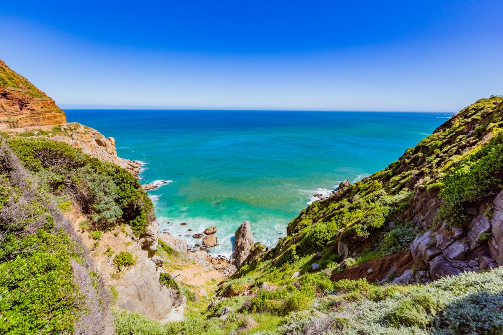
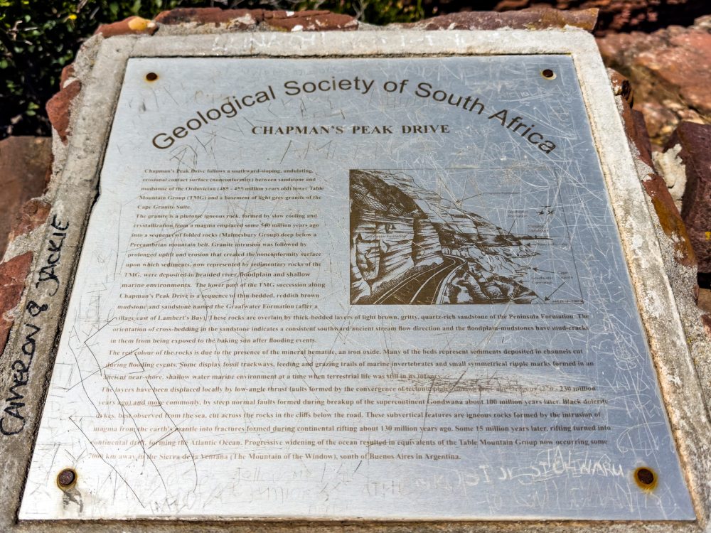
Chapman’s Peak is also characterised by an impressive geology which is primarily defined by the Table Mountain Sandstone, a hard, quarzitic rock that forms sheer cliffs and rugged outcrops, resting on a foundation of Cape Granite. It is characterised by an exposed geological strata being highly appealing to road users, offering spectacular views of the ocean and mountain. These formations have created steep, dramatic landscapes that make the road both visually impressive and technically challenging to maintain. The road provides a scenic drive which is an important tourist attraction, with the exposed geological strata along the drive revealing a clear sequence of ancient rock layers dating back over 450 million years, offering valuable insights into the region’s geological history. The mountain’s instability due to natural weathering and rockfalls has necessitated ongoing engineering interventions such as rock nets, tunnels, and reinforced barriers to ensure safety while preserving the scenic integrity of the site.
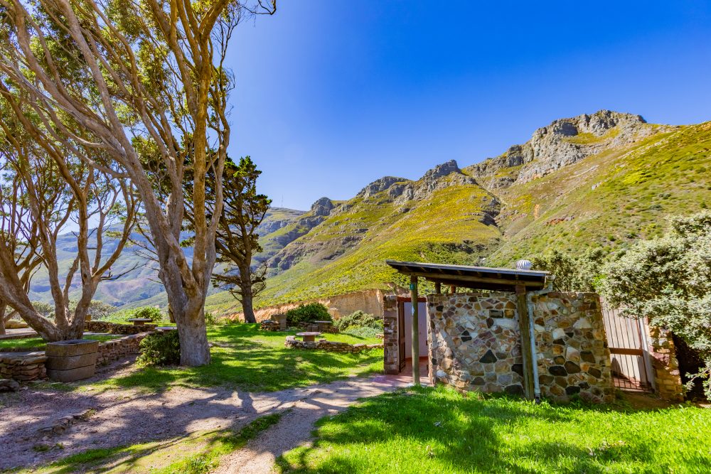
Chapman’s Peak is a hotspot of rare and endemic plants. Furthermore, Chapman’s Peak area forms part of the Cape Floristic Region, a UNESCO World Heritage Site recognised for its exceptional biodiversity. The surrounding environment is dominated by fynbos vegetation, home to numerous rare and endemic plant species that thrive in the nutrient poor soils of the sandstone slopes. The area supports a diverse range of fauna, including small antelope, baboons, and a rich variety of birdlife adapted to the coastal mountain habitat. The coastal climate is characterised by strong winds, heavy winter rainfall, and occasional mist, all of which shape both the natural environment and the engineering challenges of maintaining the road.
GPS Waypoints: 34°4'38.95"S 18°21'25.7"E