Kameeldoorns Engravings
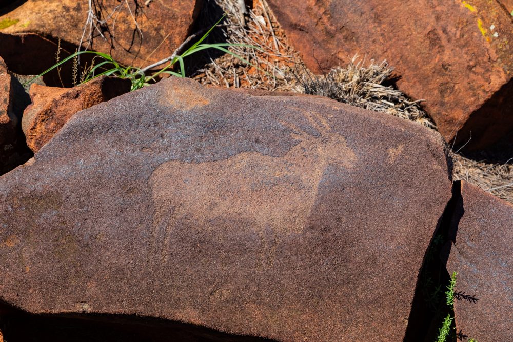
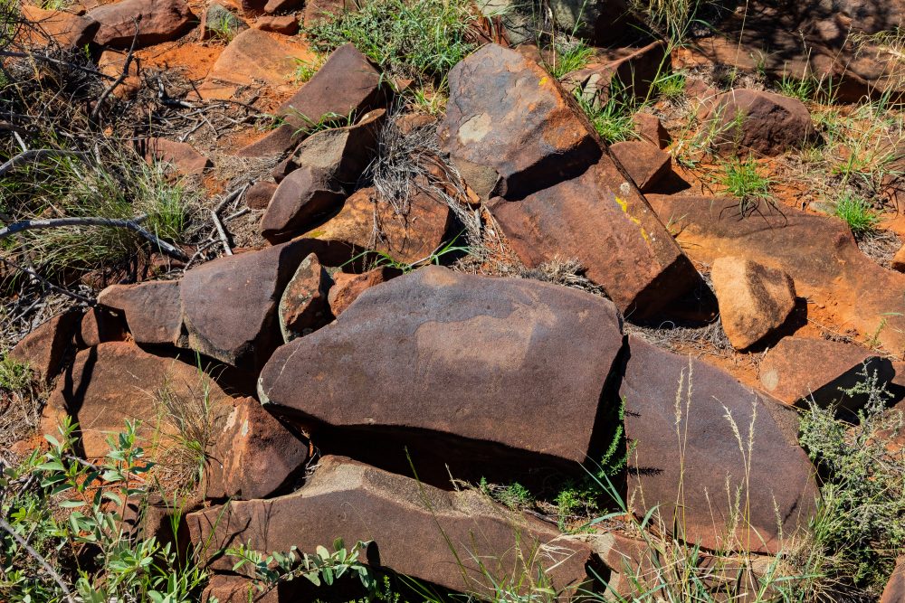
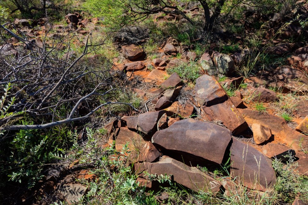
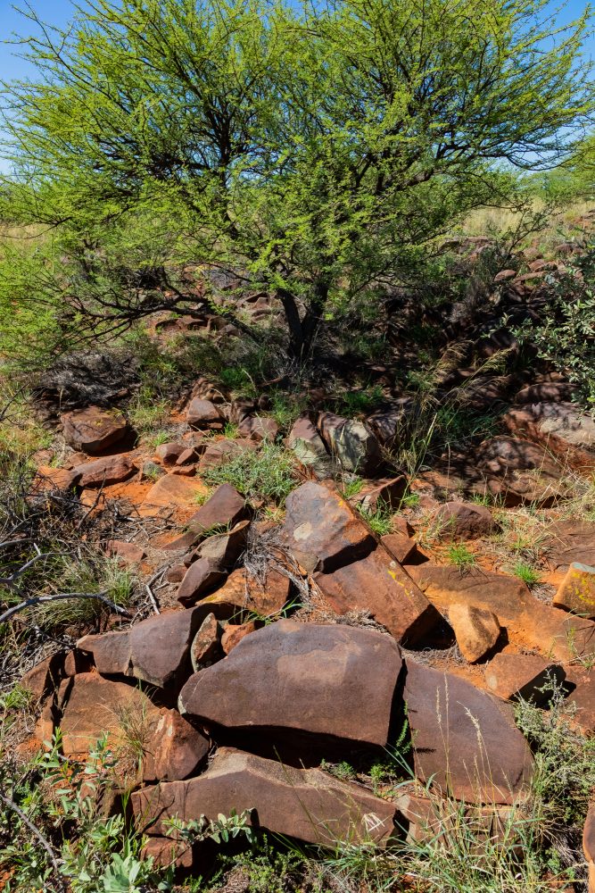
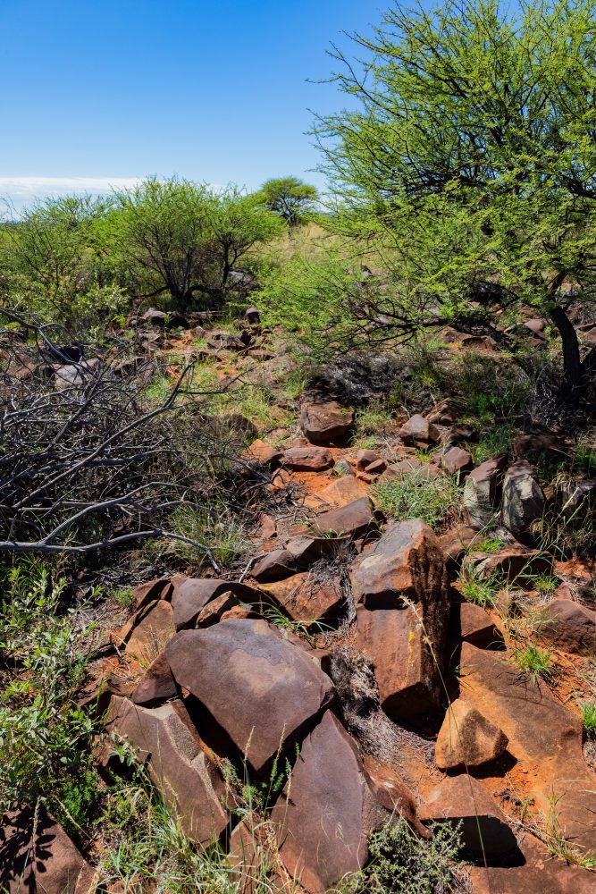
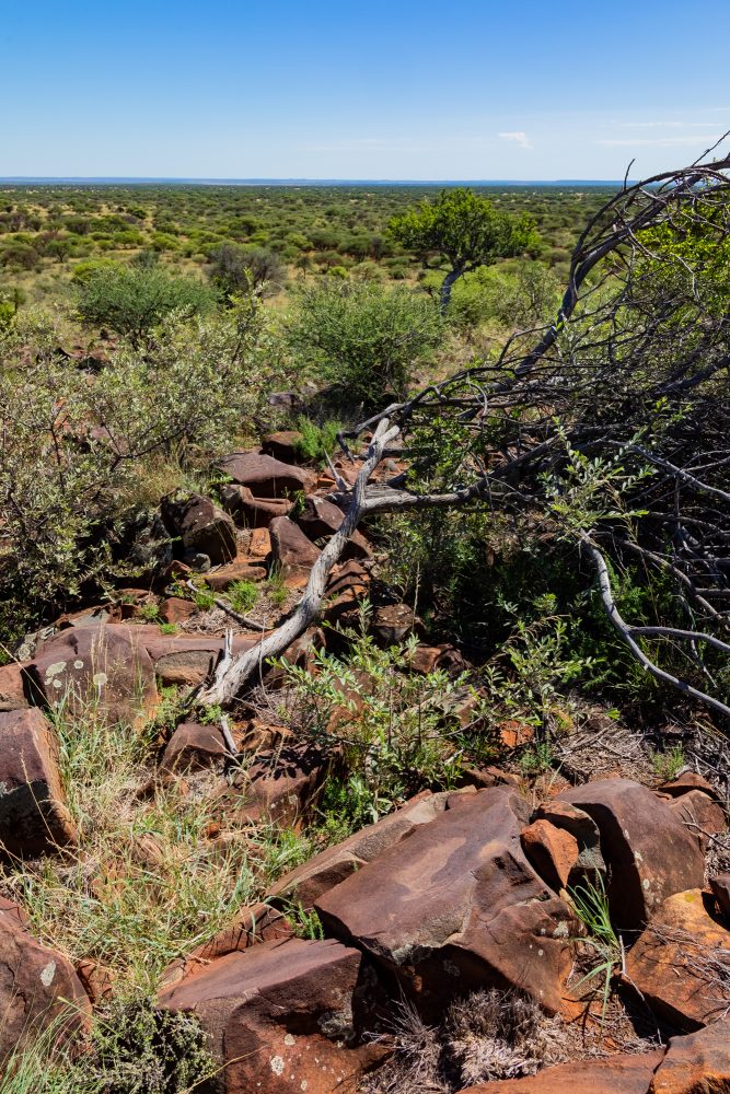
This engraved site, on a one small hill, is found on either side of farm fence, which previously separated two farms, namely, Kameeldoorns and Ou winterhoek (Scholtz Fontein North). It is located on a low andesite hill, straddling the two former farms. What this indicates is that when farm boundaries were drawn, there was no consideration for cultural heritage. It is for this reason that what would have been one large, engraved site suddenly occurred within two farms. Some of the engraved stones could have been used to mark the farm boundary, as it was customary within this landscape. Having a rock art site straddled between the to farms is not unique in the Karoo landscape. The Driekopseiland is an engraved site found along the bed of the Riet River which is found between two farms and two districts.
The hill where these engravings are found occupies a prominent but accessible position in the landscape. As with many engraved hilltops, the site’s elevated position would have made it a visible and meaningful landmark within the precolonial cultural landscape. The engravings occur on andesite rock surfaces exposed along the slopes and crest of the hill. These surfaces provide a durable medium well suited to fine pecked engraving, which has allowed the imagery to remain in good condition.
The surrounding environment is characteristic of the region’s open savanna, with the hill providing extensive views across the landscape. Such locations are frequently associated with symbolic, ritual, or territorial significance in precolonial contexts. The setting reinforces the interpretation of the hill as a focal point of cultural activity rather than a domestic site.
On the one side of the previous fence, the former Kameeldoorns farm, are engravings that include an ostrich, warthog, hartebeest, elephant, antelope – with what looks like an unfinished head, and giraffe. The Ou winterhoek farm features an ostrich, potential buffalo, eland, rhino, hyena, and an elephant. The image of an ostrich that is used in the brochure for the park comes from this site. With land ownership having changed over time, both these farms are now part of the Mokala National Park. The engravings are in good condition and there is no evidence of graffiti or deliberate damage.
GPS Waypoints: 29°06'15.0"S 24°15'49.4"E