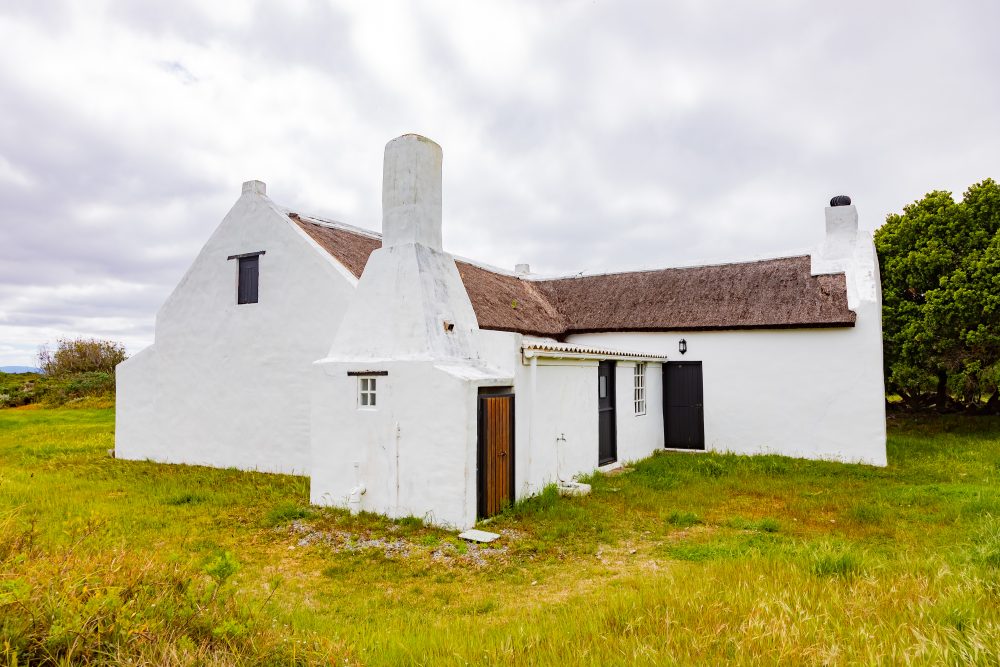
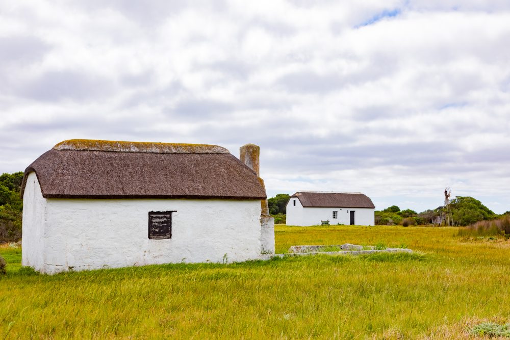
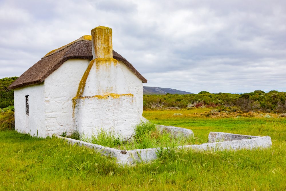
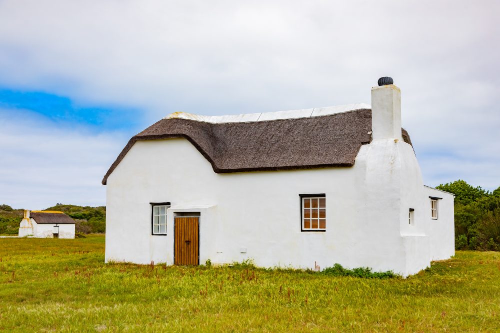
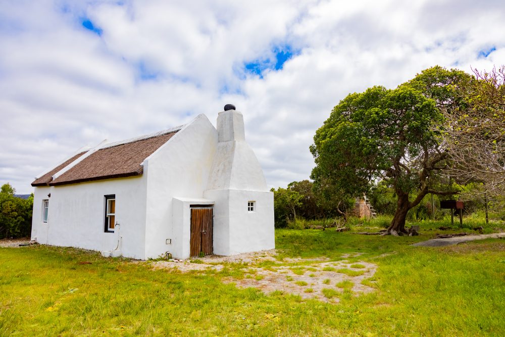
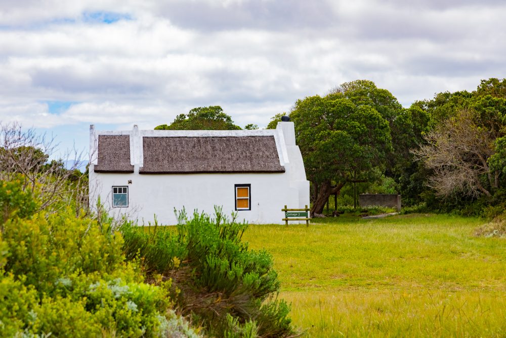
Rhenosterkop
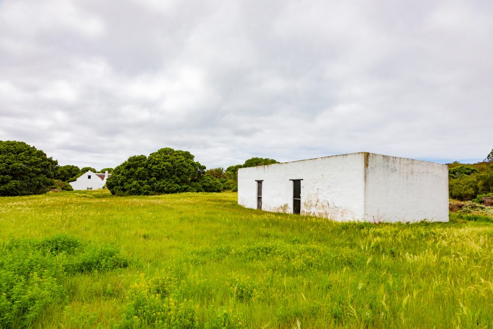
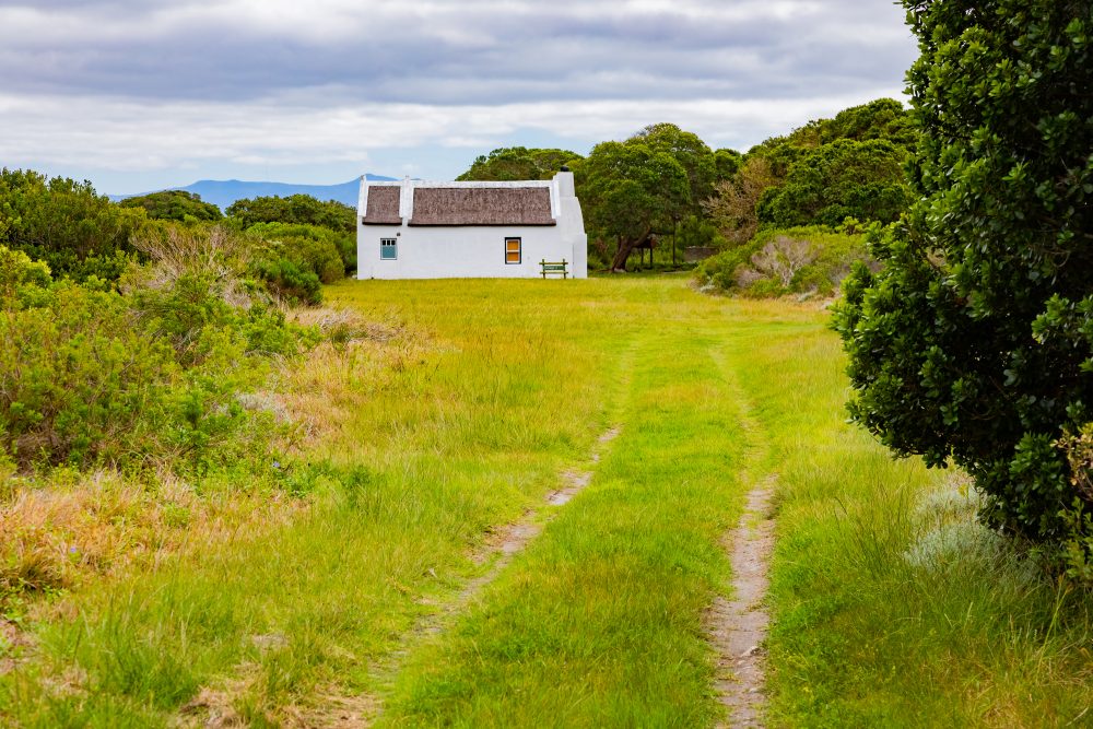
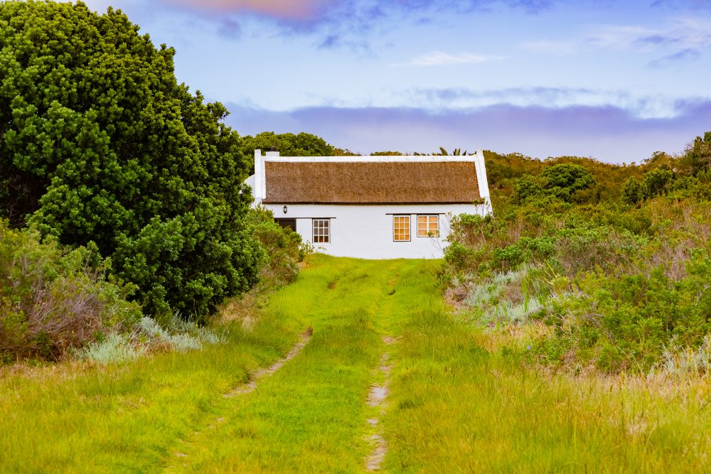
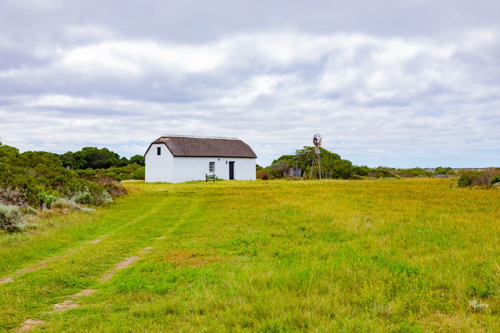
Situated within the open Strandveld landscapes of the southern Overberg, Rhenosterkop lies in a region characterised by gently undulating plains, seasonal watercourses, and hardy coastal vegetation shaped by wind and limited rainfall. It occupies a terrain historically well suited to extensive grazing, with ecological links to nearby river systems such as the Buffeljagts river. The surrounding environment, part of the broader Strandveld biome, reflects a long-standing balance between natural resource availability and pastoral land use, where water access, grazing capacity, and shelter influenced patterns of settlement and farming.
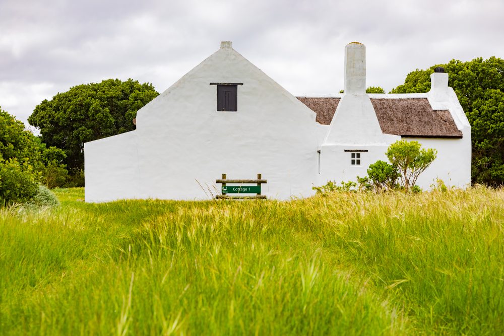
Rhenosterkop holds exceptional cultural significance as one of the oldest farming sites in the Strandveld, with origins tracing back to the early 18th century (1740s), when the land was already in use for grazing. One of the early farmers was Matthys Rostock Lourens, who secured grazing rights in 1757. This early occupation places Rhenosterkop within the expansion of colonial pastoralism in the Cape, where loan farm systems enabled settler families to utilise vast tracts of land for livestock.
Matthys Johannes Lourens was subsequently granted 2126.33 hectares in 1831, which was formally registered by the Cape Government. This reflected the transition from informal grazing rights to surveyed and legally recognised land ownership. The farm is also closely associated with local governance and rural administration through Matthys Johannes Lourens’ appointment as field cornet of the Soetendaals valley in 1799. The appointment of Matthys Johannes Lourens’ highlights the integration of agricultural life with systems of colonial authority, where landowners often held administrative and judicial responsibilities within their districts.
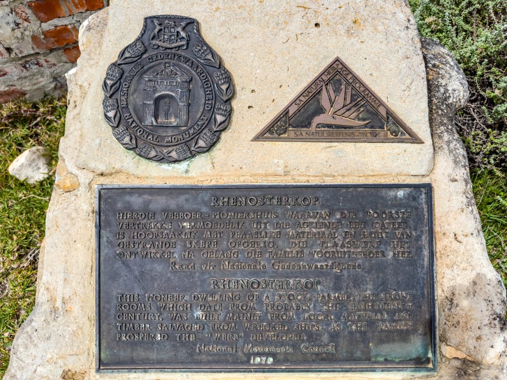
Rhenosterkop was declared as a National Monument in 1973, under the former National Monument Act of 1969, as a representation of early farming traditions in the region. As a cultural landscape, Rhenosterkop embodies the layered history of land use, governance, and rural life in the Strandveld, preserving a tangible link to the early development of agriculture in the southern Cape and the enduring relationship between people and this resilient environment. The acquisition of a portion of this property by South African National Parks in 2002 has further ensured its protection within a broader conservation framework.
GPS Waypoints: 34°45'48.7"S 19°55'51.8"E