Mapungubwe Hill
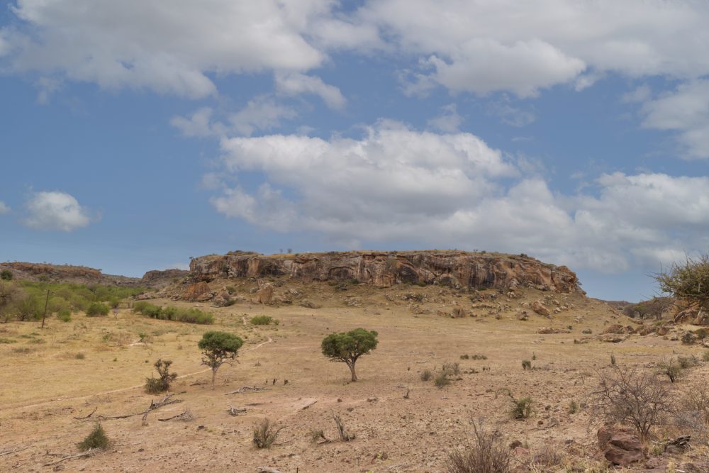
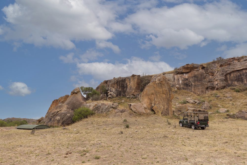
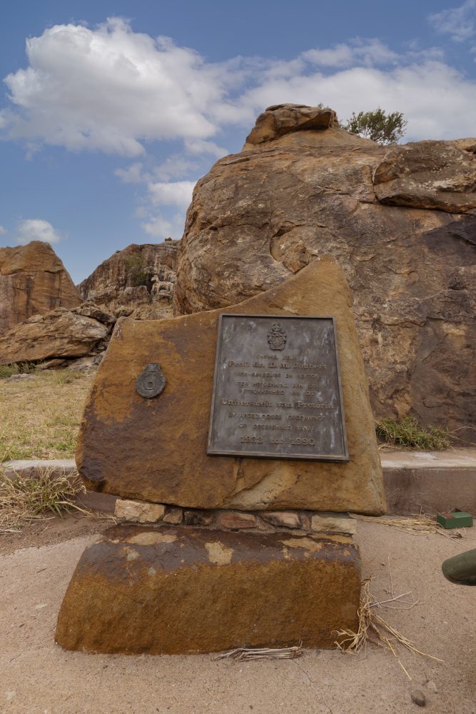
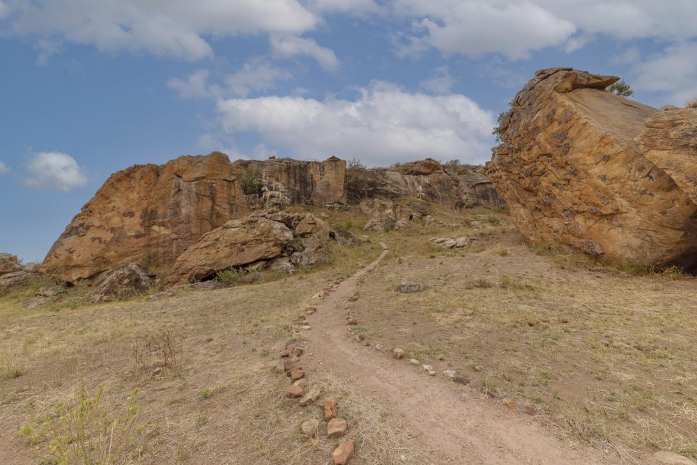

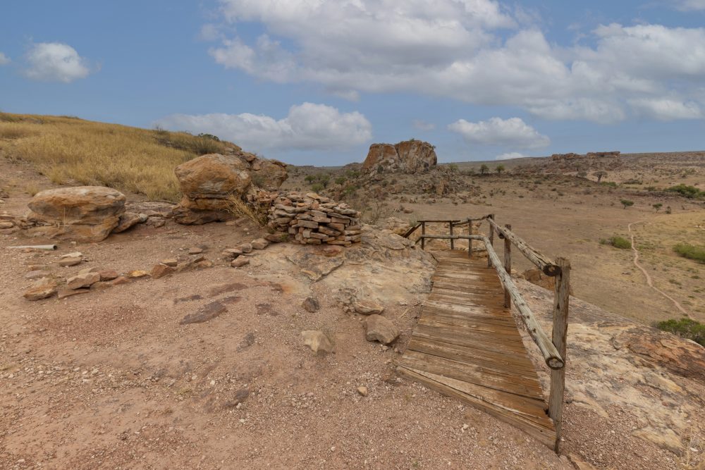
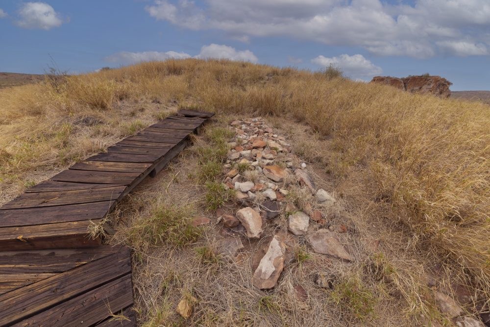
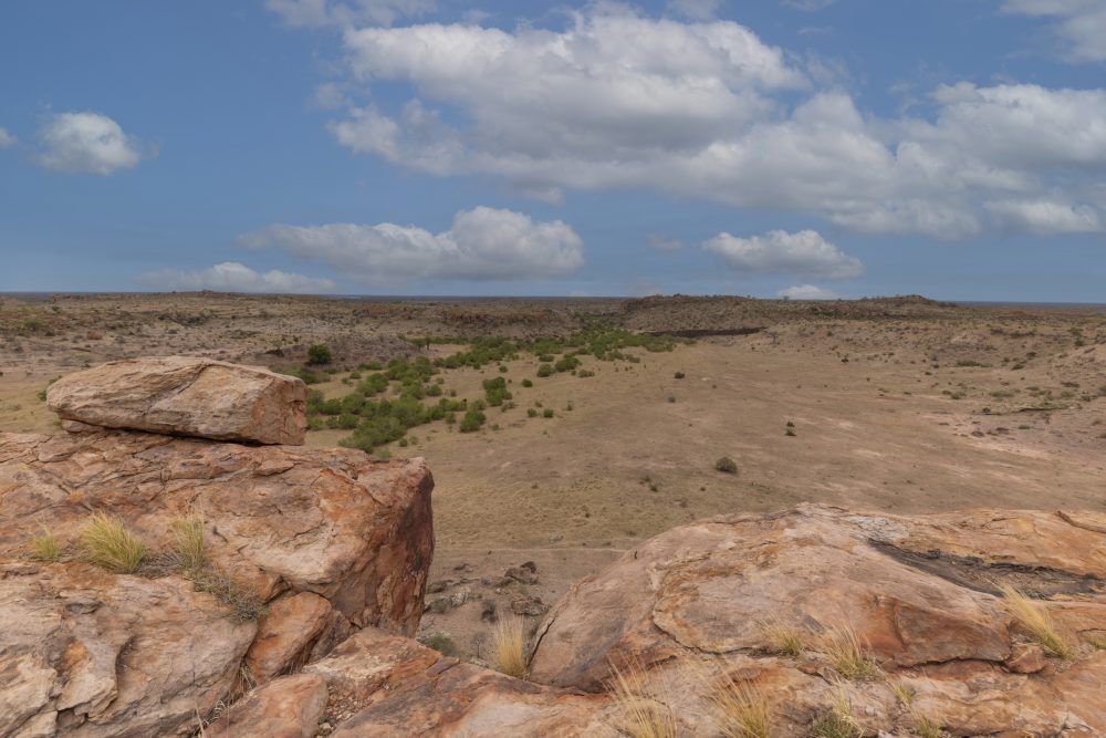
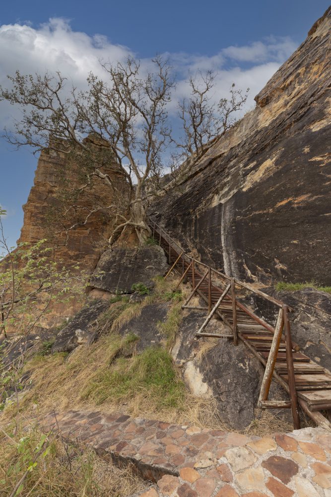
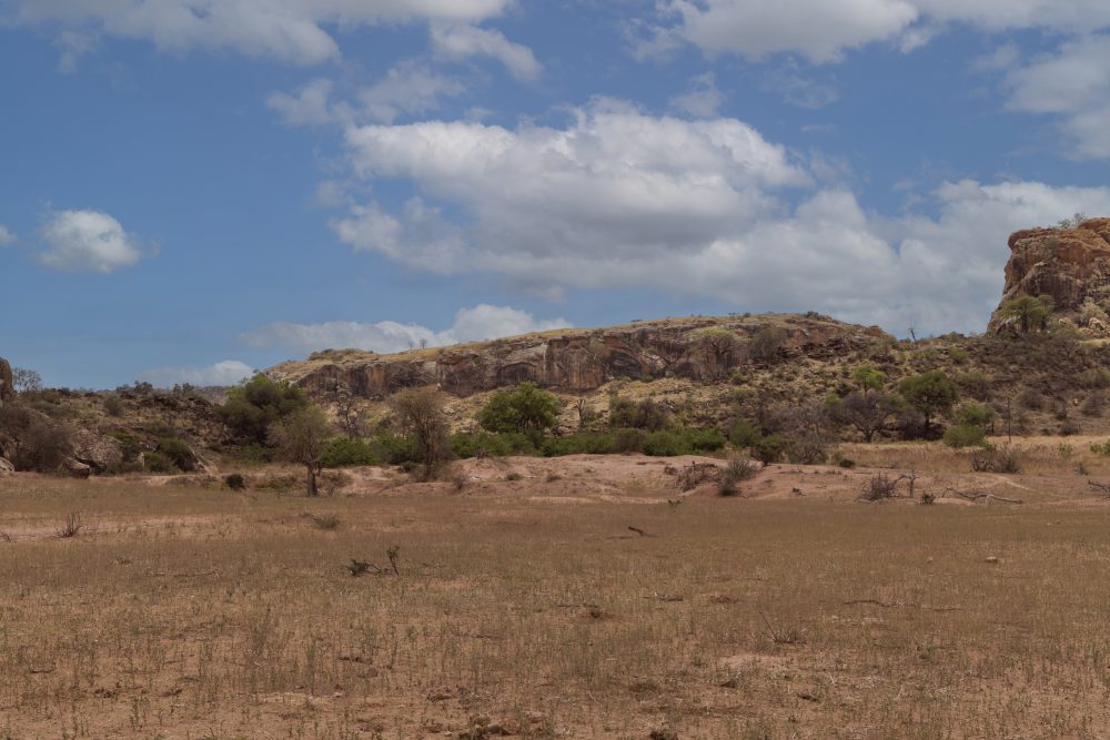
Mapungubwe Hill, located at the confluence of Limpopo and Shashe rivers, is a steep, sandstone hill rising approximately 30 meters above the surrounding landscape, near the borders with Botswana and Zimbabwe. The hill, which was used as a royal residence and burial ground for elite members of the Mapungubwe Kingdom because of the graves found at the top, is characterised by its rocky, terraced slopes, with narrow pathways leading to the flat summit. Commoners are thought to have lived in the surrounding landscape around the hill.
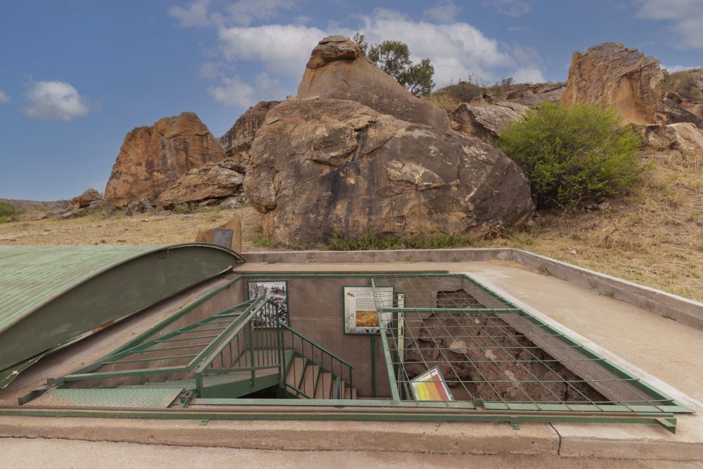
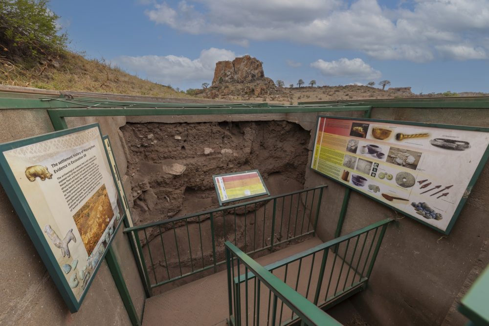
Mapungubwe is well known as the site with the earliest evidence for long-distance trade networks with the east, as evidenced by glass beads, porcelain, and shells. Additionally, there is evidence of iron smelting, agriculture, and craft production in the surrounding lowlands. The site represents the shift toward social stratification, with elites physically separated from the general population. This was a significant cultural and political development in early southern African history.
GPS Waypoints: 22°11'33"S 29°14'20"E