Water Wells
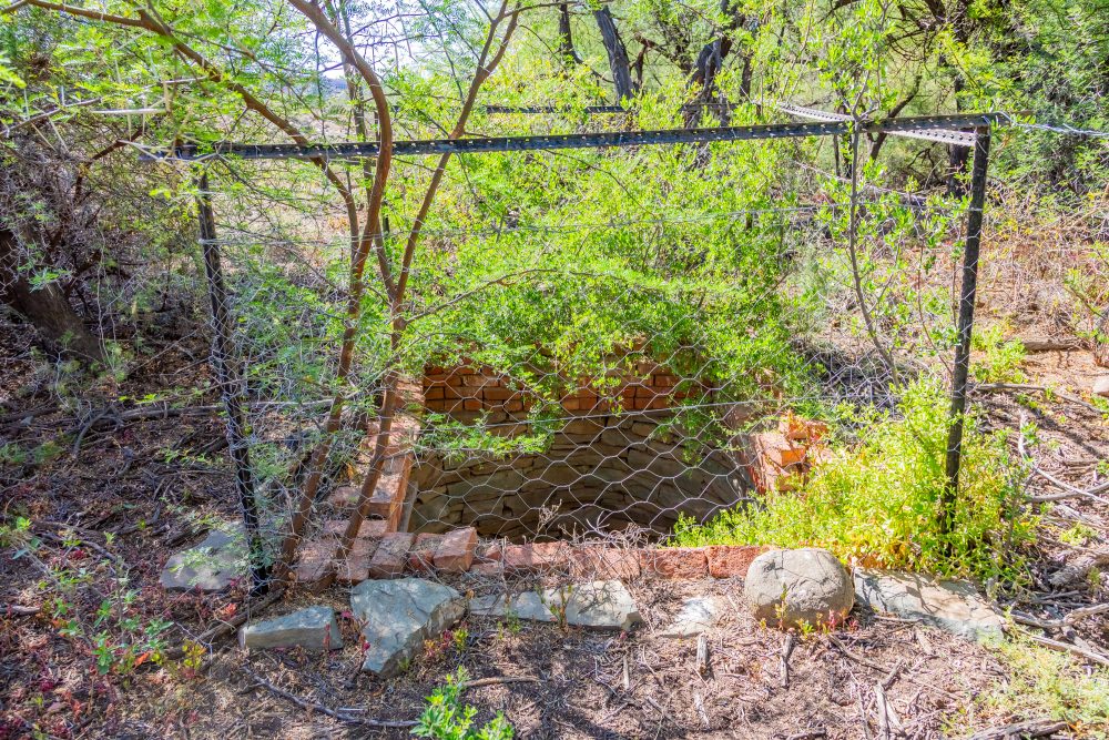
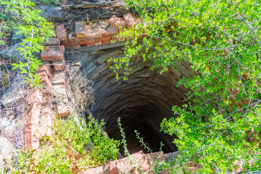
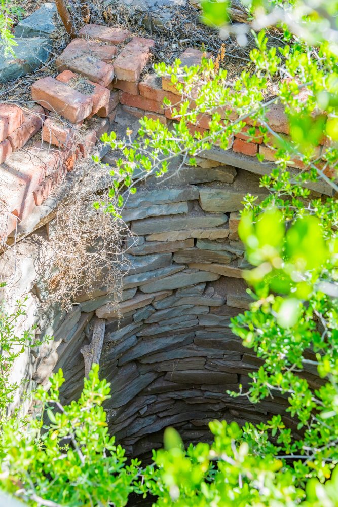
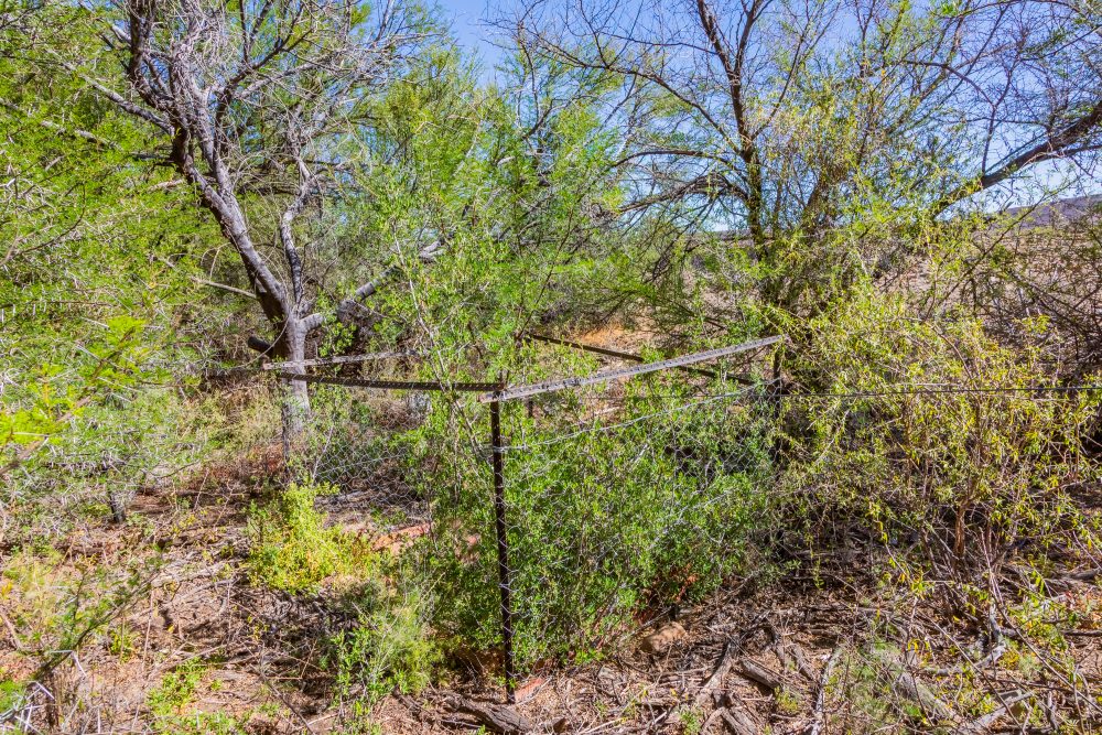
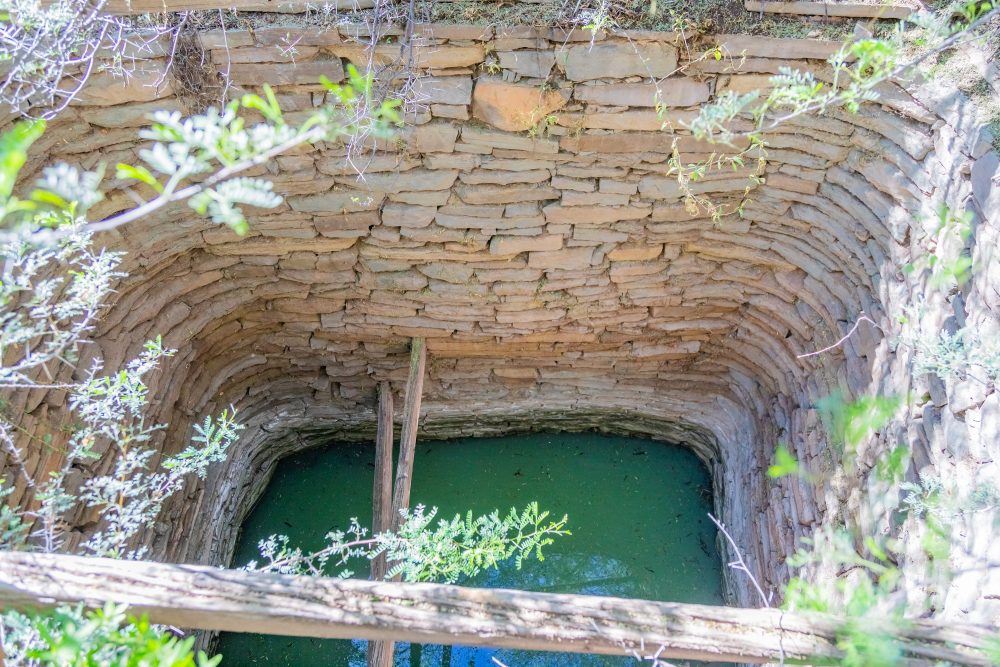
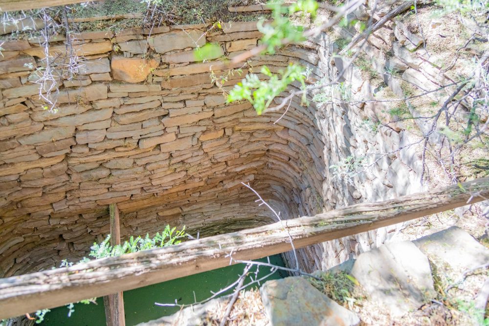
There are two wells inside the park. The first is a very deep water well with damaged fencing surrounding it. While its depth cannot be confirmed, the rubble surrounding it certainly gives an indication of how deep it may be. The well was probably built in the 1800s, although such cannot be confirmed. It is located at a fair distance from the main road. The second well, just like the previous one, also appears to be relatively deep. It has a fence that is still relatively intact.
The surrounding environment forms part of the Karoo biome, marked by sparse shrub vegetation, low and unpredictable rainfall, and extreme temperature variation between seasons. Water is a scarce and highly valued resource in this landscape. The presence of wells illustrates critical adaptation to environmental constraints, enabling sustained occupation and pastoral or subsistence activities in otherwise marginal conditions. The wells contribute to a cultural landscape shaped by long-term human interaction with limited natural resources.
The geology of the Karoo consists predominantly of sedimentary formations, including sandstone, shale, and mudstone of the Karoo Supergroup. Groundwater in the region often accumulates in fractures, weathered zones, or shallow aquifers within these formations. Traditional wells were typically excavated by hand to access these subsurface water sources. The construction may incorporate locally available stone to stabilise the shaft, demonstrating an understanding of both geological conditions and practical engineering techniques suited to arid terrain.
Karoo is situated within the semi-arid interior of the country, a landscape characterised by open plains, low ridges, and seasonal drainage lines. The wells thus hold cultural heritage significance as a traditional water source reflecting indigenous knowledge systems and water management practices in arid regions. These well represent adaptive strategies developed over generations to locate, access, and conserve scarce groundwater resources. They provide insight into historical patterns of settlement, seasonal movement, pastoralism, and survival within the Karoo environment.
GPS Waypoints: 32°14'23.9"S 22°08'33.5"E