Old Mill
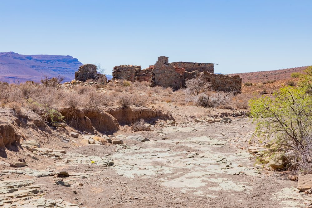
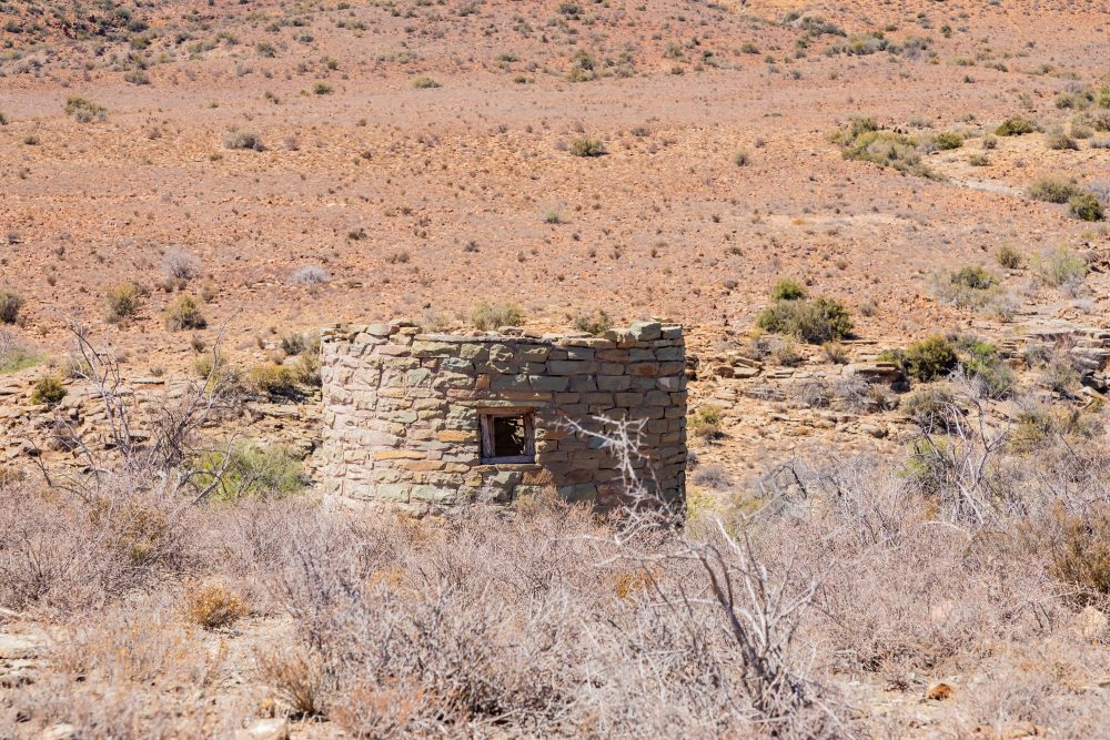
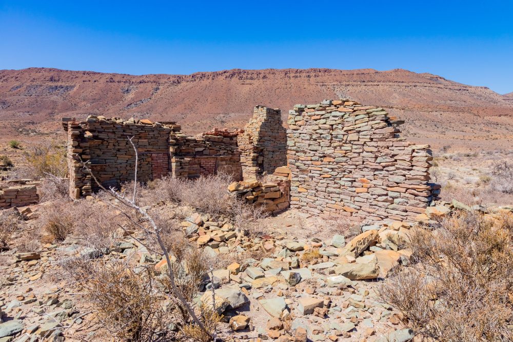
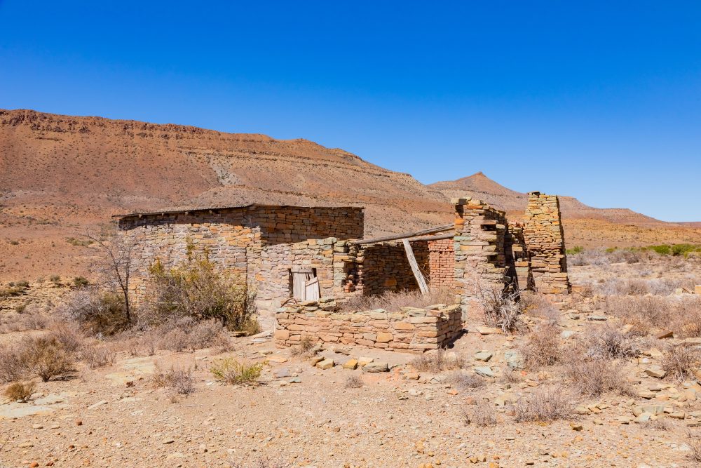
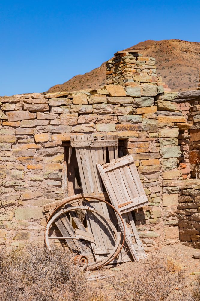
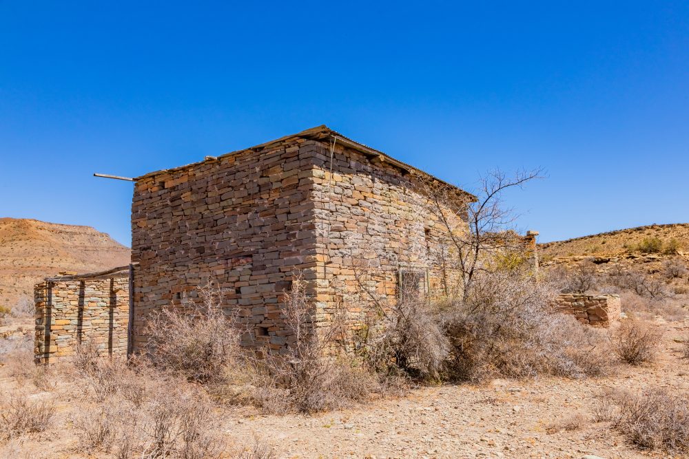
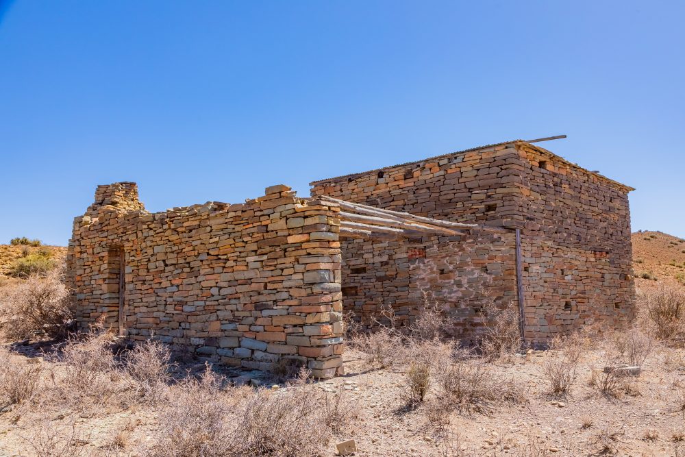
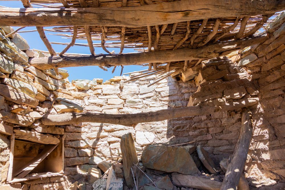
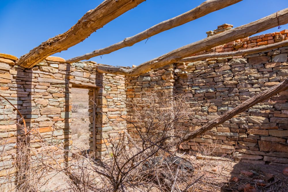
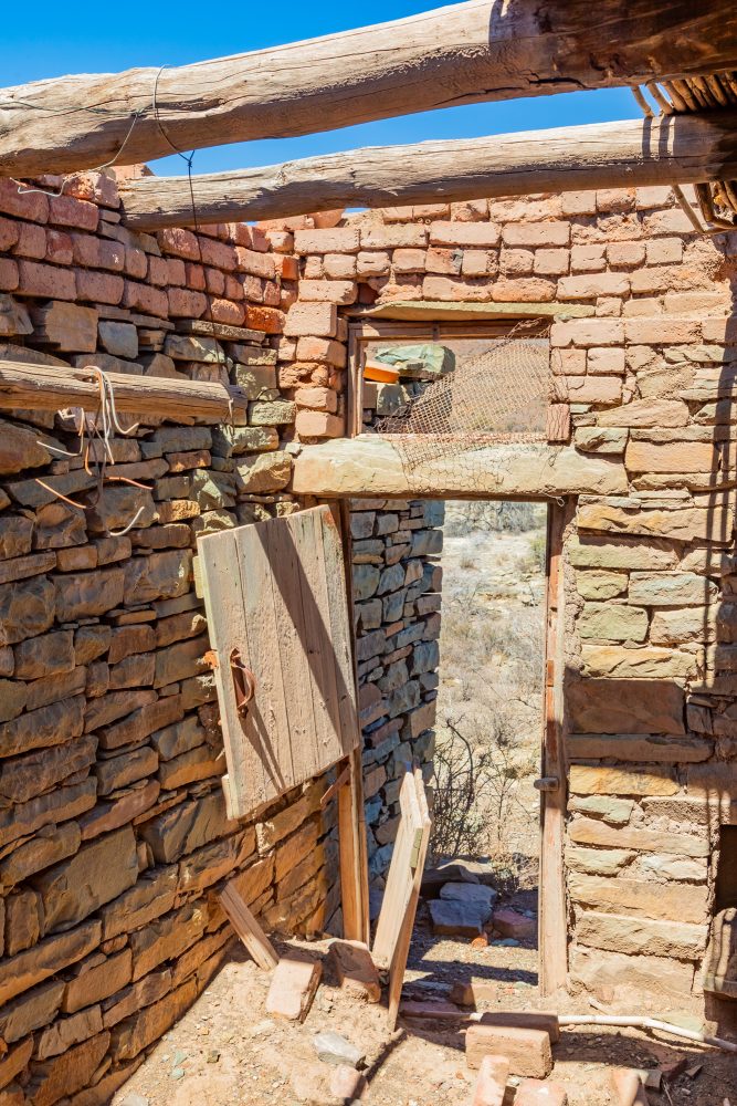
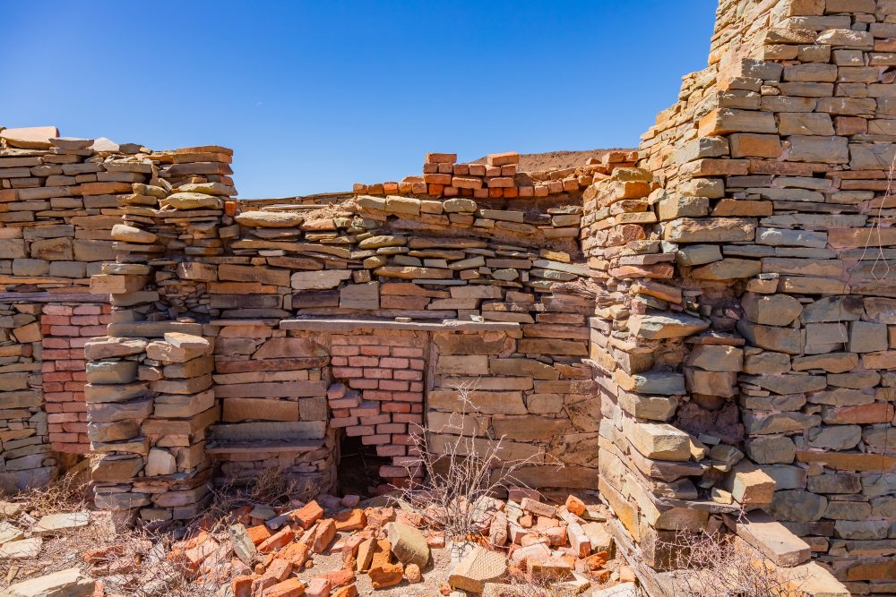
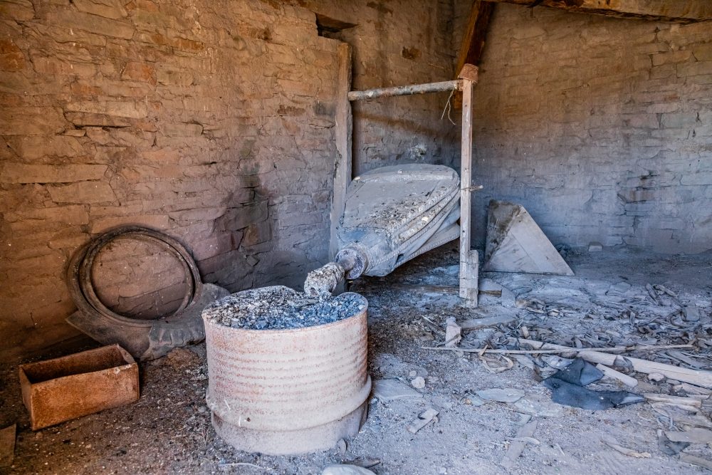
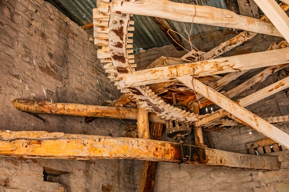
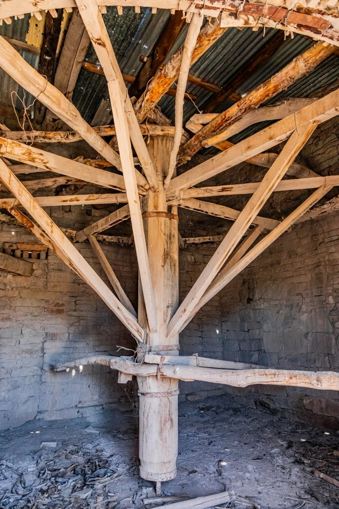
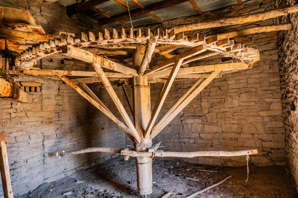
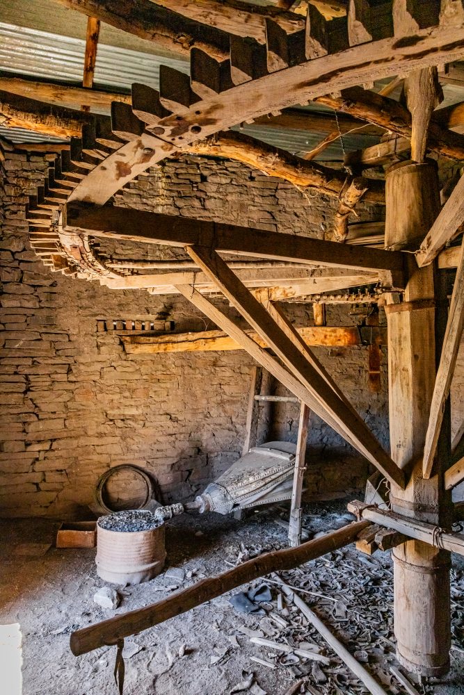
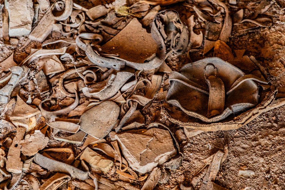
The Old mill, old and dilapidated, is situated near historic farmsteads or small rural settlements. Some of its walls have fallen over. One portion of the building still has an intact roof. The equipment that was used inside the mill building is still within the mill. Its positioning typically reflects access to water sources such as streams or dams, which were necessary to power milling operations, as well as proximity to agricultural fields for processing grain. The mill occupies a strategic location that facilitated both production and distribution within local rural economies. Seasonal temperature extremes and arid conditions influenced both agricultural production and the operation of mills, which were critical for grinding grain to support local subsistence and commercial needs. The mill would have served as a hub of activity within the otherwise sparsely populated rural landscape, linking farming practices with emerging local trade networks. Stone quarried locally was used for building walls, foundations, and grinding components. The natural terrain also influenced the engineering of water channels, wheel placements, or wind exposure, depending on whether the mill was water or wind-powered, demonstrating adaptation to local geological conditions.
The Old mill holds historical heritage significance as a tangible representation of early industrial processes in rural South Africa. Mills were critical to local economies, enabling the processing of grain for both subsistence and trade. The structure provides insight into technological practices, labour organisation, and economic networks of the period, illustrating how rural communities adapted industrial techniques to semi-arid conditions. As a surviving heritage site, the mill contributes to understanding local agricultural economies, early technological innovation, and the broader patterns of rural development in the Karoo. It stands as a key reminder of the integration of industrial and agricultural practices in shaping the social and economic history of the region.
GPS Waypoints: 32°11'14.0"S 22°01'44.3"E