Ou Tuin
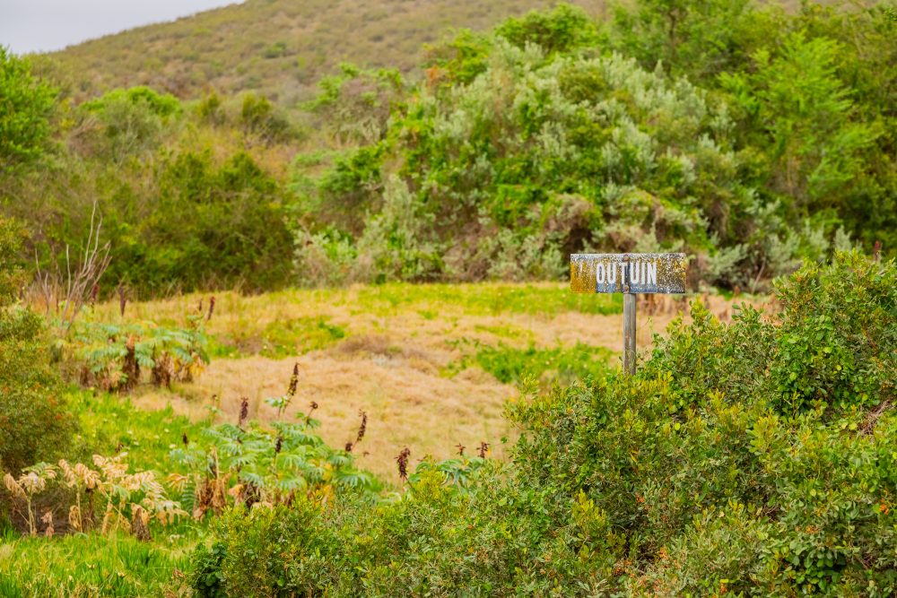
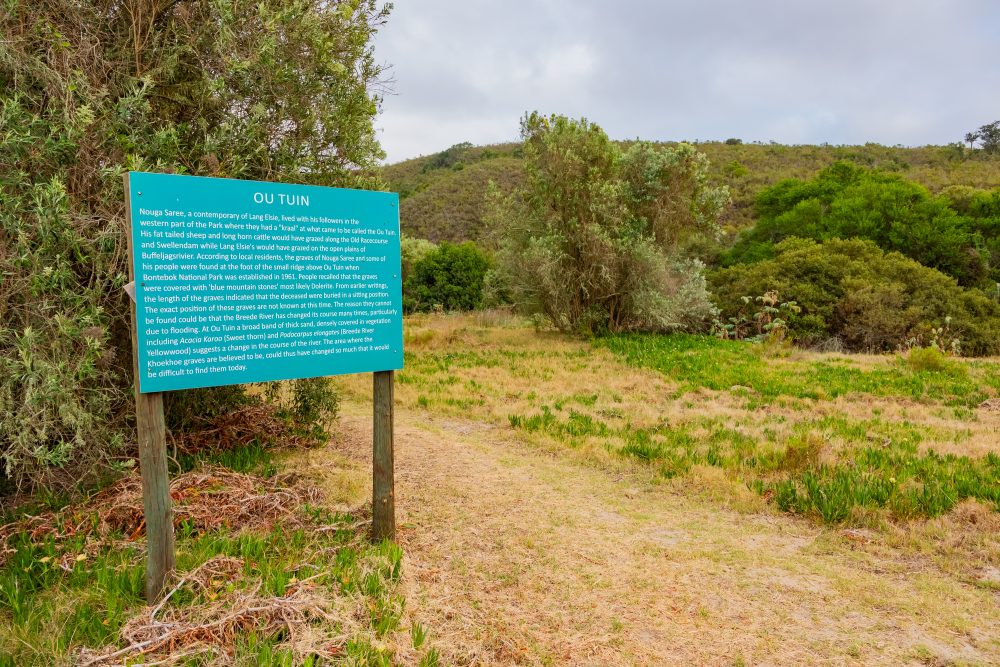
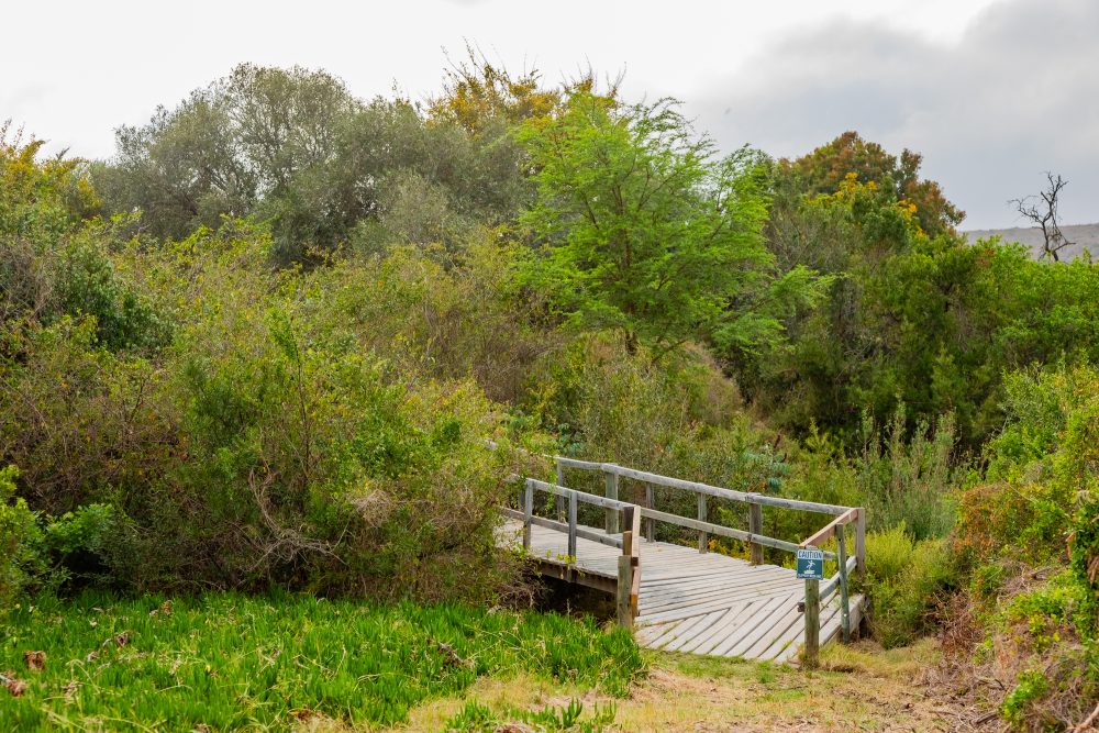
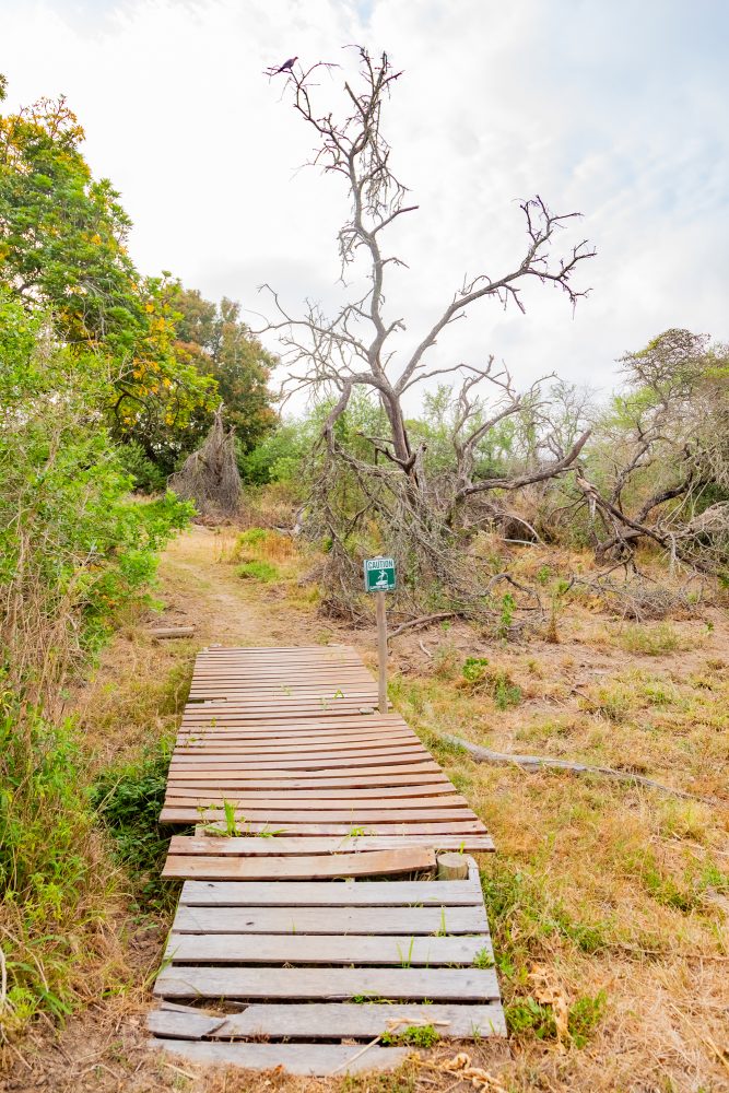
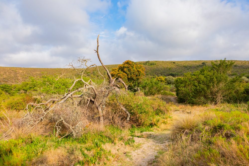
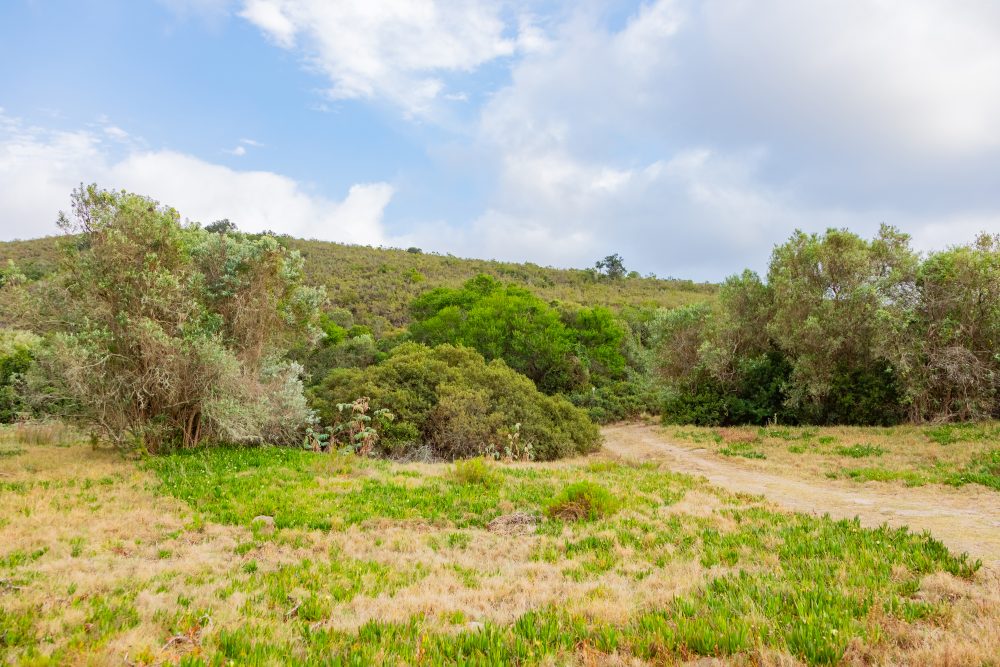
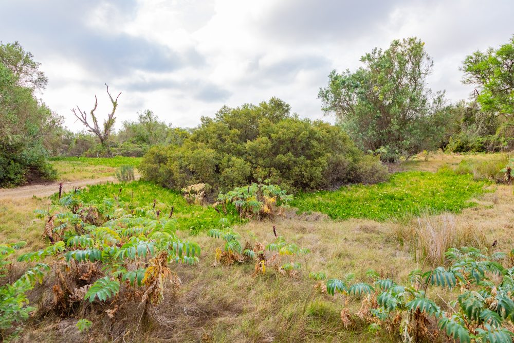
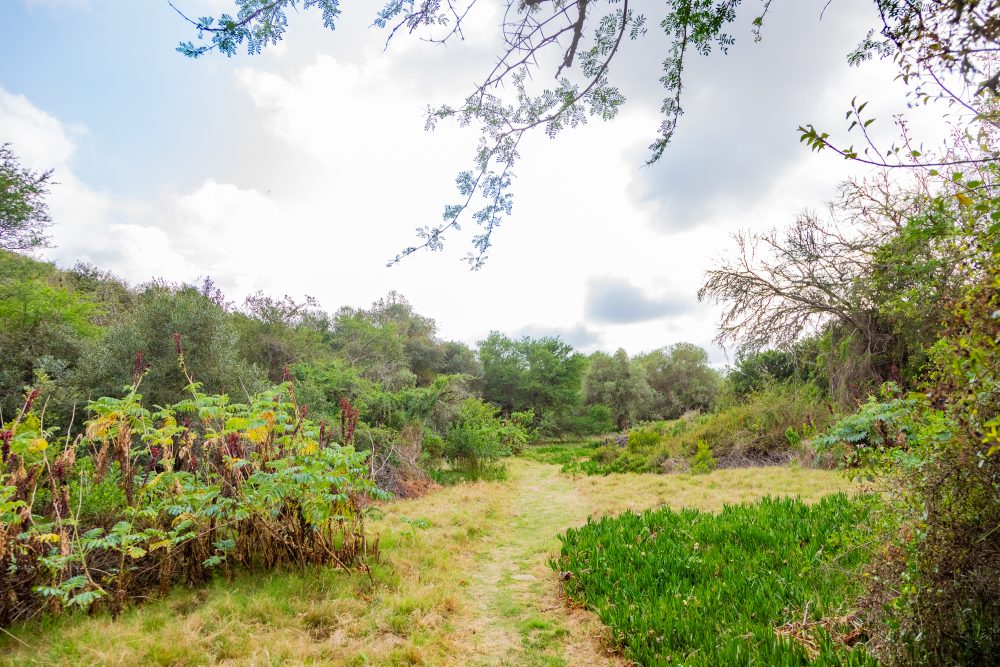
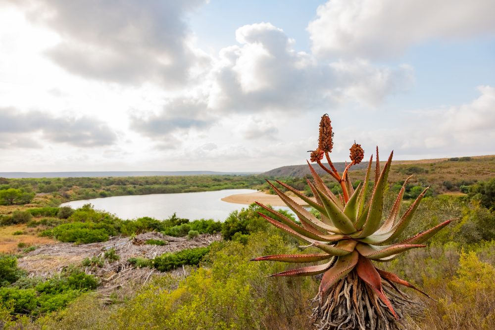
The Ou Tuin is an area that forms part of a gently undulating landscape which is characteristic of the park, with open vistas, scattered riverine vegetation, and fynbos typical of the Renosterveld biome. It is situated near the Breede river. Its position near a small ridge provides natural shelter and access to resources such as water, land for grazing, and game, which historically made it suitable for sustained habitation. The Ou Tuin site holds deep cultural and historical significance as the known settlement of the Hessequa captain Nouga Saree and his followers. The Hessequa were one of the largest and most influential Khoi groups in the southern Cape. They established themselves along the Breede River for generations, relying on cattle herding, hunting, and long-distance trade. The open werf at Ou Tuin reflects characteristic Hessequa spatial organisation open, communal living areas where livestock, social life, and seasonal movement converged.
Nouga Saree’s presence at Ou Tuin situates the site within the broader narrative of late 18th to early 19th century shifts in Hessequa leadership, land use, and engagement with colonial authorities. His settlement here represents a period of negotiation, adaptation, and resilience as Khoi communities navigated profound social and political change. Oral traditions and early accounts emphasise Nouga Saree’s role as a leader who maintained cohesion among his people, making Ou Tuin a centre of identity, authority, and continuity. Reports that the graves of Nouga Saree and several of his followers once lay at the foot of the ridge above Ou Tuin further elevate the site’s significance. Although these burials are not visible today, their historical mention underscores the area’s role not only as a place of living and leadership but also as a place of remembrance. As such, Ou Tuin forms part of a sacred cultural landscape linked to ancestry, heritage, and communal memory. Together, the archaeological, environmental, and historical attributes of Ou Tuin create a rich tapestry of meaning, positioning the site as an important locus of Hessequa heritage within Bontebok National Park.
The association of Ou Tuin with the old Resies Baan (Racetrack) adds an additional layer of cultural landscape history. Used for horse racing in the 19th century, the racetrack was both a recreational and social venue for local communities, reflecting evolving cultural interactions in the region and the blending of indigenous and colonial traditions.
The geology of its surroundings is dominated by ancient Table Mountain Group sandstones and associated alluvial soils deposited by the Breede River system. These well drained, mineral poor soils support the unique vegetation communities of the region and contributed to the character of the open werf at Ou Tuin. The gentle slope of the ridge above the site not only framed the settlement visually but also played a role in local water run off patterns and soil accumulation, making it a practical locality for pastoral activity.
GPS Waypoints: 34°4′4.29″S 20°26′5.19″E