Lang Elsie Settlement
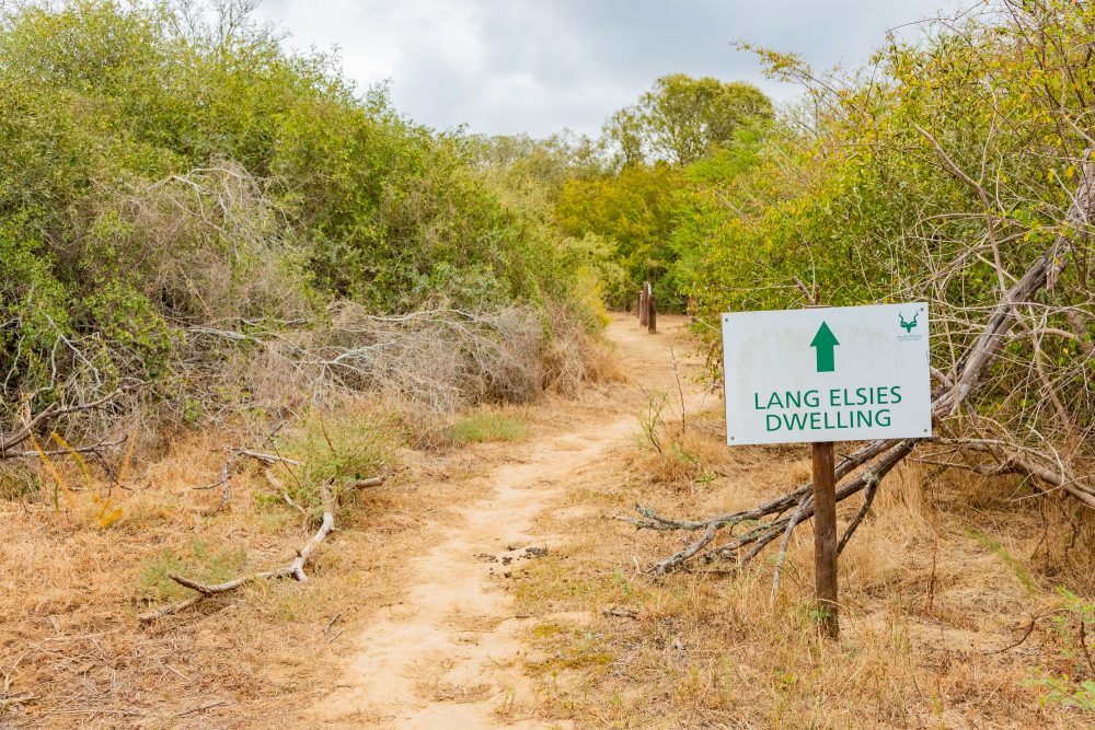
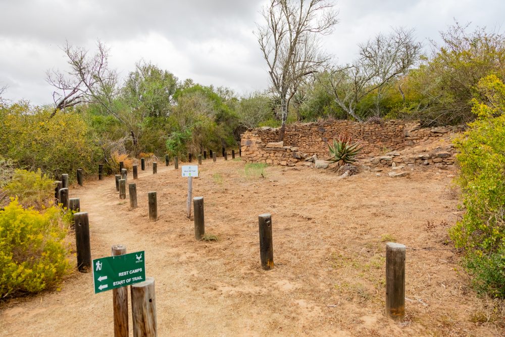
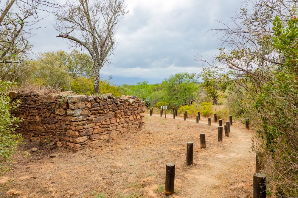
The Lang Elsie settlement lies in the southern portion of Bontebok National Park, close to the Breede River and framed by the rolling plains and fynbos rich landscapes characteristic of the region. The environment is dominated by renosterveld vegetation, interspersed with patches of riverine thicket, providing abundant plant and animal resources that historically supported pastoral and foraging lifeways. The open terrain, gentle slopes, and proximity to water made this area especially suitable for seasonal settlement and livestock management.
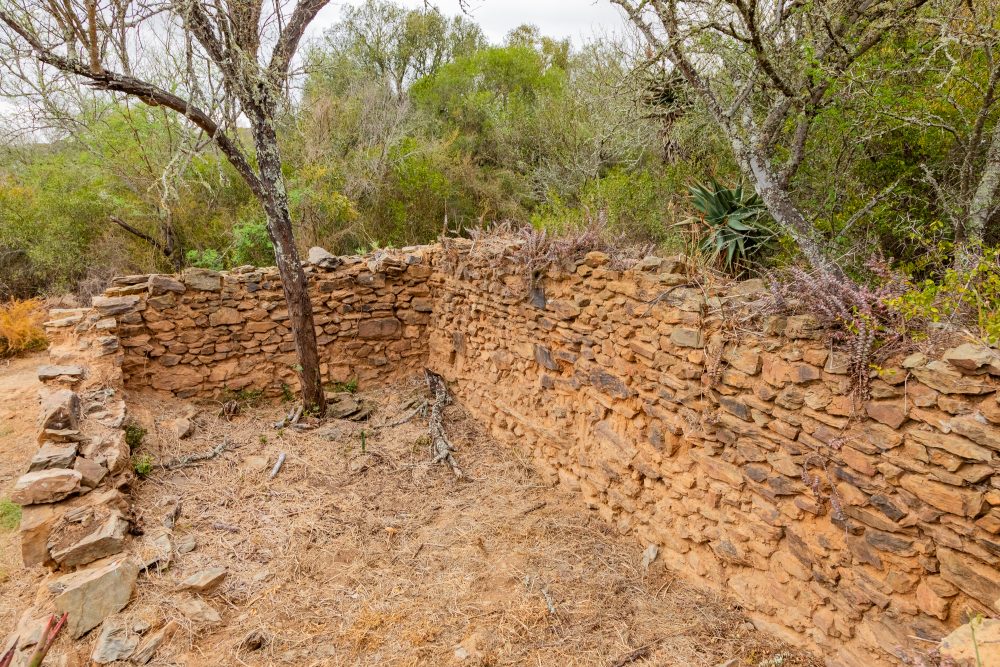
The Lang Elsie settlement is one of the most culturally significant Khoi heritage locations in the Cape, distinguished by its association with Lang Elsie (also known as “Groot Nella”), a prominent female captain of the Hessequa Khoi Khoi. Her leadership, spanning roughly from 1734 to 1800, represents a rare and powerful example of female authority within Khoi society and the colonial frontier context of the 18th century. Lang Elsie’s role as a woman captain further speaks to the diversity of leadership within Khoi societies. Oral histories and archival records indicate that she maintained her community’s autonomy while navigating pressures from expanding colonial settlement, missionary activity, and competition over land and livestock. Her leadership at this site embodies themes of resilience, identity, and continuity for the Hessequa people. Furthermore, as the leader of her community along the Breede River, Lang Elsie oversaw a settlement composed of woven reed huts arranged in an open werf formation, a settlement pattern deeply characteristic of Hessequa pastoral organisation. The werf functioned not only as a domestic space but also as the social and economic heart of the settlement where livestock were herded, agreements and alliances formed, and communal life unfolded seasonally in response to environmental rhythms.
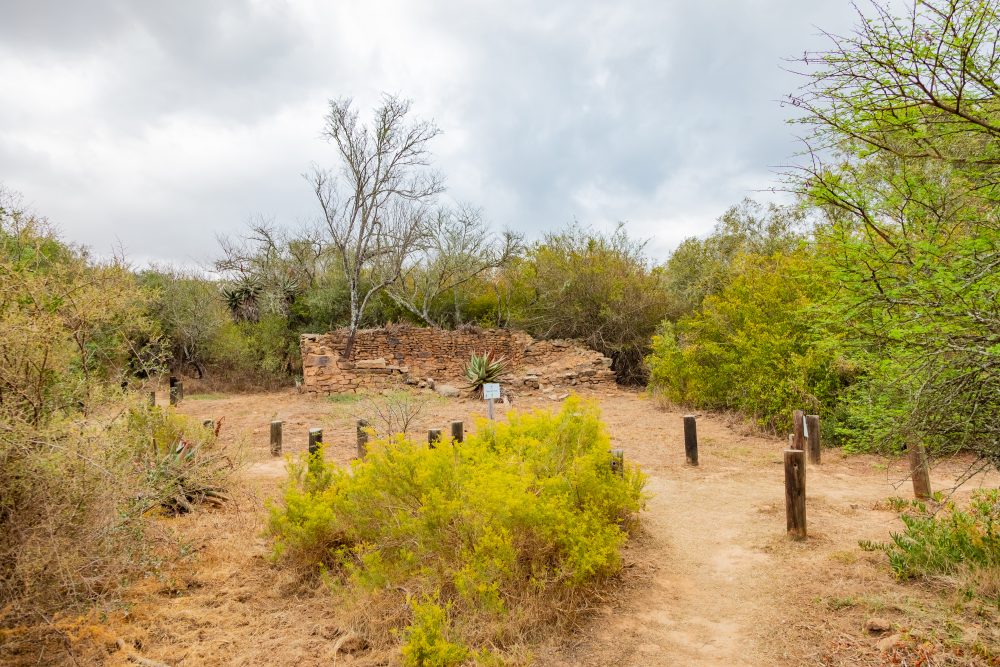
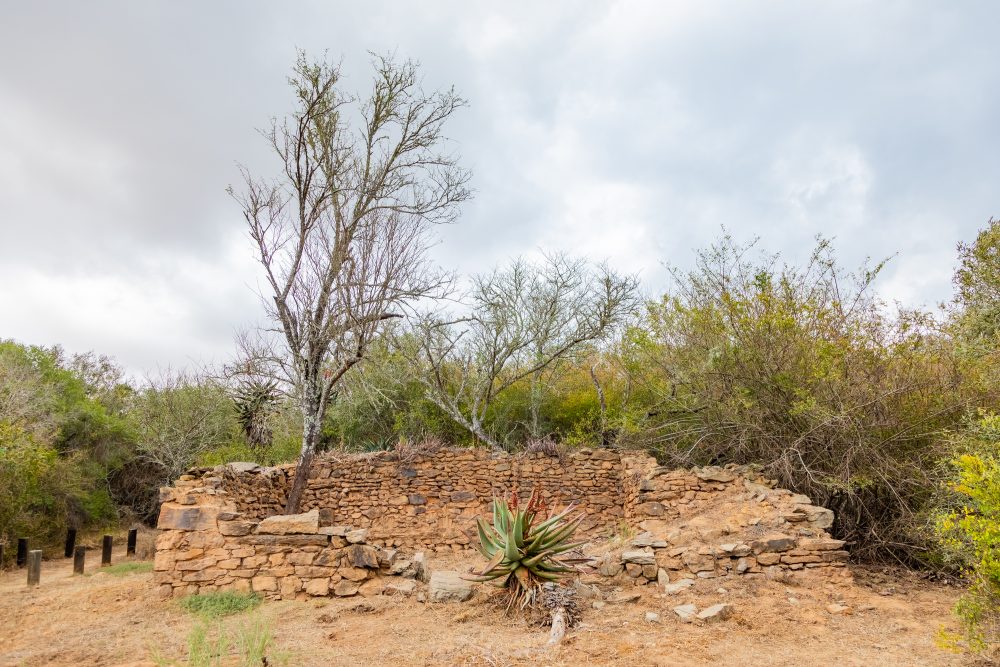
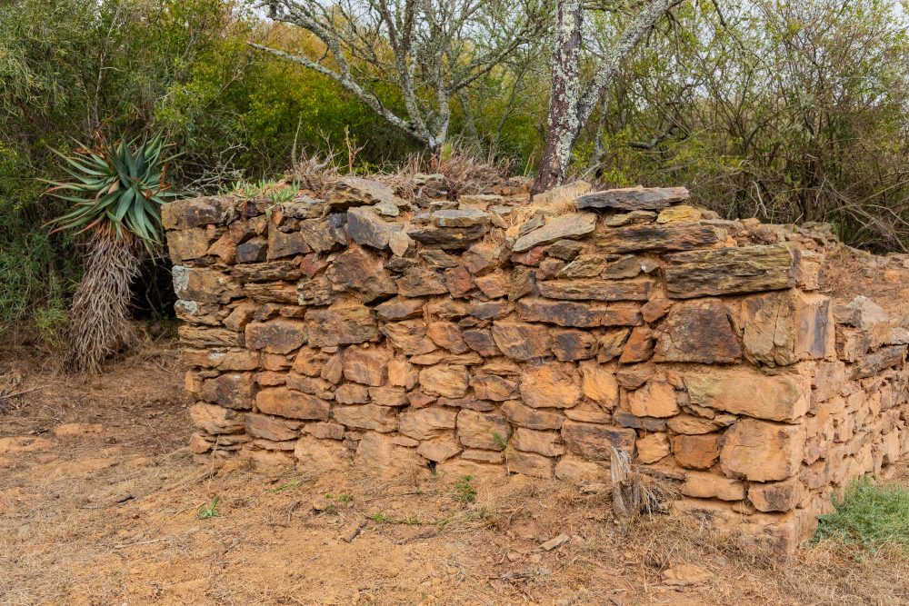
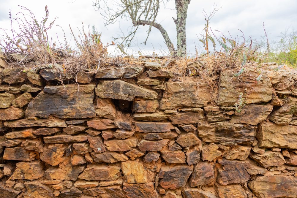
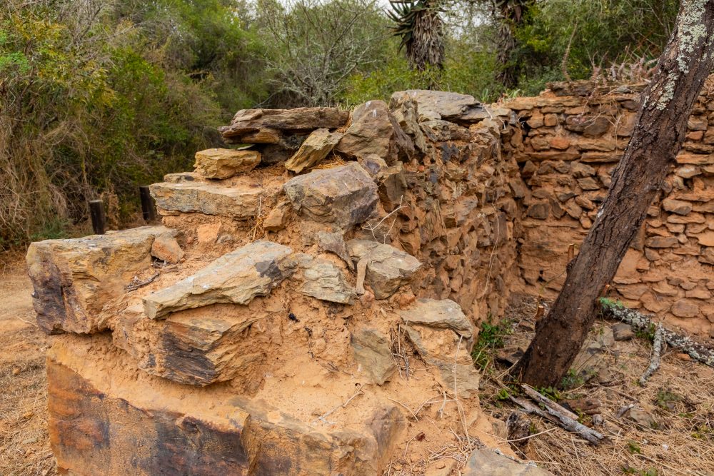
The settlement is also characterised by the ruins of a small stone-built house, which is believed to have been Lang Elsie’s personal residence. This structure is particularly significant, as it reflects a period of adaptation and negotiation at the time when Khoi leaders interacted with Dutch colonial authorities. The presence of a stone dwelling suggests both Lang Elsie’s recognised authority and the complex, dynamic nature of Khoi colonial relationships, which involved diplomacy, trade, conflict, and shifting alliances.
The open werf and the remnants of her stone-built residence offer visitors a rare window into 18th century Khoi lifeways and the lived experiences of a notable indigenous leader. The settlement stands as a place of memory anchoring Hessequa cultural heritage within the landscape of Bontebok National Park and honouring the enduring legacy of one of its most influential captains.
The geological foundation of the settlement consists primarily of weathered sandstone and shale linked to the Table Mountain Group and Bokkeveld formations. These substrates create fertile valleys and well drained slopes that have shaped local vegetation patterns and the availability of grazing. The stable, level ground of the open werf area, where Lang Elsie’s settlement once stood reflects natural landforms shaped by centuries of erosion, deposition, and river dynamics. This geological backdrop not only influenced settlement layout but also framed the daily movements of people, livestock, and wildlife in the broader cultural landscape.
GPS Waypoints: 34°4′41.12″S 20°27′9.88″E