Die Toon
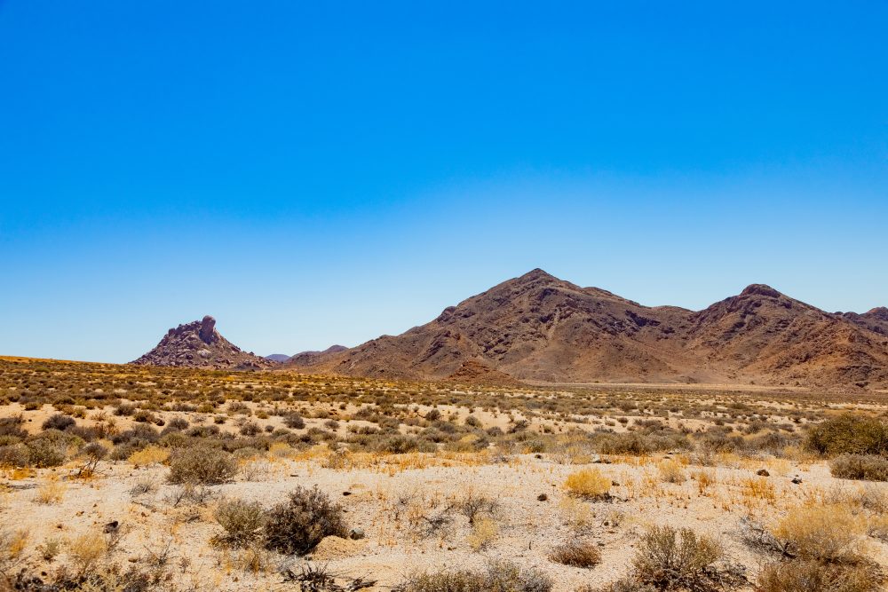
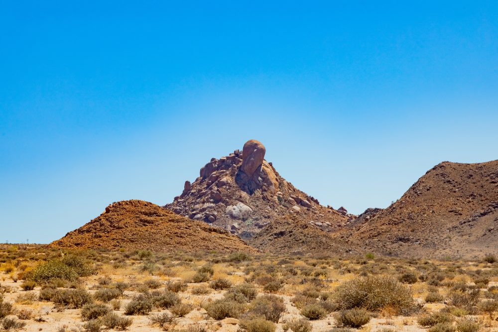
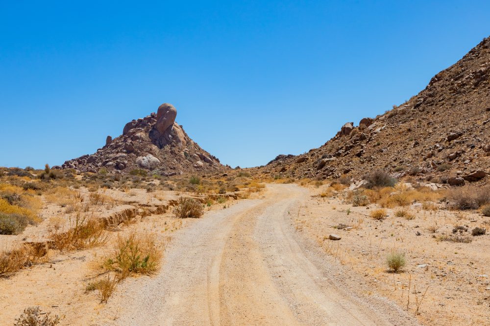
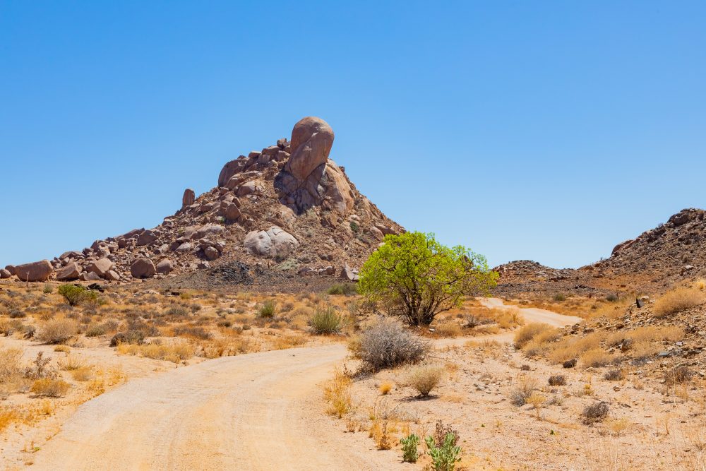
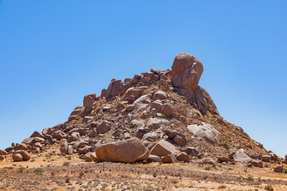
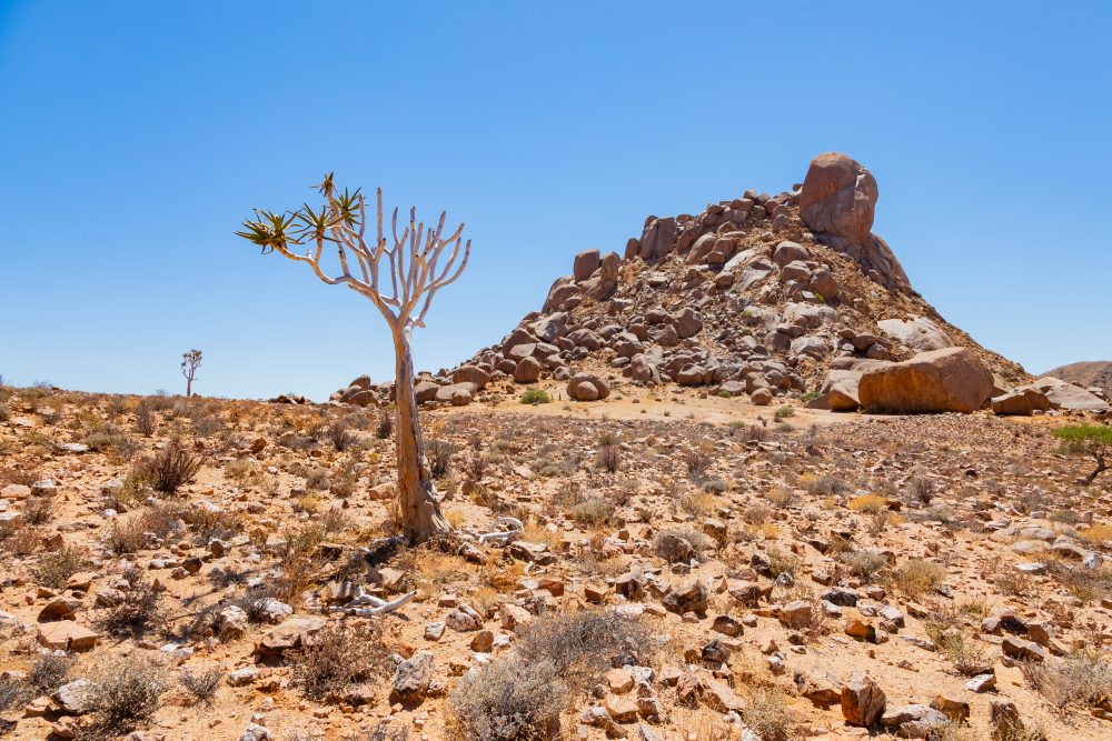
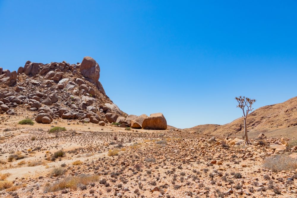
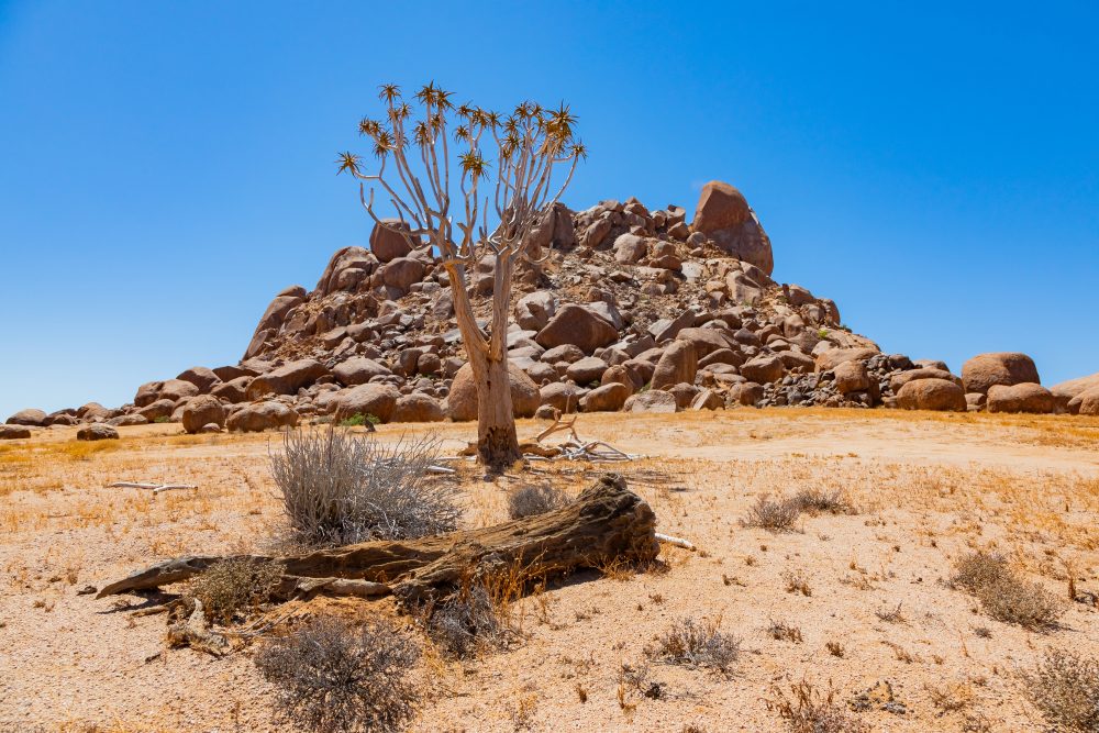
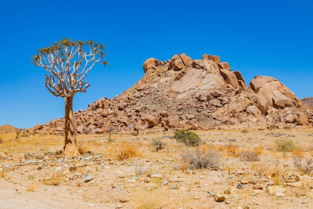
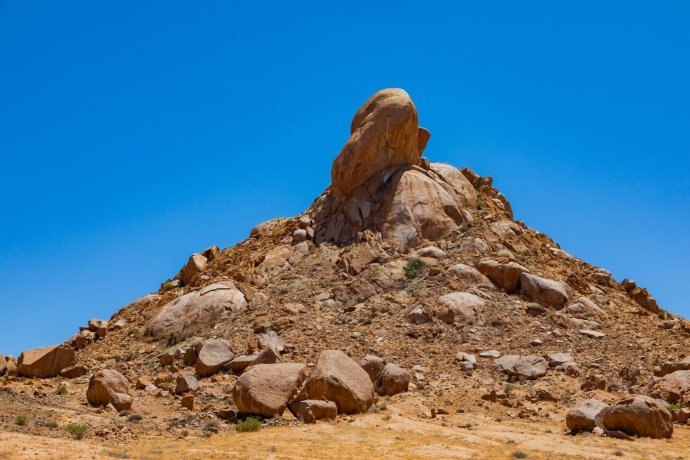
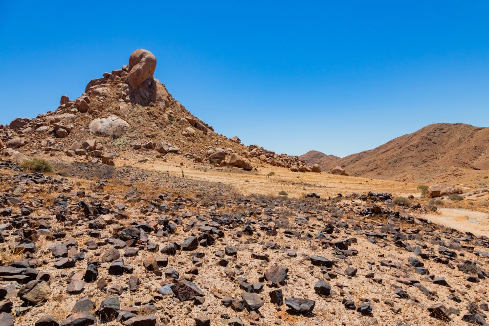
Located in the mountainous eastern portion of Richtersveld National Park, Die Toon refers to a little ‘kopje’ in the Tatasberg range, with a big boulder on its top, which resembles a toe. The ‘kopje’ has large boulders in the bottom, one of which offers a slight overhang – which has been used in the past as well as by tourists. The shallow deposit at the back of this overhang was excavated in June 1992 and found to have archaeological materials (Webley et al. 1993).
Archaeologists wanted to establish the extent to which this arid area was occupied in the past, especially evidence of early sheep/goat farming practices. The archaeological deposit was not extensive, indicating that the area was not regularly occupied, meaning that visits were infrequent. Scattered charcoal pieces were found from a large hollow in Unit 3. The radiocarbon date of 3110+60 BP (Pta-5963) seems to indicate that the hole was dug into older archaeological deposits, with Unit 3 being, therefore, about 600 years younger than Unit 2 (Webley et al. 1993). Other archaeological materials found include lithics and two potsherds, decorated ostricth eggshell and beads, fragments of marine shells, and fauna (blesbok and klipspringer). In addition, there were quartz crystals, some of which were flaked. These were locally sourced, around the slopes of Die Toon. While they might have been collected as a source of raw materials to make lithics, they could also have held a ritual significance (Wadley 1986).
Evidence for limited human occupation is not surprising. The same conclusions were reached in archaeological investigations from southern Namibia, an area ecologically similar to the Richtersveld (Webley 1992). This location was also found to have been sparsely occupied between 5100 BP and 2300 BP (Vogel & Visser 1981).
GPS Waypoints: 28°18'46.4"S 17°17'01.9"E