Zuurberg Pass
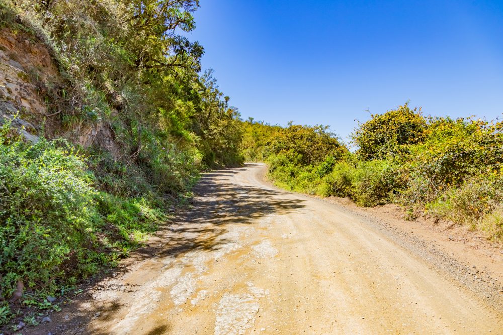
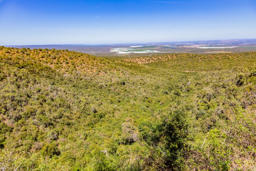
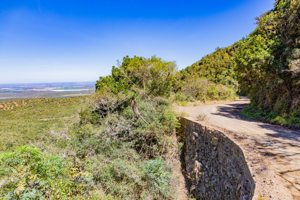
Zuurberg Pass traverses through a landscape of steep ridges and deep valleys shaped by dense thicket vegetation, patches of grassland, and Afromontane Forest along the Zuurberg mountain range. It forms part of the scenic northern boundary of the Addo region. The surrounding environment supports rich biodiversity, including species characteristic of the Greater Addo ecosystem. The elevated position of the pass offers sweeping views of rolling hills and distant plains, making it both a strategic crossing and a visually striking landscape.
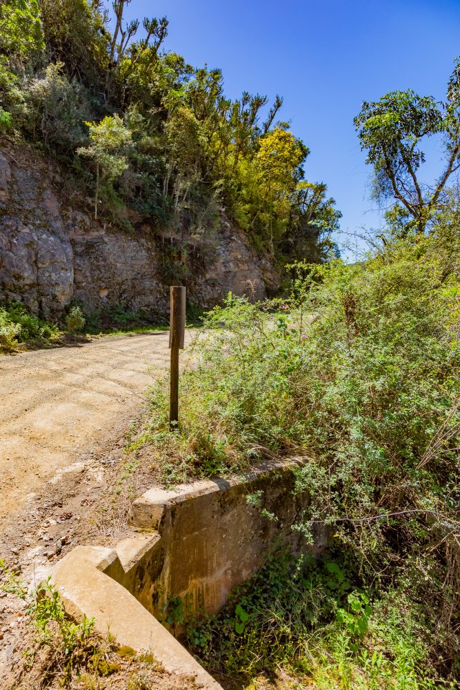
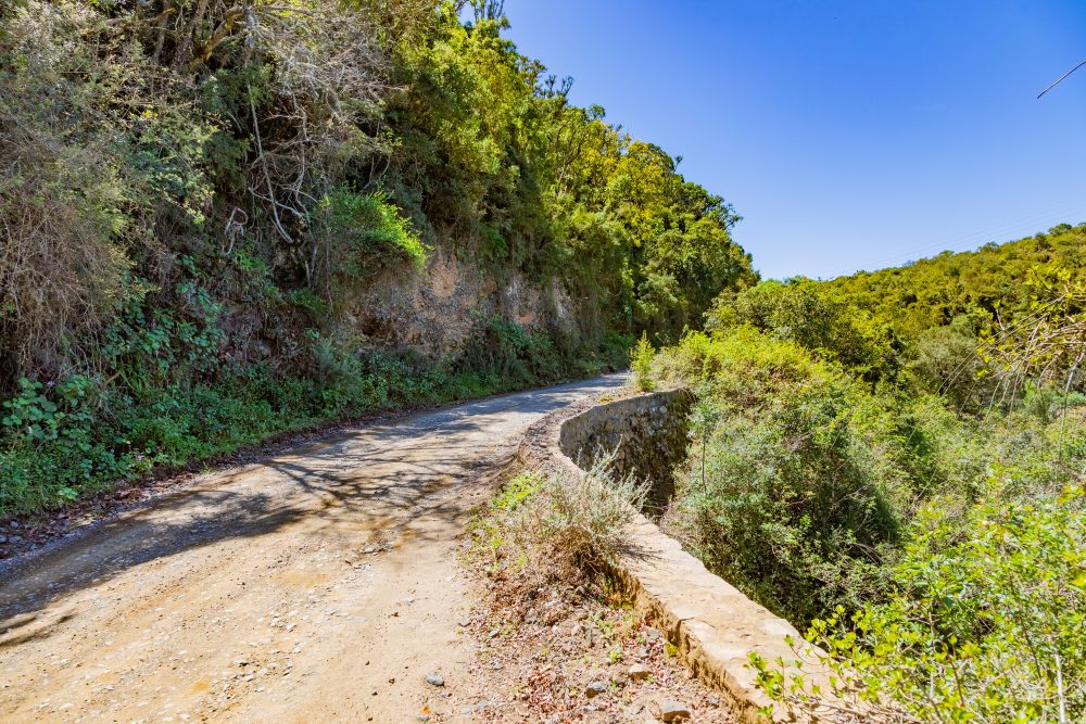
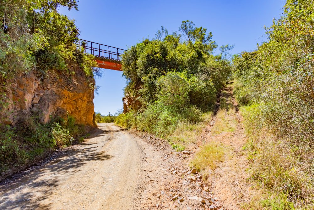
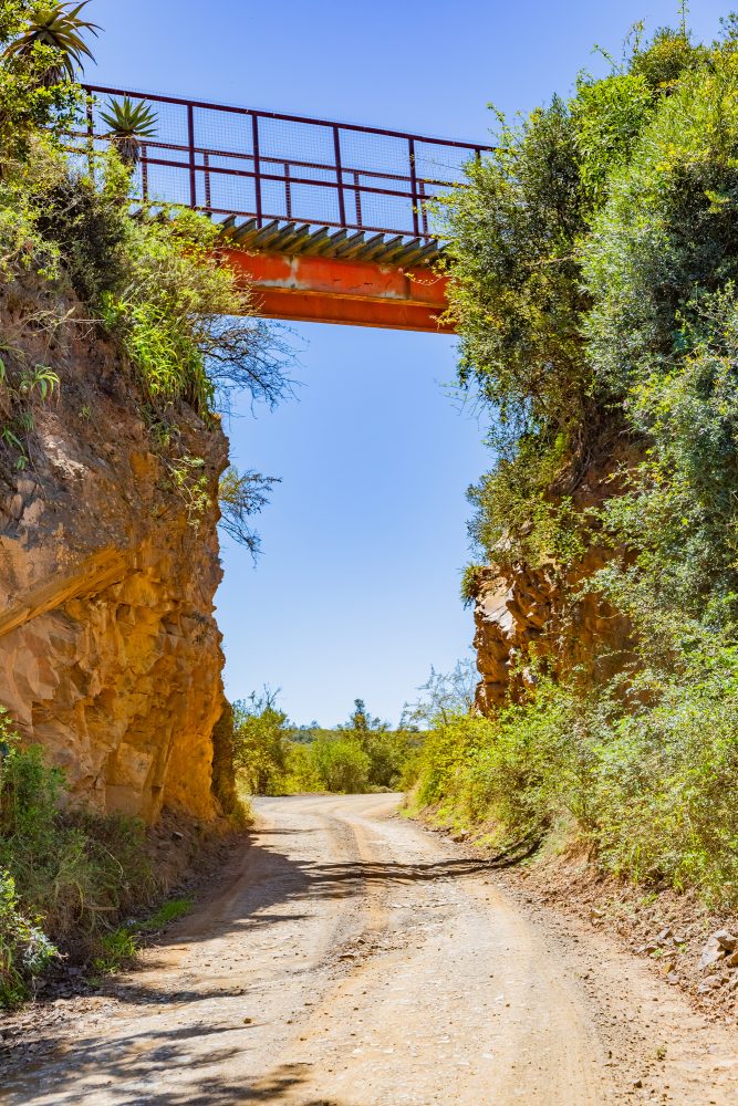
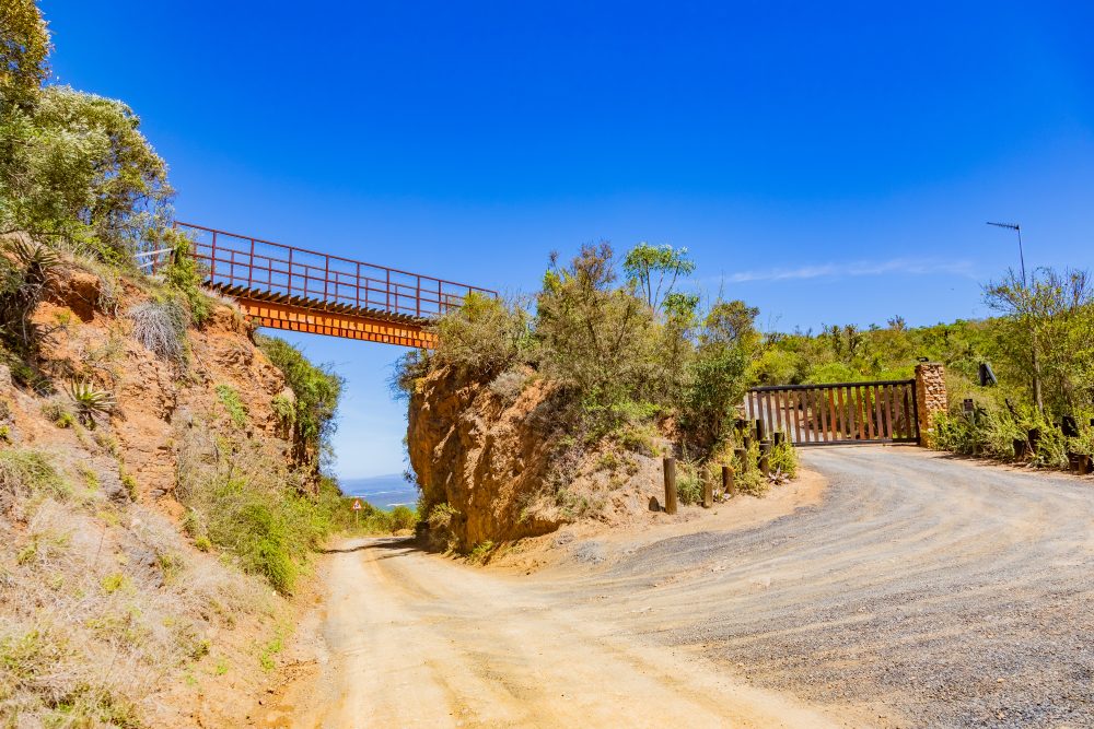
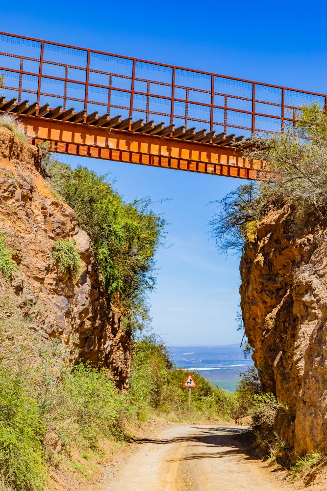
The Zuurberg range is composed primarily of folded sandstones and shales of the Cape Supergroup, giving rise to rugged terrain with resistant rocky ridges and steep escarpments. These geological formations dictated the alignment of the historic pass, forcing engineers to carve a road along narrow ledges, through cuttings, and around natural rock formations. The rocky outcrops and gradients presented significant engineering challenges in the 19th century, contributing to both the technical ambition and the lasting durability of the pass. The rugged geology also shaped the movement of people, livestock, and trade long before formal road construction began.
Zuurberg Pass is culturally and historically significant as one of the Eastern Cape’s earliest and most ambitious colonial road building projects. Construction began in 1849 under the supervision of the renowned road engineer, Henry Fancourt White. Like other mountain passes that were built during colonial era, such as the Wildeperdehoek Pass and Messelpad Pass in Namaqua, Henry Fancourt White relied on convict labour. This is a practice that reflects the social and political realities of the colonial Cape. The pass, completed in 1858, became a vital transportation artery linking Gqeberha to the interior, including the Kimberley diamond fields and later the Witwatersrand gold region. For more than a century, it served as a lifeline for travellers, mail coaches, traders, and agricultural producers.
The historical significance of the pass extends beyond engineering achievement. It stands as a physical reminder of the colonial expansion into the interior, the forced labour system that enabled such development, and the profound reshaping of indigenous lifeways. Communities living in and around the Zuurberg particularly Khoi, San, and amaXhosa experienced major disruptions to their traditional migration routes, land for grazing, and settlement patterns when colonial management tightened its grip on the landscape.
As both a heritage landmark and a testament to resilience of landscapes, communities, and engineering capabilities, the pass remains a powerful symbol of the region’s layered colonial and precolonial histories.
GPS Waypoints: 33°22'47.1"S 25°42'56.0"E