Melkhoutboom Cave
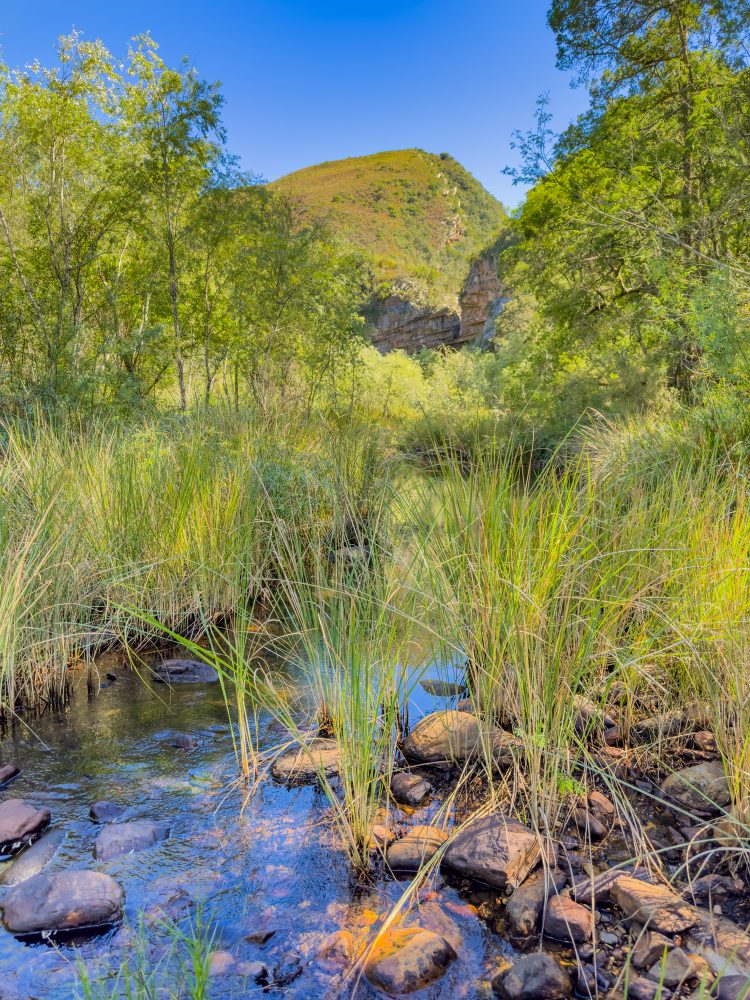
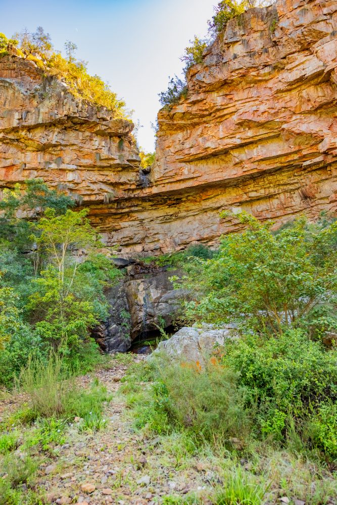
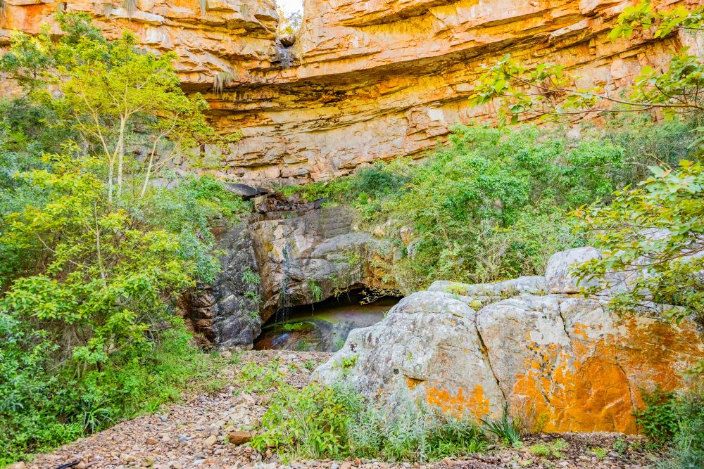
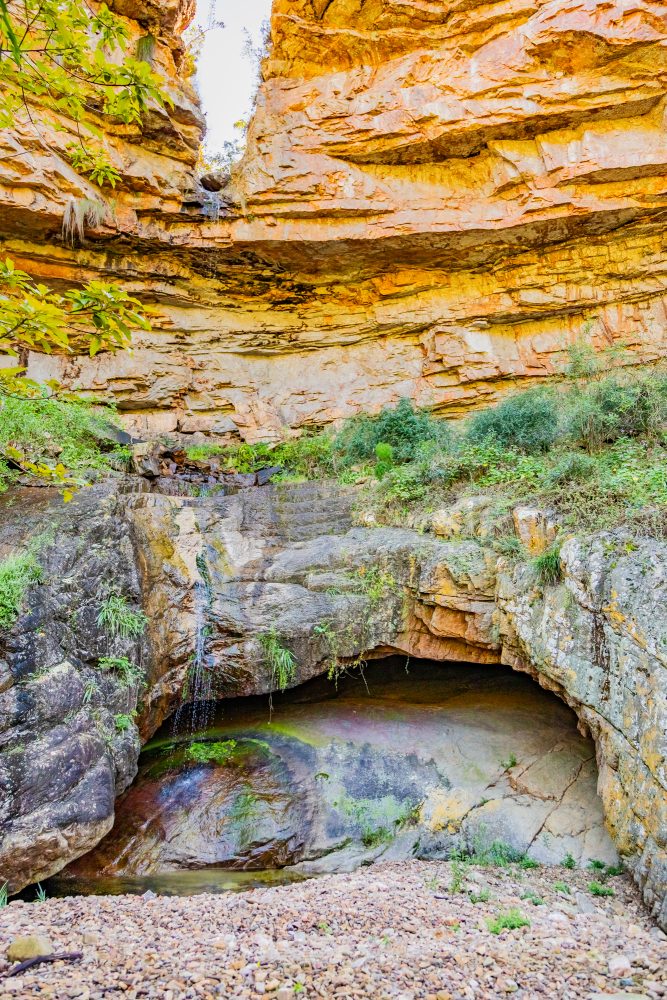
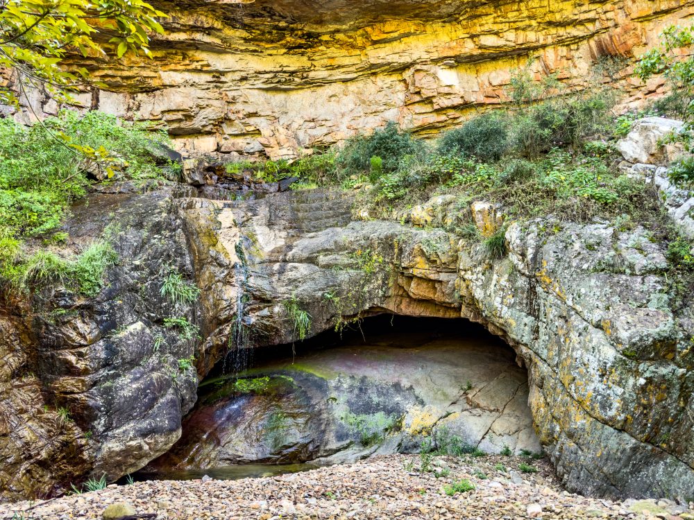
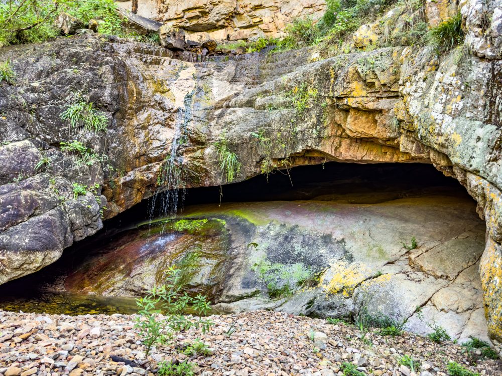
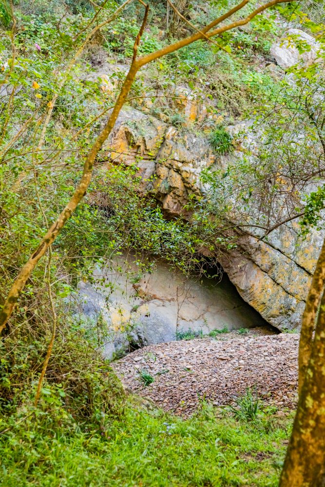
Melkhoutboom Cave is found in the Zuurberg Mountains, a rugged landscape marked by steep slopes, dense thickets, and patches of grassland. The cave is nestled within a sheltered rock overhang. The environment surrounding the cave is characterised by Afromontane vegetation, seasonal water sources, flora and fauna – which would have made the area to be highly suitable for repeated human occupation throughout history. Melkhoutboom Cave is one of the most important Late Stone Age archaeological sites in the Eastern Cape, offering a window into the lives of the region’s early hunter-gatherer communities.
Excavations have uncovered a rich sequence of cultural material, including stone tools, bone tools, plant remains, and evidence of hearths, revealing how people adapted to changing environmental conditions over thousands of years. Furthermore, the site provides insight into subsistence strategies, social organisation, and symbolic practices. Plant remains discovered at the site suggest a sophisticated knowledge regarding the harvesting and processing of wild plant. Findings have been critical in shaping our understanding of early forager lifeways, showing that the inhabitants of Melkhoutboom made extensive use of plant foods alongside hunting. The Melkhoutboom Cave is a scientific treasure and a cultural heritage landmark, preserving the memory of those who lived in the Zuurberg Mountains thousands of years ago.
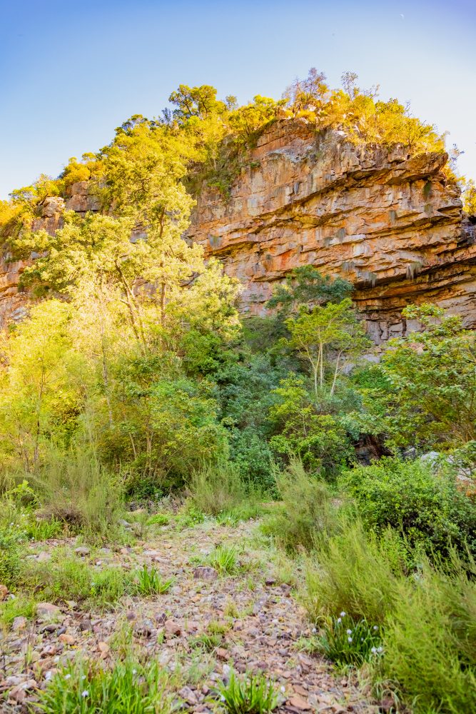
The Zuurberg range is composed primarily of sandstones from the Cape Supergroup, which weather to form protective overhangs and caves such as Melkhoutboom. The geology provides naturally stable shelters with dry, well drained floors that preserve archaeological deposits exceptionally well. Layers of accumulated sediment within the cave have safeguarded stone tools, charred plant remains, and other traces of human activity. The surrounding ridgelines and valleys would also have offered reliable access to raw materials such as stone for toolmaking, as well as pathways for seasonal movement.
GPS Waypoints: 33°19'49.6"S 25°40'38.3"E