Kwaaihoek Cross and East Indiaman Doddington Shipwreck
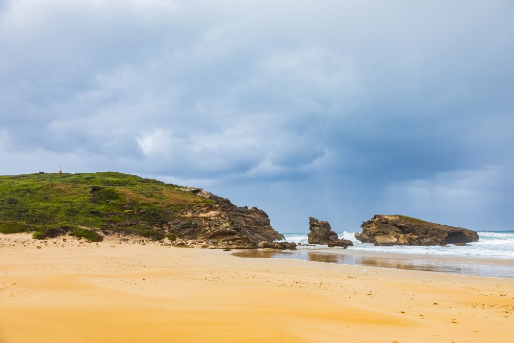
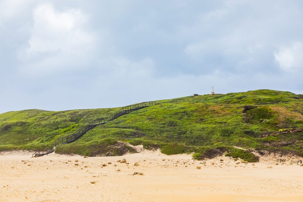
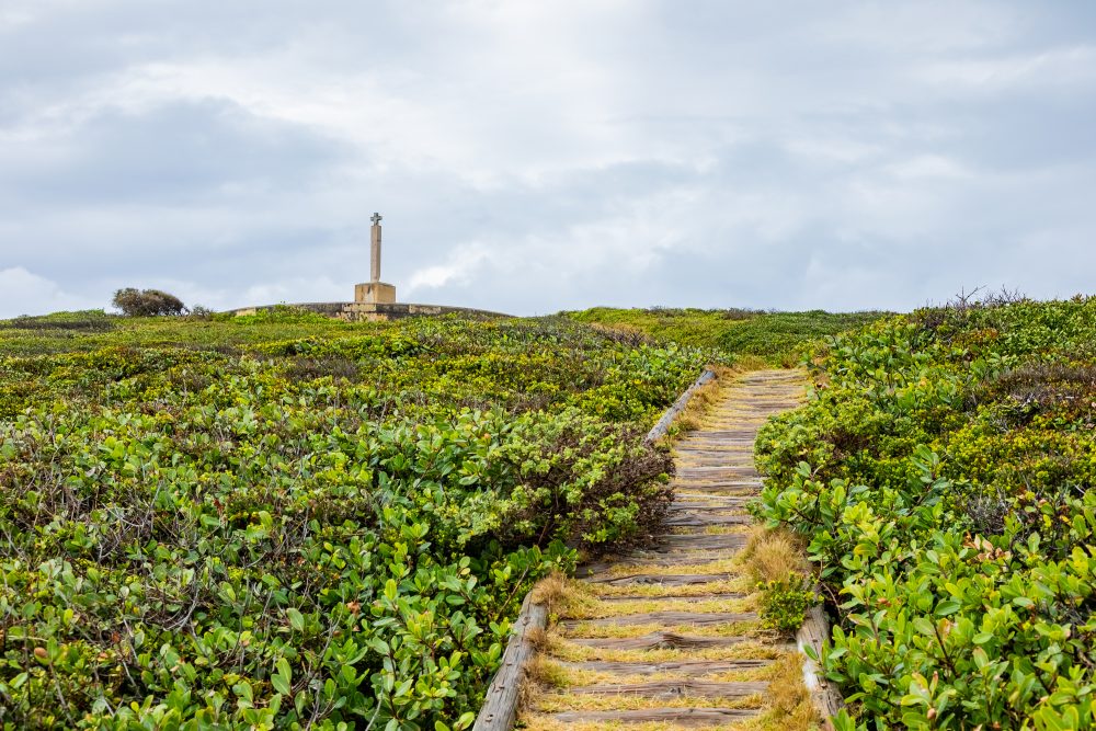
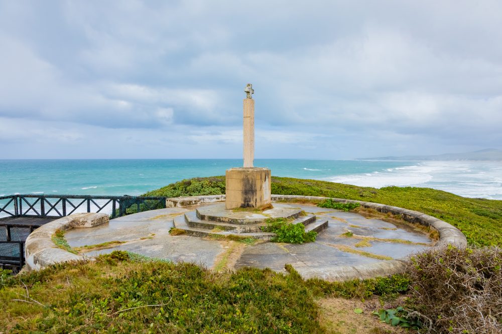
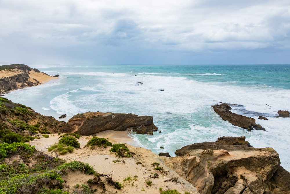
Kwaaihoek is a rugged rocky headland situated along the southeastern coast of Algoa Bay. Exposed to strong coastal winds and powerful waves, the landscape is shaped by intertidal rock platforms, sandy stretches, and pockets of coastal dune vegetation. Its elevated rocky outcrop offers expansive views of the Indian Ocean and nearby offshore islands, including Bird Island. This dramatic setting forms part of the wider coastal ecosystem of the Addo Marine Protected Area, rich in marine life, seabird colonies, and historically important navigation routes. The geology of Kwaaihoek consists primarily of ancient sedimentary rocks that have been shaped by marine erosion and long-term shoreline processes. The rocky headland’s durability made it a prominent and reliable landmark for early seafarers navigating the often treacherous waters of the coastline. Tidal action, wave dynamics, and windblown sands continue to sculpt the coastline, periodically exposing or obscuring archaeological deposits. This interplay of land and sea made Kwaaihoek a natural focal point for both maritime activity and human settlement over centuries.
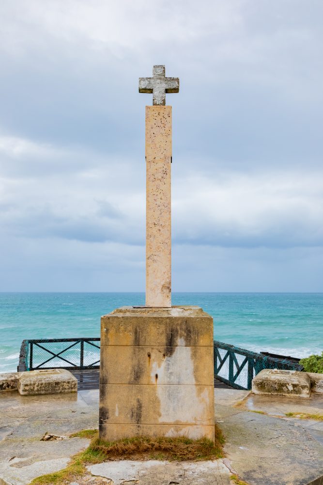
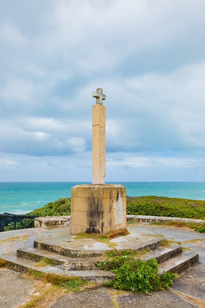
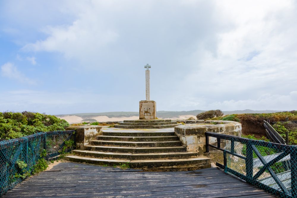
The area holds exceptional cultural and historical significance, standing at the crossroads of indigenous heritage, early European exploration, and dramatic maritime events. The shoreline was previously traversed and inhabited by Khoi and San communities who harvested marine resources while maintaining spiritual relationships with the sea and landscape. The site is best known as the location where the Portuguese navigator, Bartolomeu Dias, erected the Padrão de São Gregório in 1488, a cross stone marking one of the earliest recorded European contacts with the South African coastline. This act symbolised Portugal’s growing maritime reach during the Age of Discovery and marked Kwaaihoek as a reference point on global sea routes linking Europe, Africa, and the East. While the original Padrão de São Gregório is now curated in a University of the Witwatersrand museum, its original placement at Kwaaihoek remains a powerful reminder of the region’s role in early global navigation and cross-cultural encounters. It was previously declared as a National Monument under the National Monuments Act of 1969.
Additionally, Kwaaihoek is also linked to a dramatic chapter in maritime history: the wreck of the East Indiaman Doddington in 1755. After the ship ran aground on nearby Bird Island, a small group of survivors endured seven months of isolation before ingeniously crafting a vessel that carried them to India. This story of resilience and survival has become an integral part of the cultural memory of Algoa Bay and highlights the dangers faced by sailors navigating the South African coast during the age of sailing.
The presence of indigenous and colonial materials presents Kwaaihoek as a heritage landscape where an intersection of indigenous histories and early colonial encounters come together. Its rocky headland serves not only as a physical landmark but also as a symbolic one, connecting stories of exploration, hardship, cultural contact, and human endurance across centuries.
GPS Waypoints: 33°43'6.04"S 26°37'26.62"E