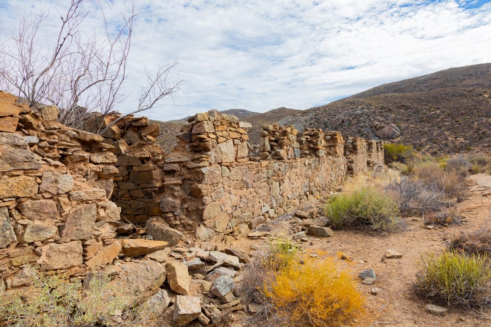
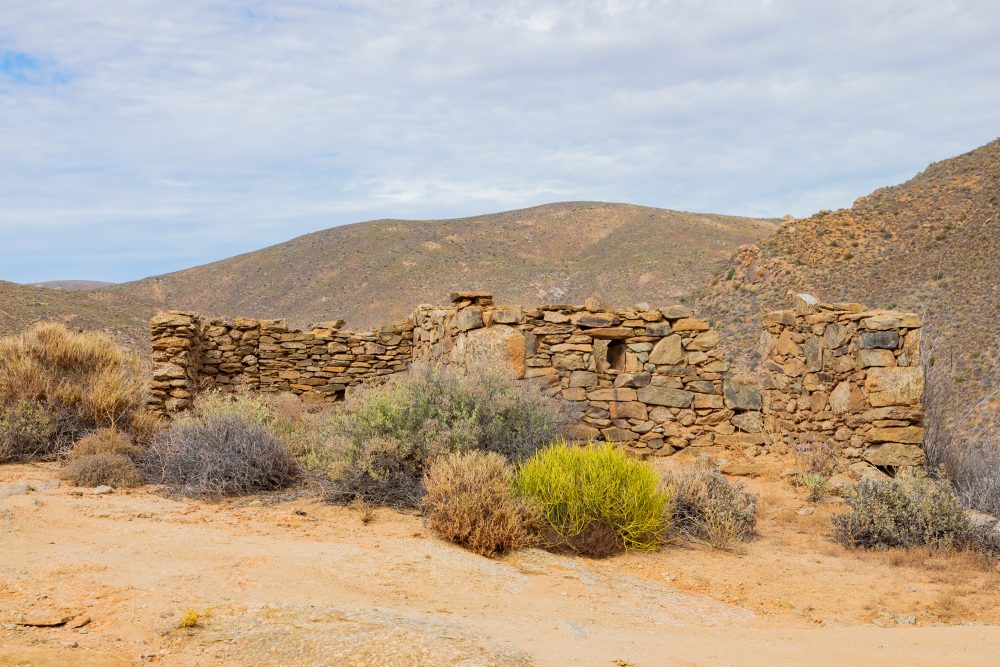
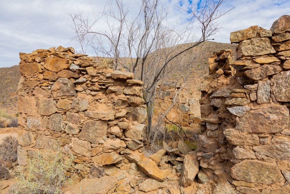
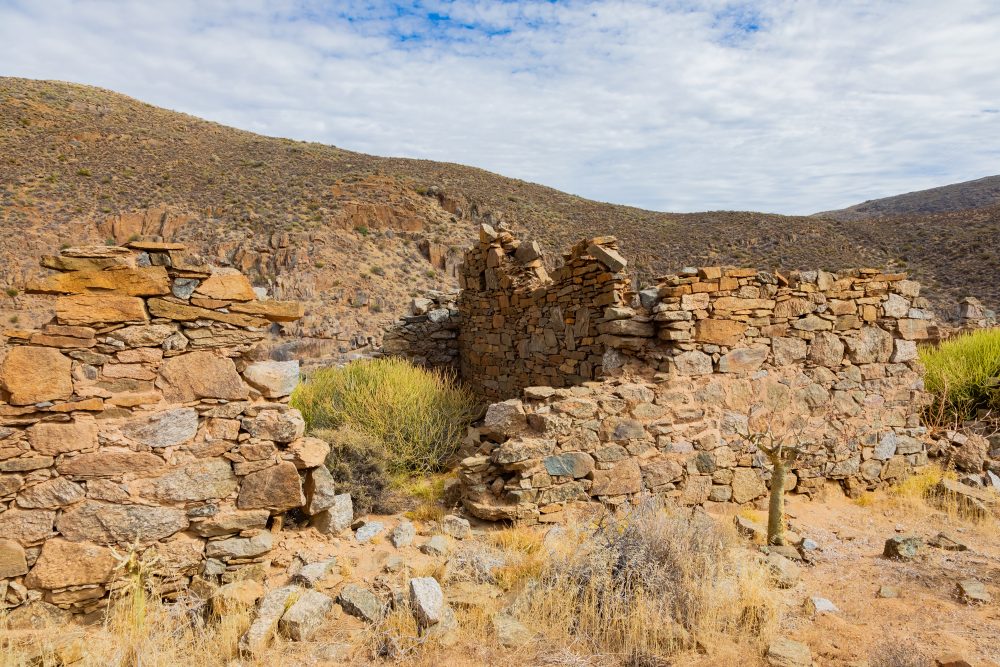
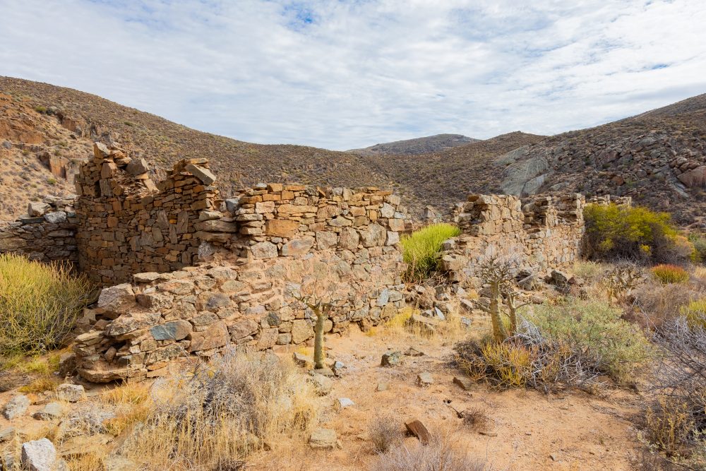
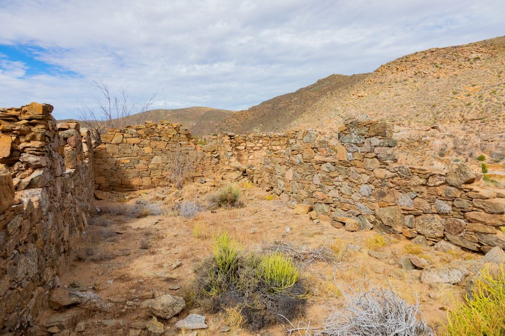
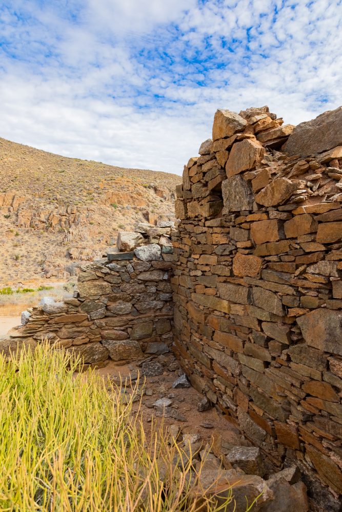
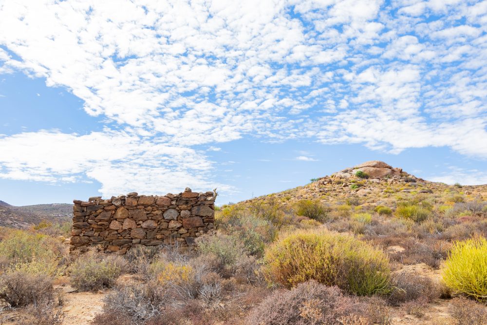
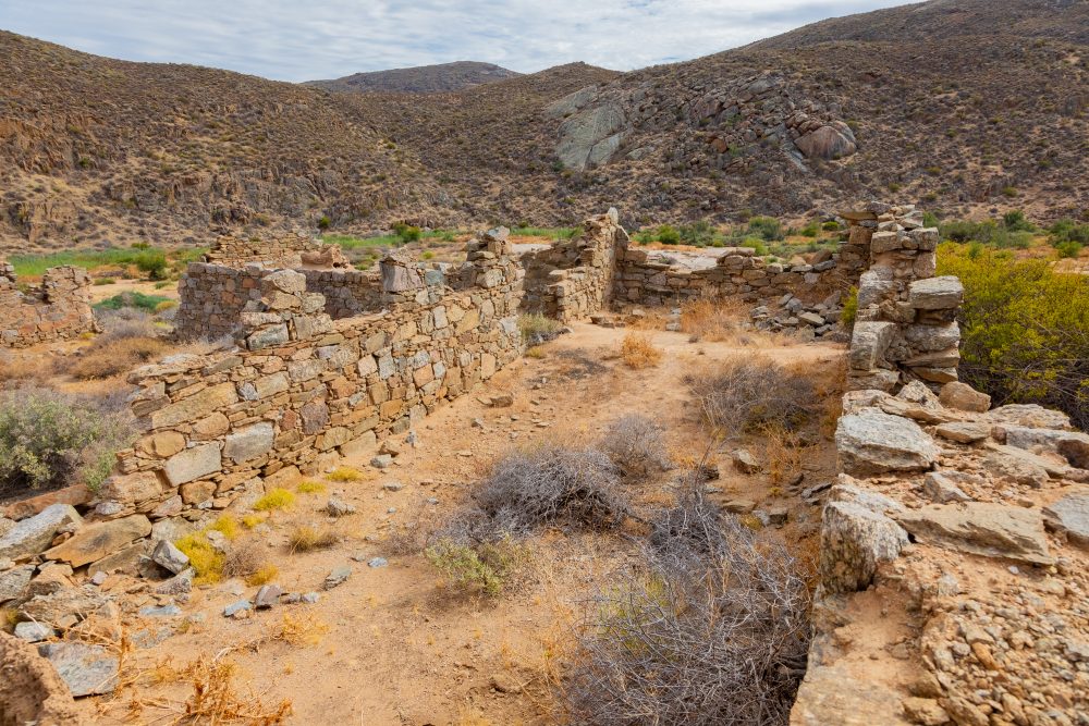
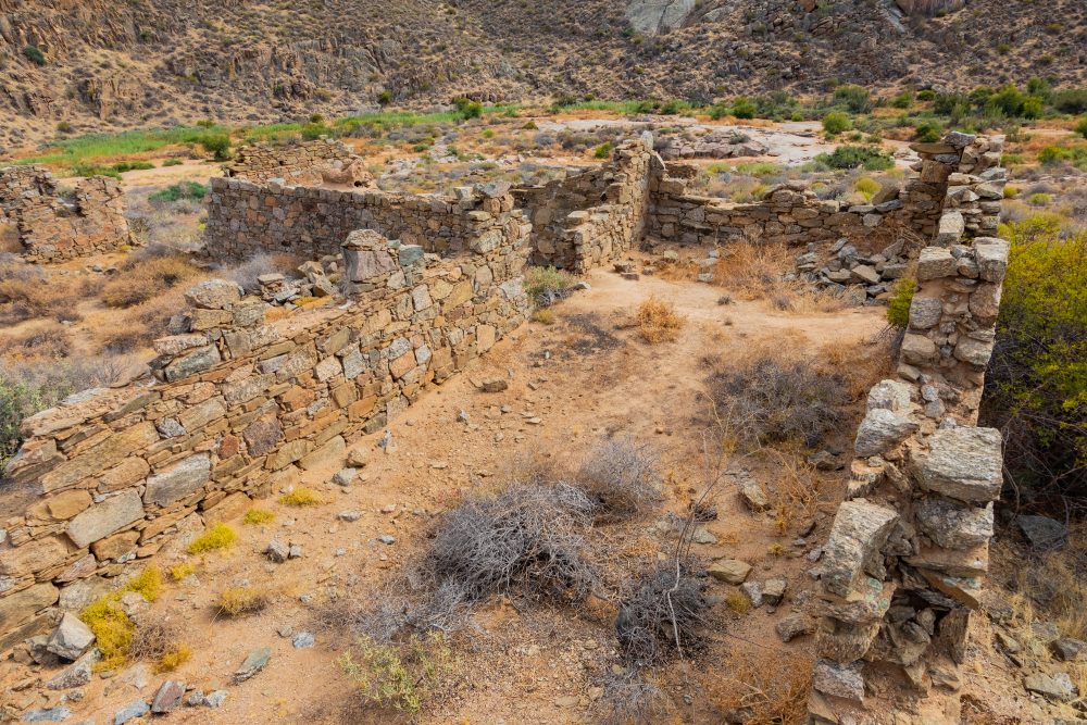
Wildeperdhoek Pass Prison Ruins

The Wildeperdehoek Pass, previously named in Dutch as Wildepaardehoek, is now commonly known by an Afrikaans version of the name, which translates to ‘wild horses corner’. The road engineer when this pass was constructed between 6 February 1867 and 1869 was Patrick Fletcher. The same engineer is credited with having been responsible for the Messelpad Pass (which means masonry in Afrikaans because of the dressed stone embarkments supporting the road on descent through the Buffels River valley) found within the Namaqua National Park, along the road that travels between Springbok and Hondeklipbaai. Both these two mountain passes form part of the ‘Copper Route’ that runs between Springbok and Hondeklip Bay and are thus geographically linked, meaning they can be driven as one.
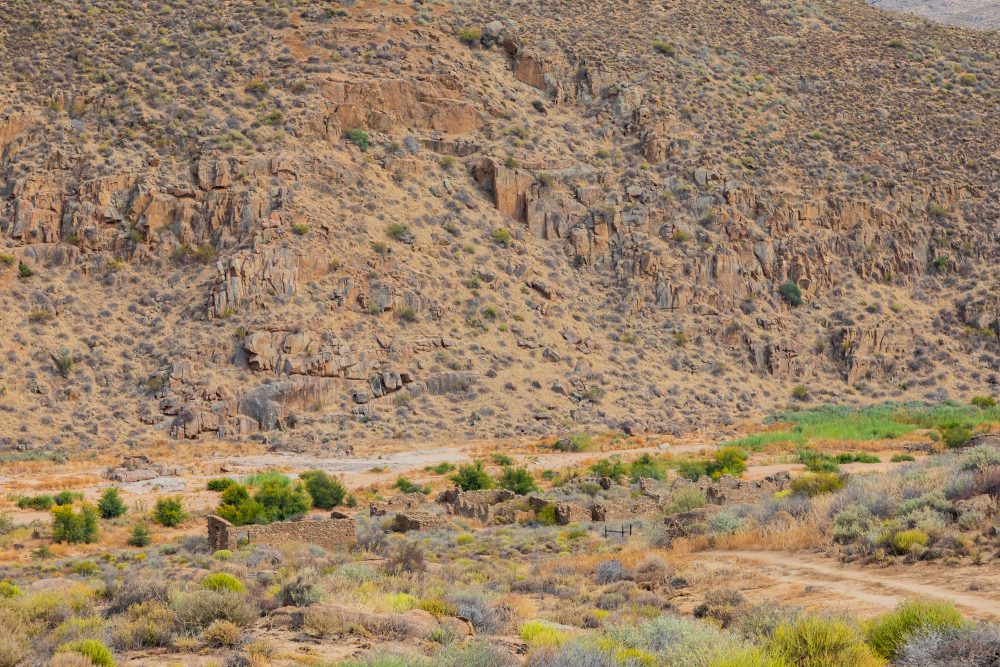
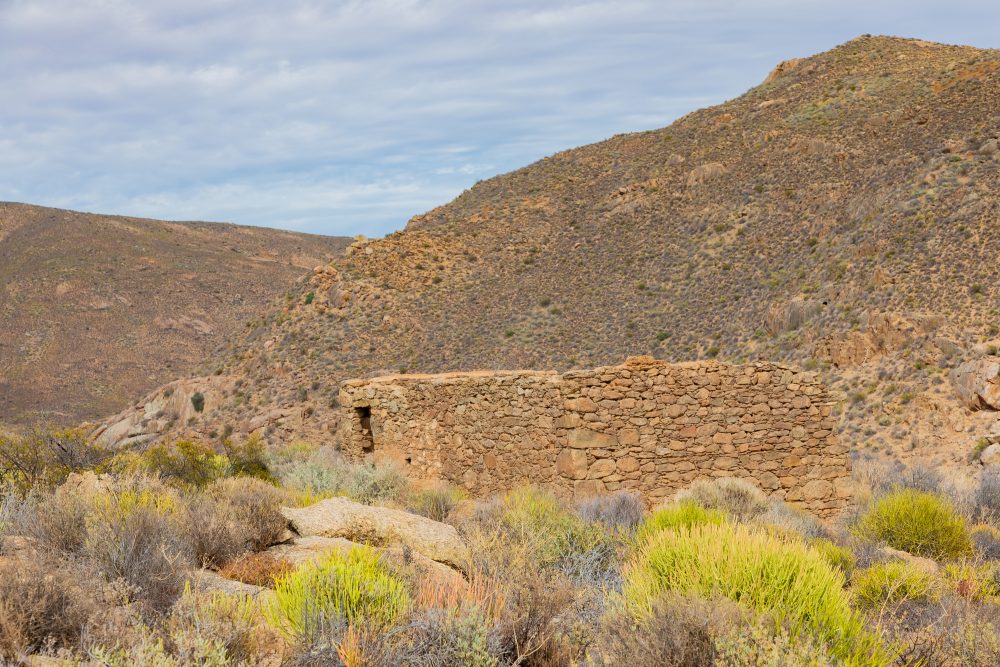
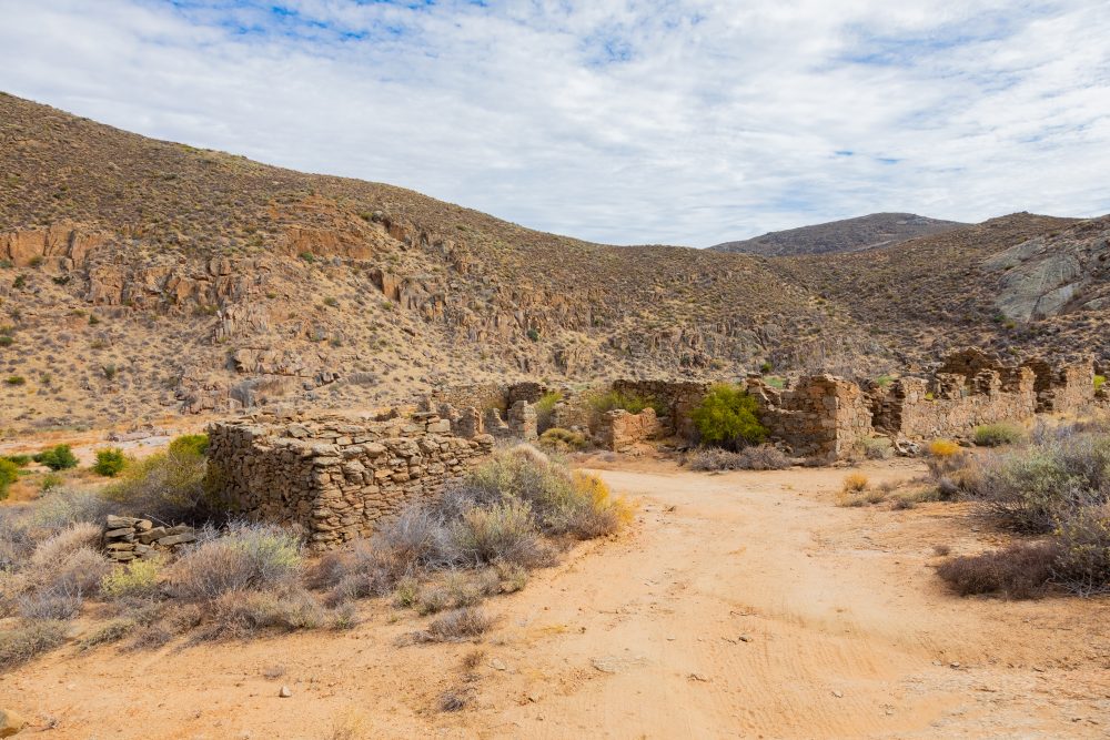
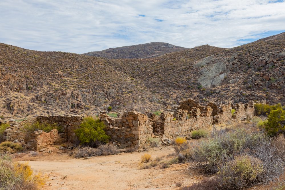
Patrick Fletcher relied on the services of convicts to provide labour for both passes, which is why some have referred to the Wildeperdehoek Pass as Bandietpas in Afrikaans, which translates into Convict’s Pass. These prisoners, who at the time of the construction were stationed at the base of the Buffels River valley, came from Cape Town. They were brought by ship that came from Cape Town to Hondeklipbaai, from where they walked on foot to the convict station. This ‘prison’ now only exists in terms of the ruins that are still left behind, over 120 years later. At the point of its construction, the economic significance of the pass was with regards to the road being used for the transportation of copper, from Springbok to the harbour at Hondeklipbaai. This is a relatively short pass, that is not more than 5 km long, and attracts tourists during spring, when the flowers are in bloom.
It is now completely found within the Namaqua National Park. When reaching the summit of Wildeperdehoek Pass, one is presented with incredible views over the Namaqua National Park. On descent, one can have a broader appreciation of the coast, with grassland taking over the description of the landscape towards the valley, at the bottom of the pass. This is one of the few grassy areas in the arid, dry Northern Cape known as the Namaqua flatlands.
GPS Waypoints: 29°53'52.5"S 17°39'40.0"E