Wildeperdehoek Pass
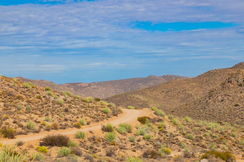
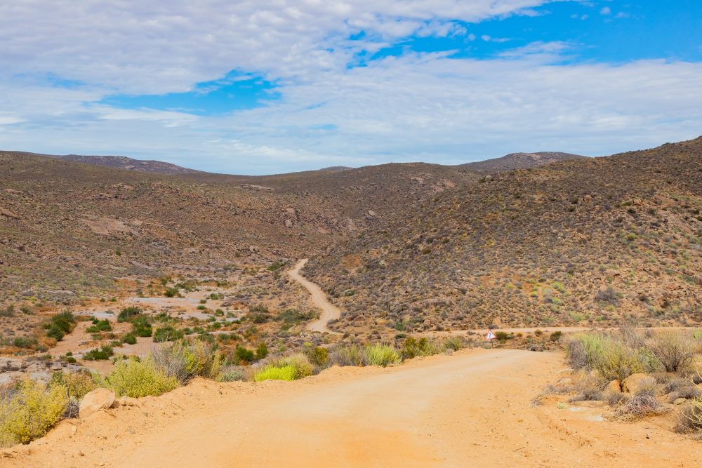
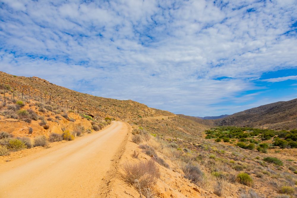
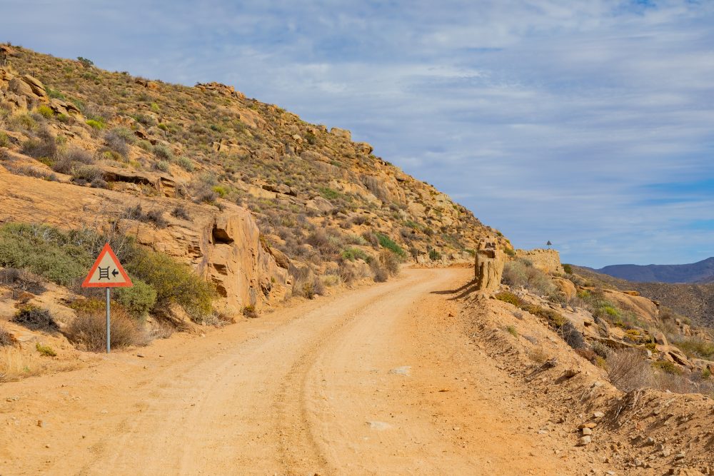
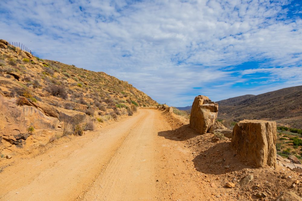
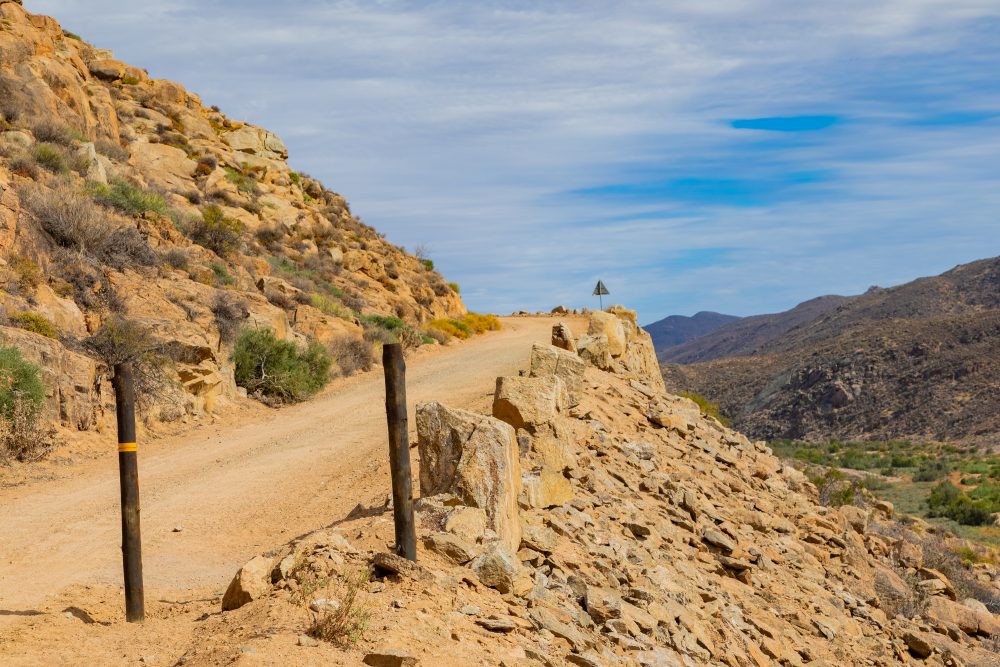
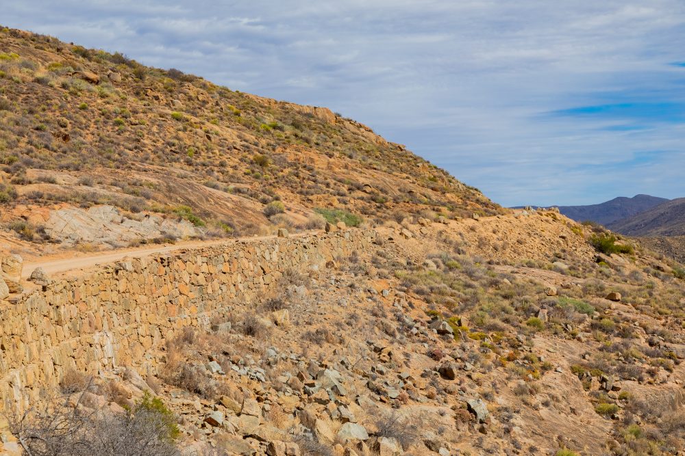
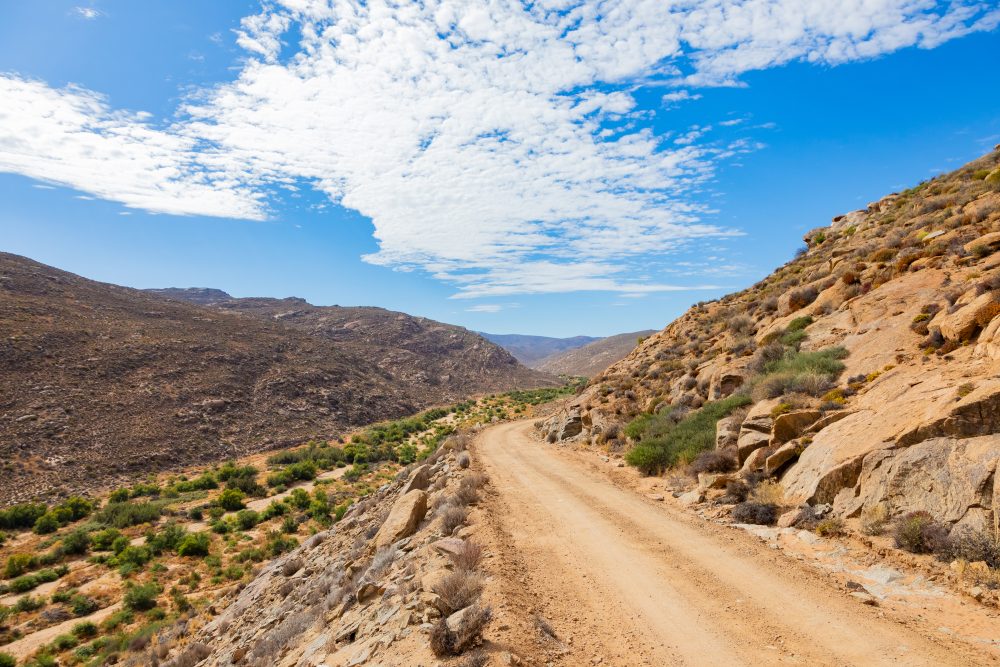
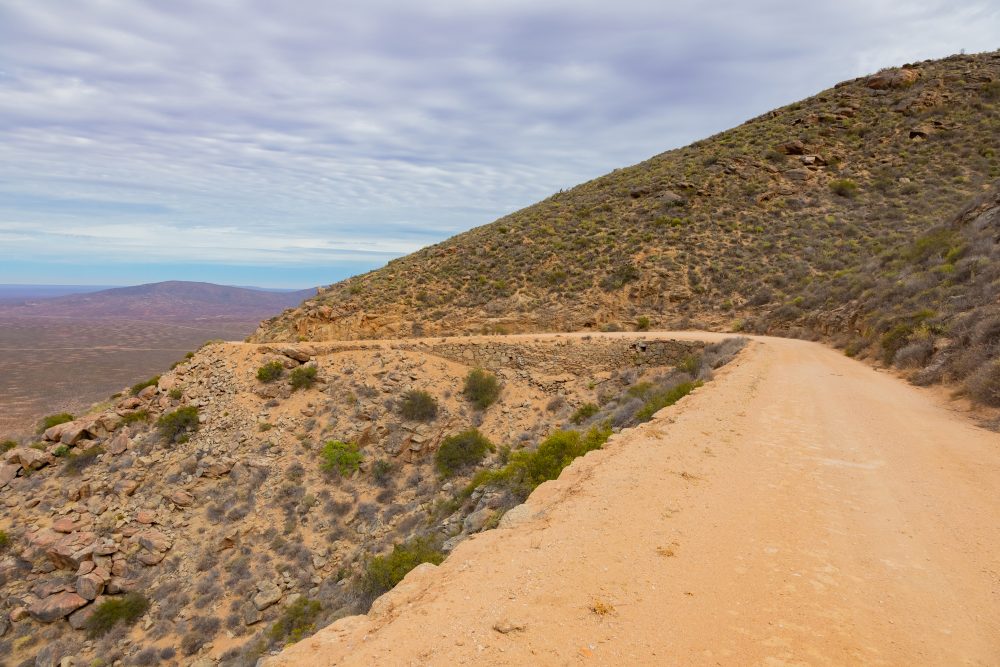
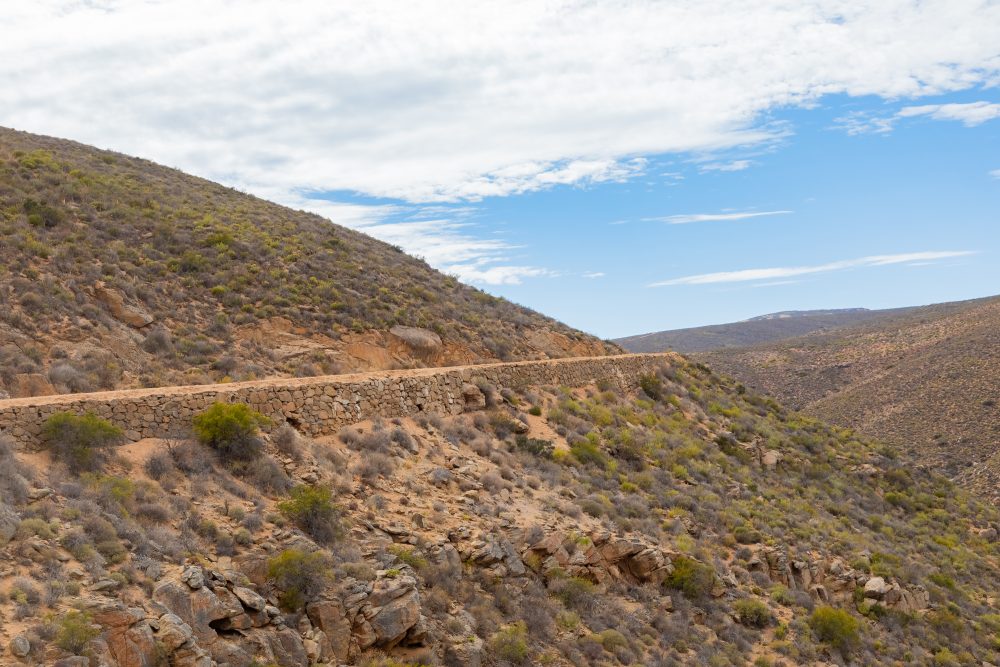
Wildeperdehoek pass was constructed in the late 1800s to facilitate the transport of copper ore from the mining centre of Springbok to the port at Hondeklip Bay. The pass traverses ancient, mineral rich rock formations that are part of Namaqualand’s renowned copper bearing geology. These hard rock formations required significant manual excavation and stonework during the construction of the pass. The exposed rock faces and cuttings along the route clearly illustrate how the natural geology dictated the alignment, gradient, and engineering solutions used in the late 19th century. The pass played a crucial role in supporting the copper mining industry, which was central to the economic development of Namaqualand during the late 19th century. As an example of early road engineering, the pass reflects the ingenuity and labour-intensive construction methods of the period, likely involving hand-built stonework and the use of animal-drawn transport. The pass cuts through rugged highland terrain and has long served as a key link between the mineral rich interior and the Atlantic coast. Today, it stands as a tangible reminder of the region’s mining heritage and the historical relationship between industry, landscape, and infrastructure.
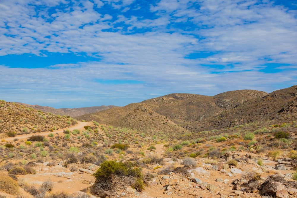
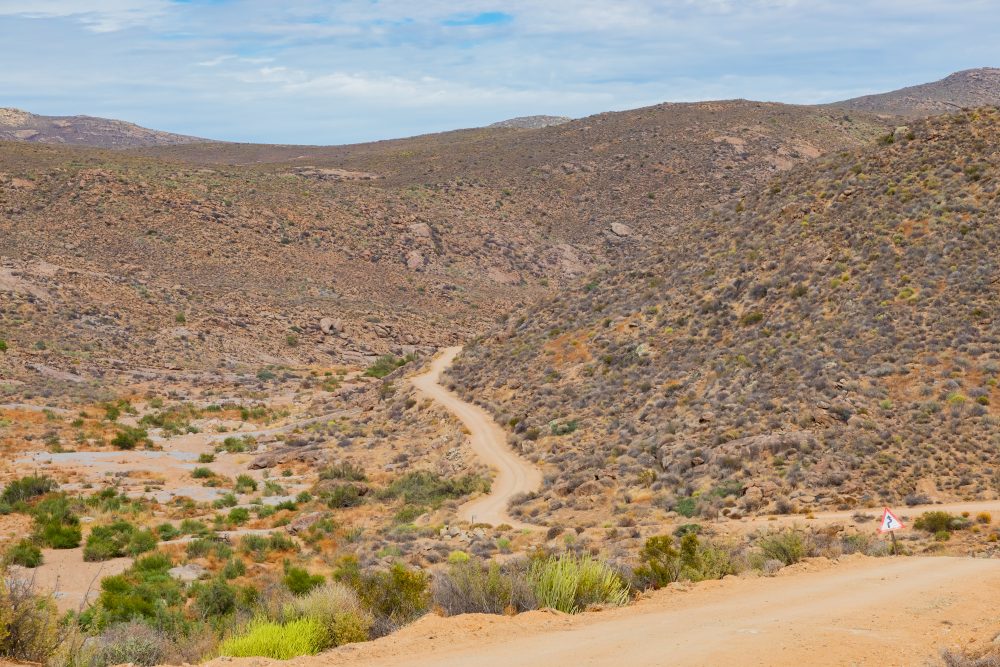
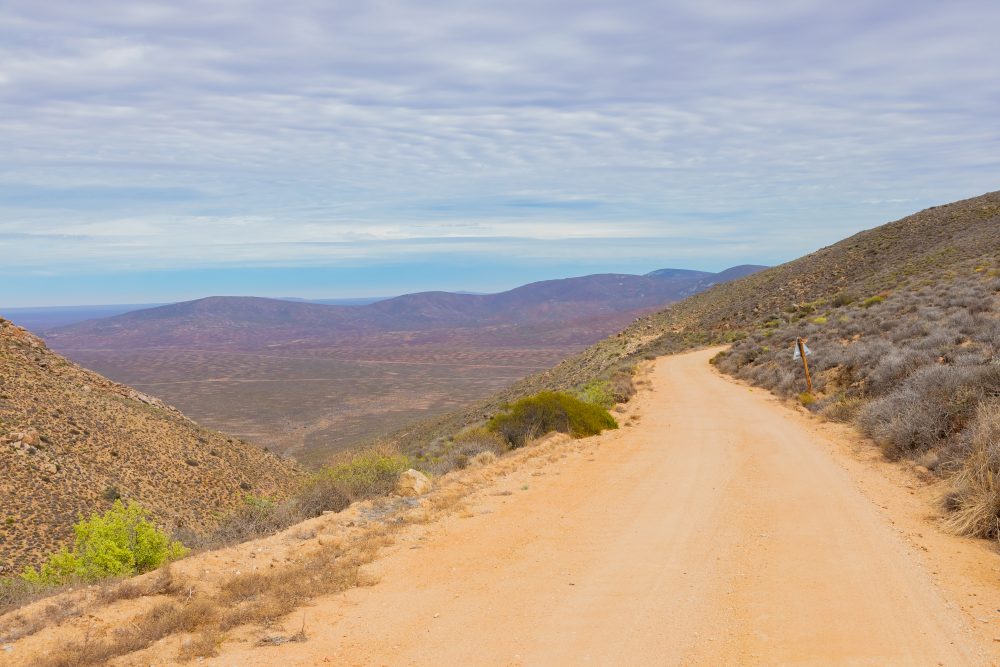
The pass lies within a semi-arid mountainous environment typical of Namaqualand, characterised by sparse vegetation, rocky slopes, and wide views across valleys and plains. Seasonal wildflowers transform the landscape during spring, while the elevated position of the pass provides panoramic vistas of the surrounding terrain. The harsh environmental conditions highlight the challenges faced by people of the time, who needed to come up with transport and engineering efforts in the region.
Wildeperdehoek pass is valued for its historical, engineering, and scenic significance. The route not only illustrates the technological responses to challenging terrain but also offers insight into the broader patterns of trade, resource extraction, and settlement that shaped Namaqualand’s cultural landscape.
GPS Waypoints: 29°54'17.8"S 17°39'59.4"E