Kookfontein Ruins
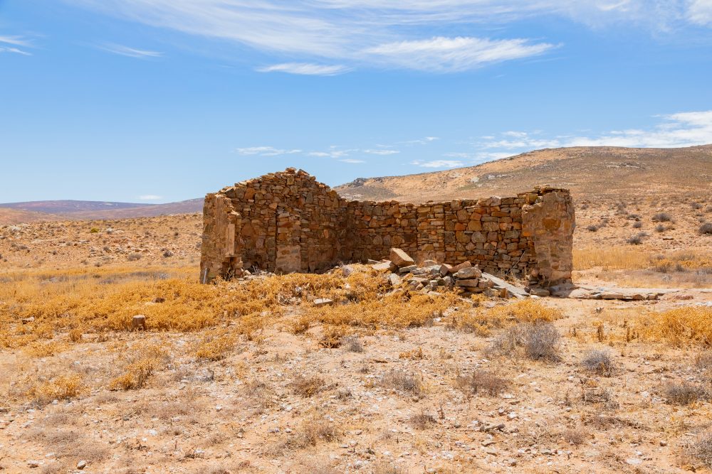

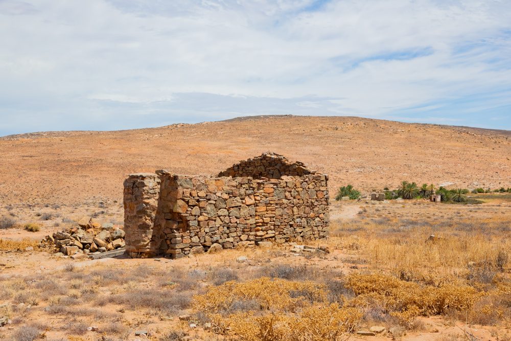

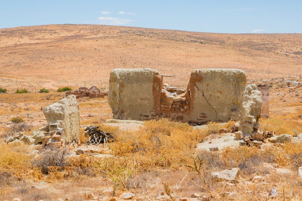
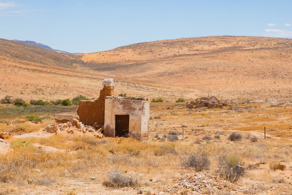
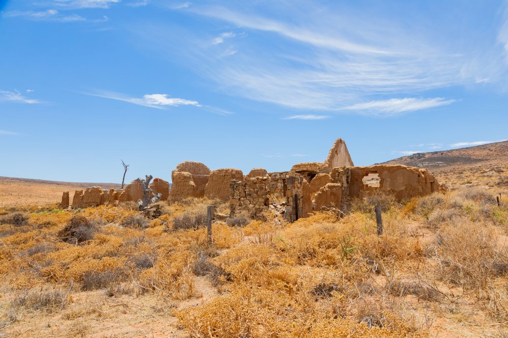
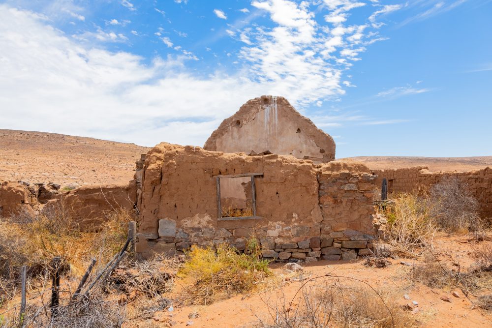
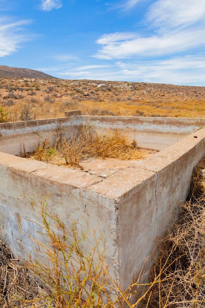
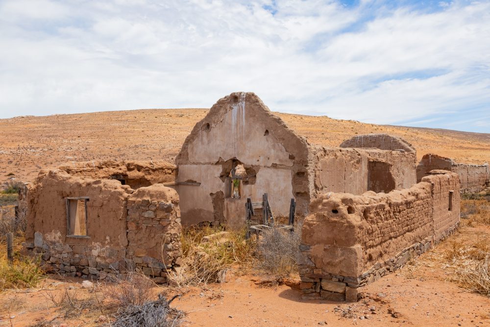
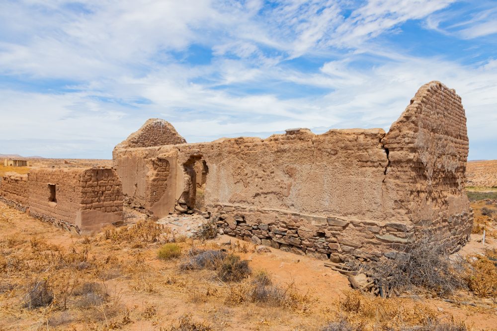
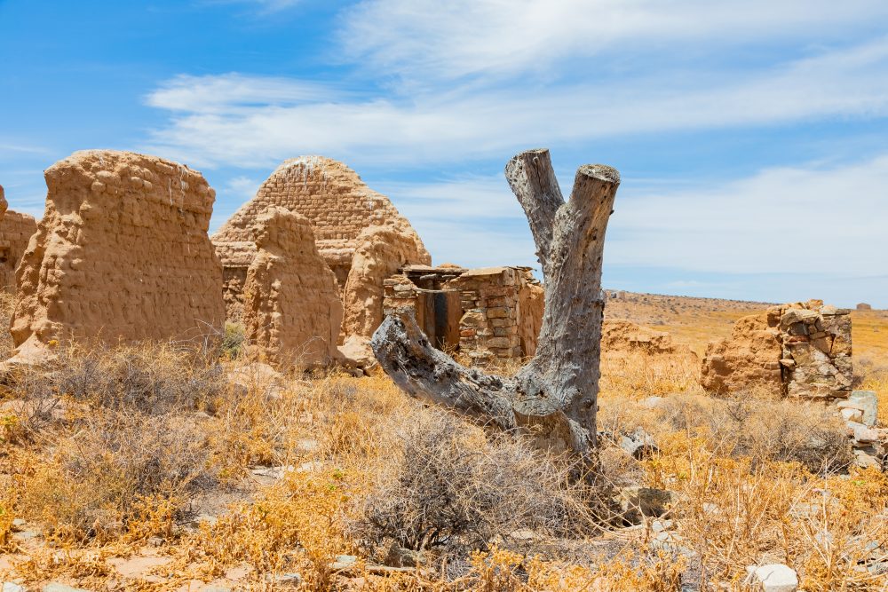
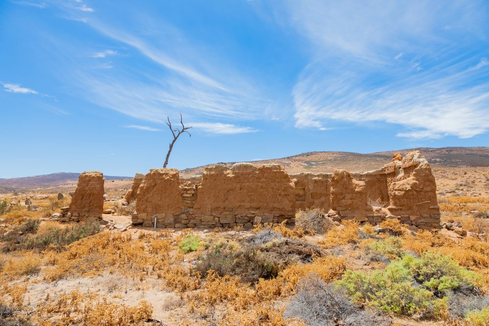
The Kookfontein ruins are located northeast of Namaqua National Park. The site occupies a remote landscape that has historically supported small and dispersed settlements linked to pastoralism, travel routes, and resource use. Although specific details regarding the origin, date, and function of the Kookfontein settlement remain limited, the ruins represent an important physical record of past human presence in the region. The site may relate to historic pastoral, agricultural, or early colonial activity, reflecting patterns of adaptation and survival in Namaqualand’s challenging environment. Even in the absence of extensive historical documentation, the site adds depth to the human narrative of Namaqualand. The Kookfontein ruins hold heritage value as a reminder of everyday life and settlement in a marginal environment. As part of the wider cultural landscape, the Kookfontein ruins contribute to an understanding of how successive communities utilised water sources, built their settlement, and moved around over time. Preserving Kookfontein ruins is important for maintaining the broader historical tapestry of the region and for encouraging further research into Namaqualand’s lesser-known historical landscapes.
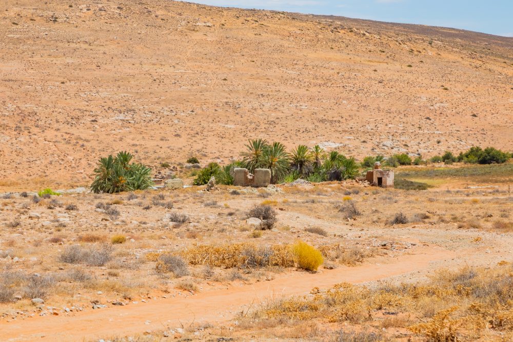
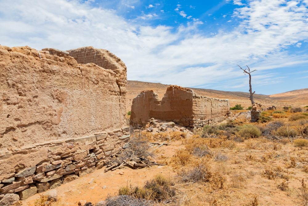
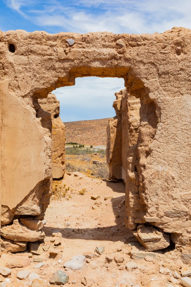
The ruins are set within a semi-arid Namaqualand environment characterised by open plains, rocky outcrops, and sparse vegetation adapted to low rainfall. Seasonal water sources such as fountains and drainage lines would have been critical to human occupation, influencing settlement placement and land use in this dry landscape.
The surrounding area is underlain by ancient, weathered rock formations typical of Namaqualand. Locally available stone was likely used in the construction of the settlement structures, reflecting a practical response to the environment and the use of readily accessible materials. The durability of these materials has contributed to the partial survival of the ruins despite prolonged exposure to the elements.
GPS Waypoints: 30°04'25.2"S 17°38'49.2"E