Gannaga Pass
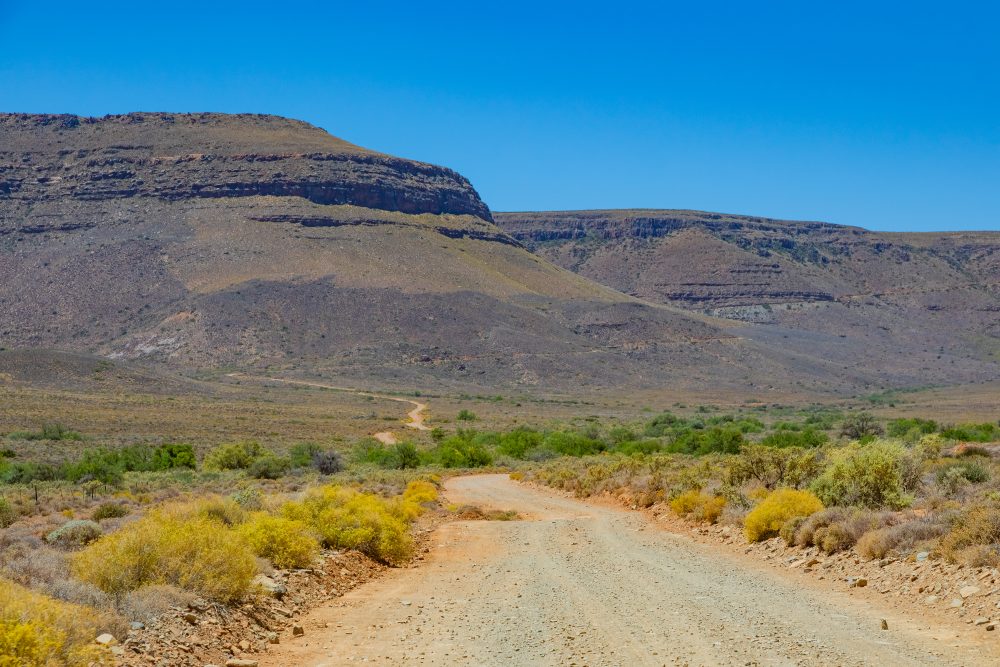
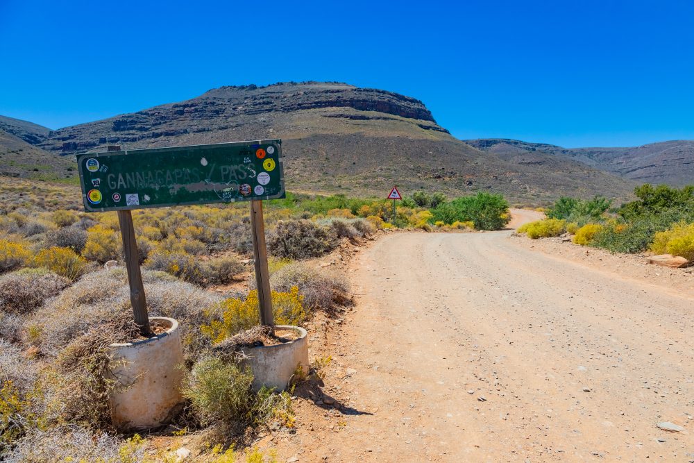
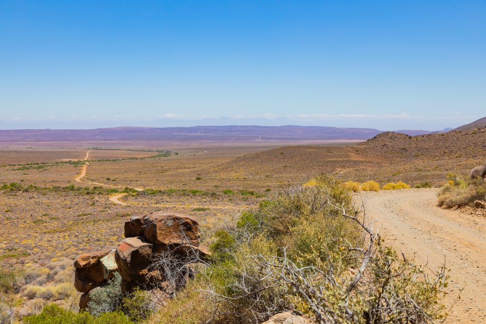
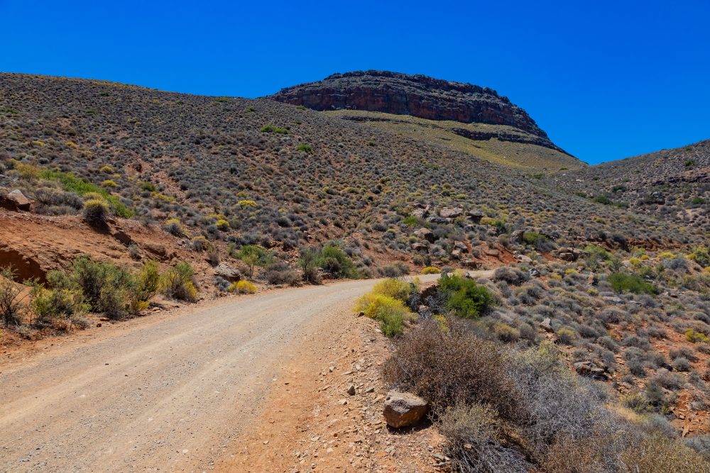
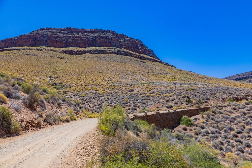
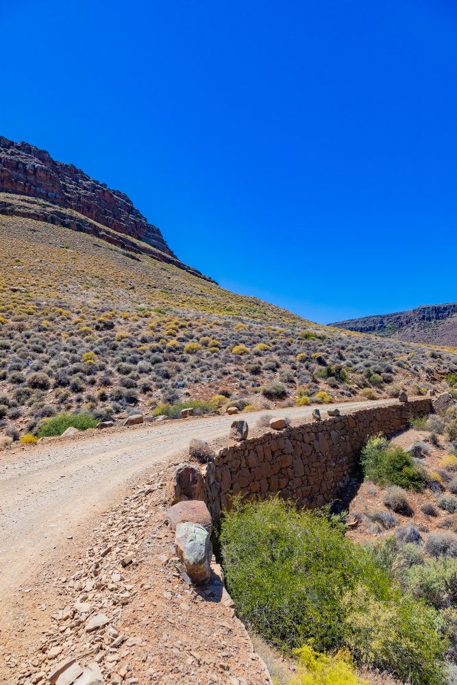
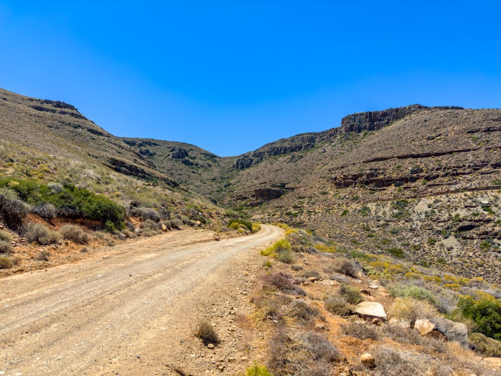
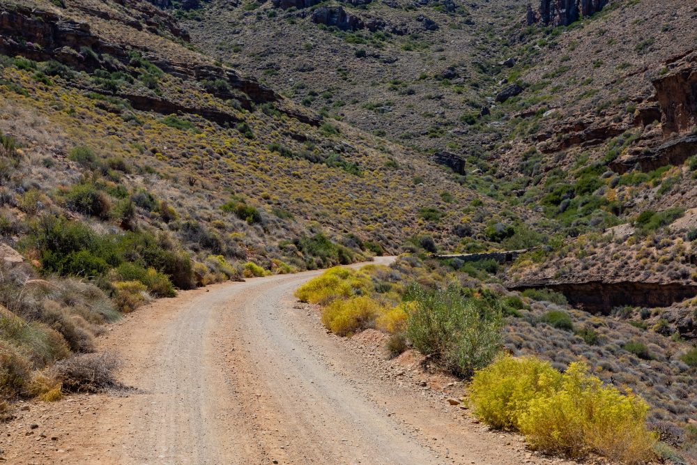
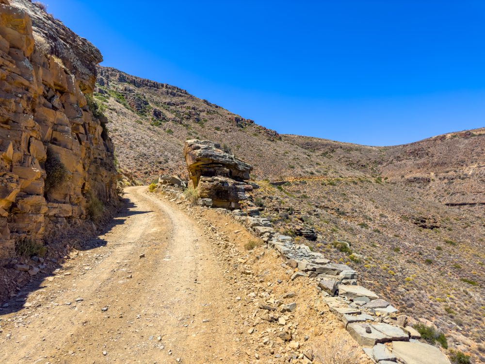
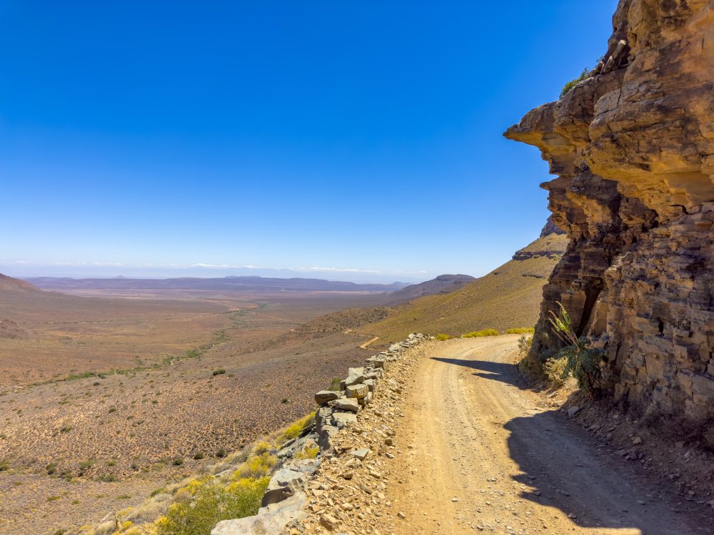
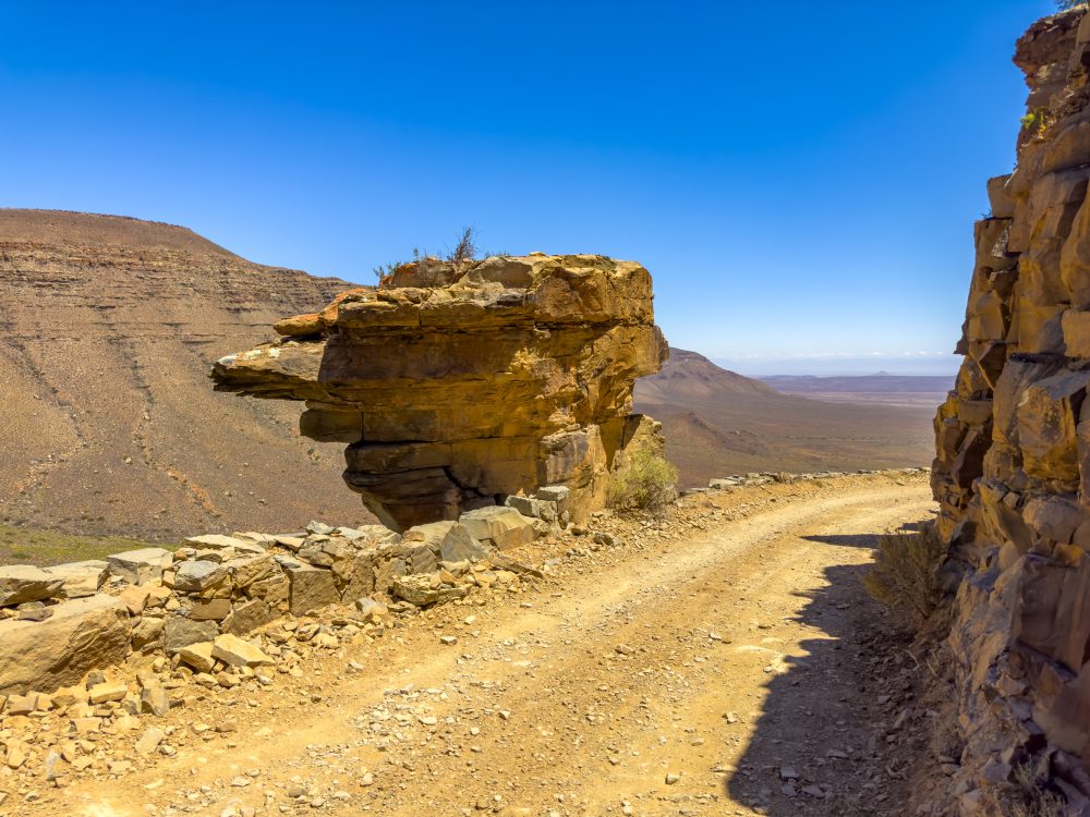
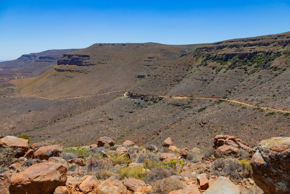
Gannaga Pass, a historic gravel road constructed during the 1930s that reaches a length of approximately 6 kilometres and a height of about 700 meters, is located within the Roggeveld escarpment. The pass connects lower plains of the Karoo with elevated areas along the escarpment, providing access to remote parts of the park and linking historical farmsteads and natural landmarks. It is characterised by several curves, some of which are very sharp, and great sweeping views of the plains below and the rugged mountains above. The surrounding environment reflects the harsh, semi-arid conditions of the Tankwa Karoo, with seasonal variations in temperature and sparse rainfall.
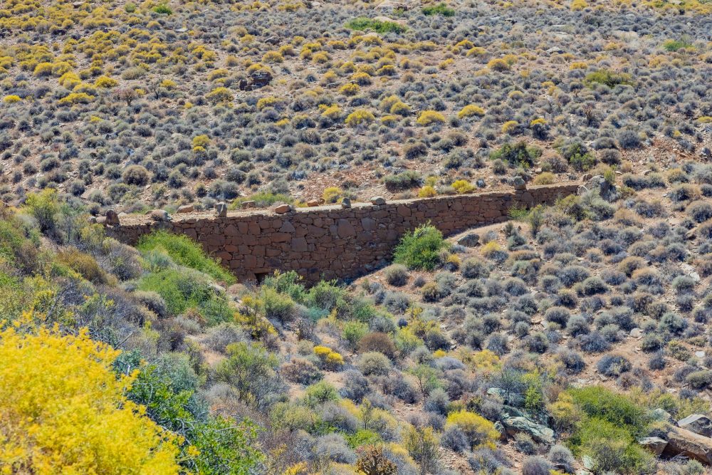
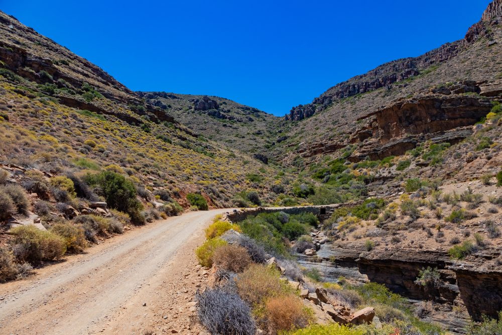
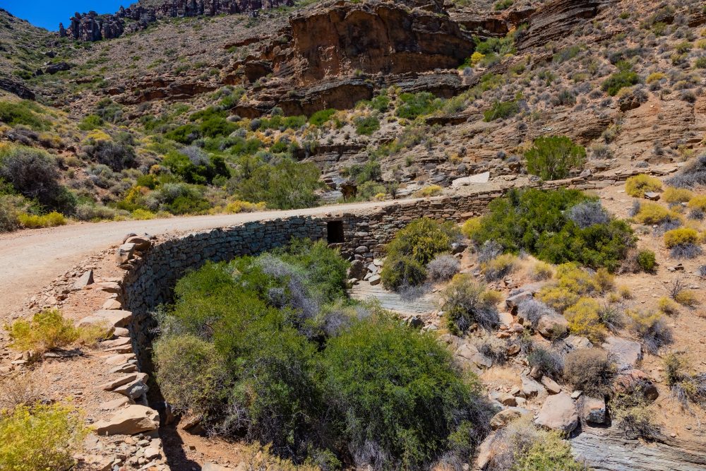
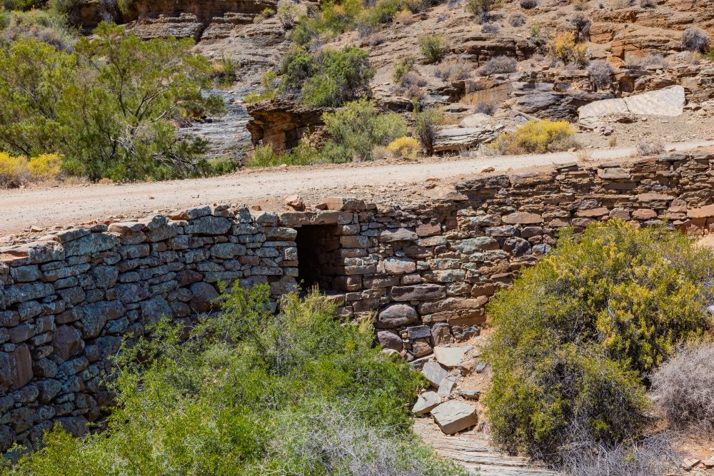
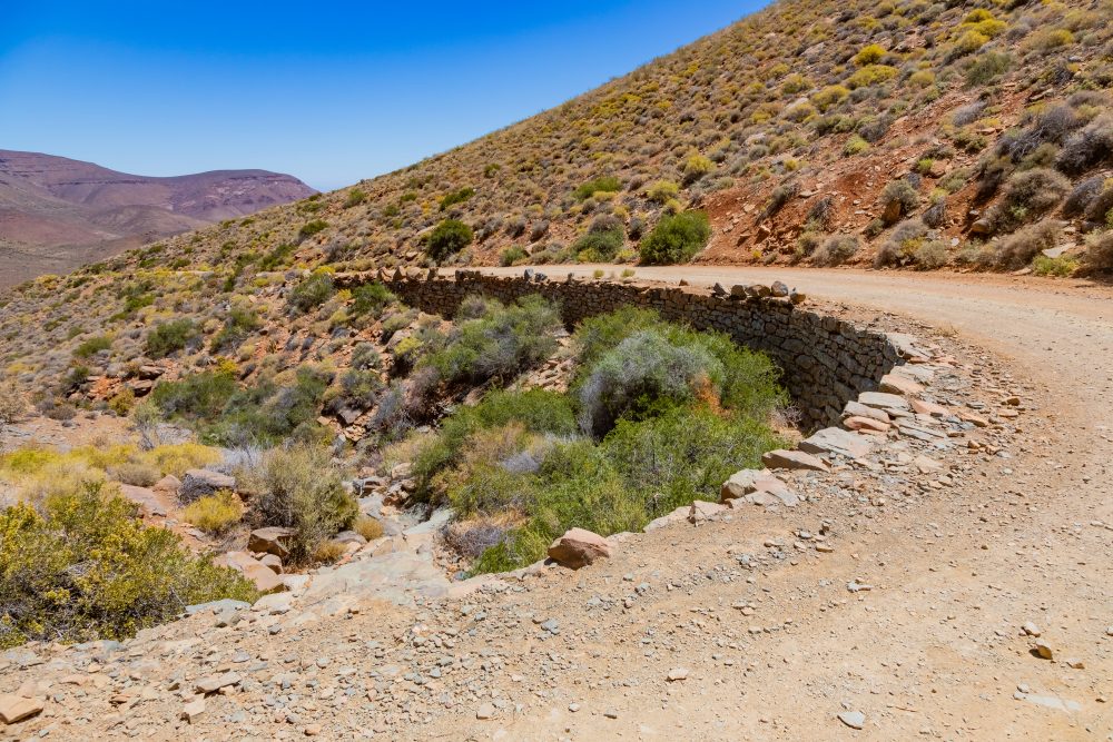
What is highly impressive about the architectural design of the Gannaga Pass is the thinking that went into finding means of channelling water away from the main gravel road. ‘Small windows’ were constructed on either side of the road, underneath, so that water can flow down the mountain side – allowing for the road to be well preserved over time.
Gannaga Pass rises sharply along the Roggeveld escarpment, which is composed of sedimentary Karoo rocks interspersed with dolerite sills. The steep gradient required careful engineering to stabilise the road, using locally sourced stone to build retaining walls. The impressive stone retaining walls and sharp gradients showcase practical solutions to building infrastructure in a remote and rugged environment of Tankwa. Gannaga Pass thus demonstrates how early 20th century engineers adapted road construction techniques to challenging topography, utilising natural rock formations for support and erosion control.
Today, the pass serves both as a functional road and as a scenic route for visitors, providing spectacular panoramic views and offering insight into the historical development of the Tankwa Karoo. The pass reflects the intersection of human enterprise, engineering, and adaptation to challenging landscapes. Following the floods in June 2023, some sections of the pass were completely eroded, raising concerns for the general safety of the road. This site reflects the intersection of human enterprise, engineering, and adaptation to challenging landscapes.
GPS Waypoints: 32°7'32.736"S 20°5'59.855"E