Auchterlonie Jaggers Home
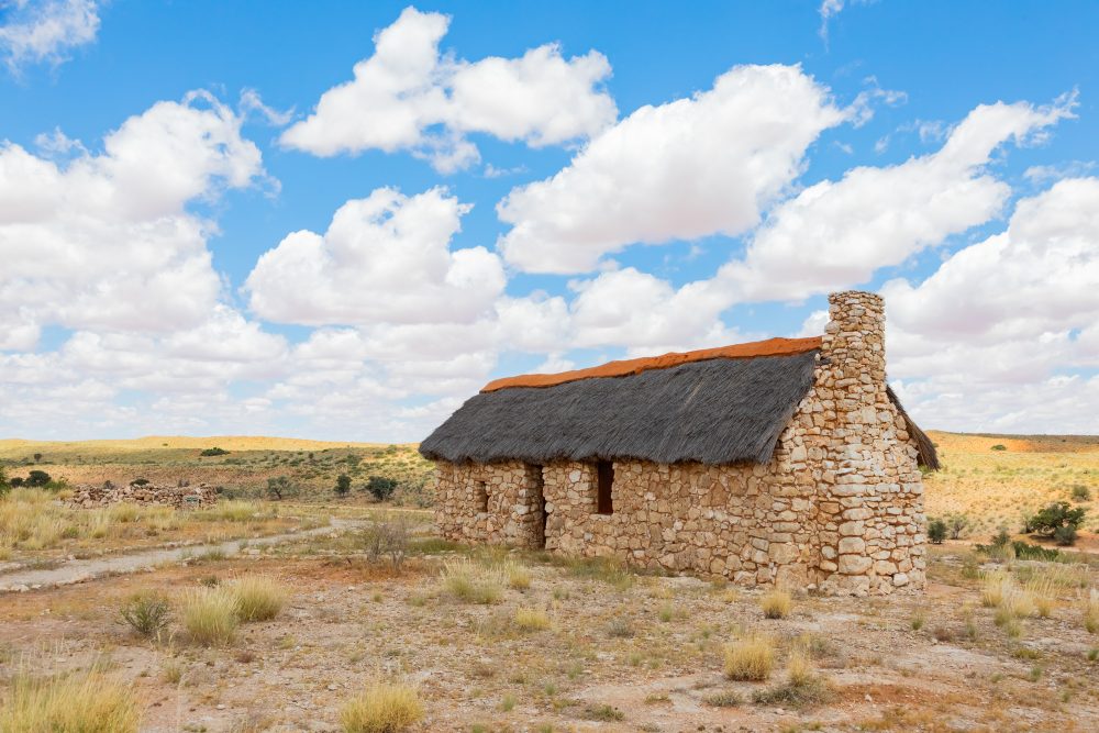
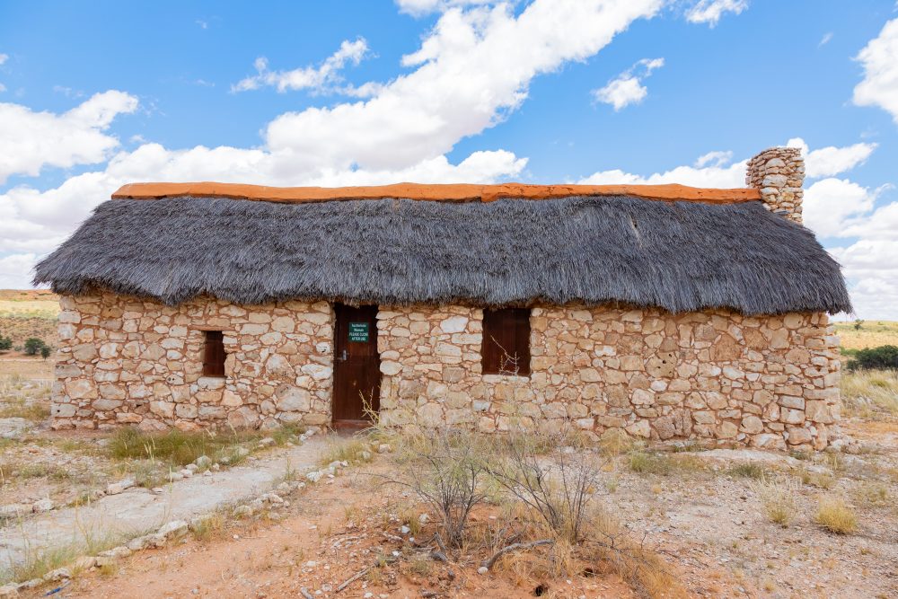
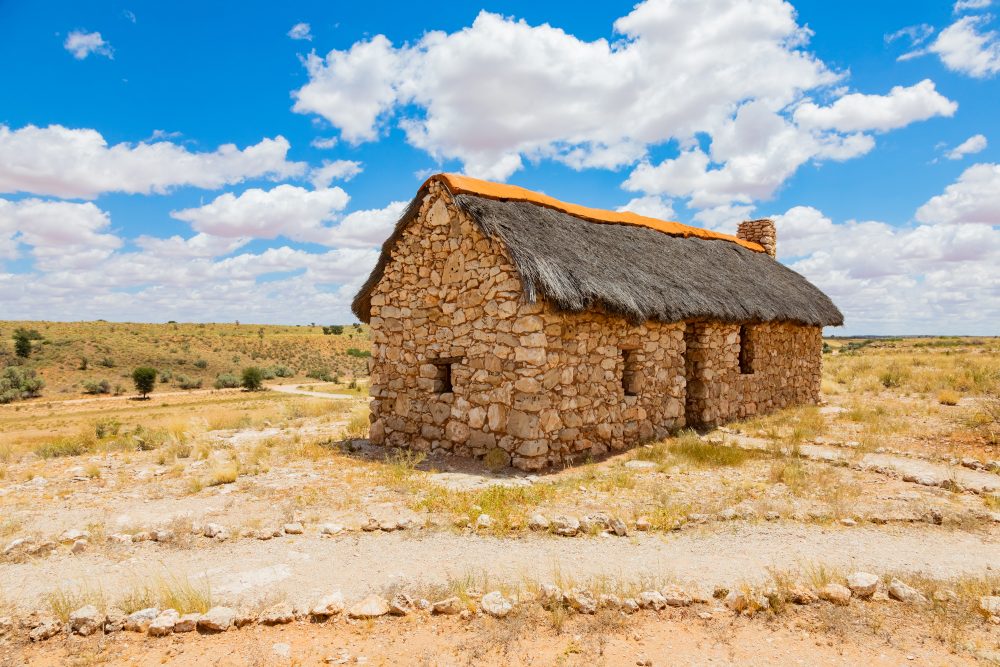
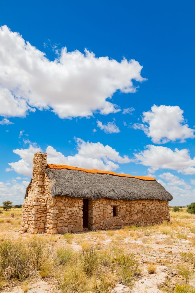
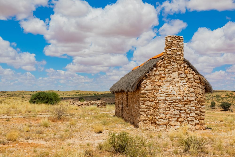
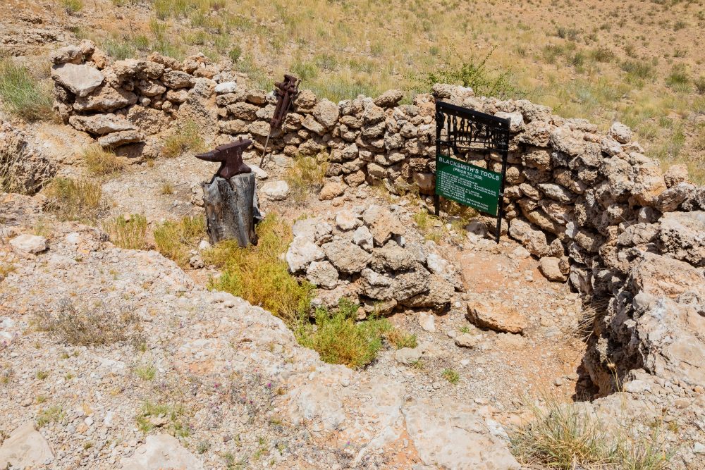
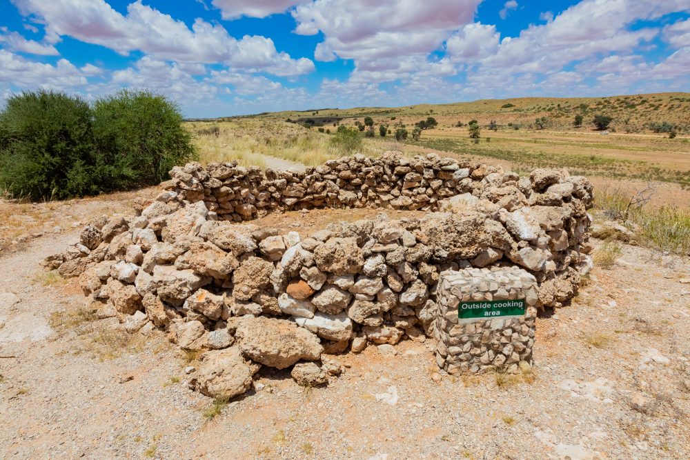
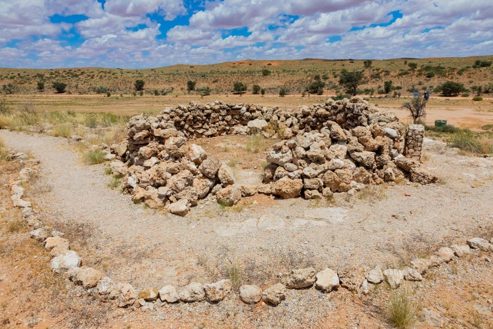
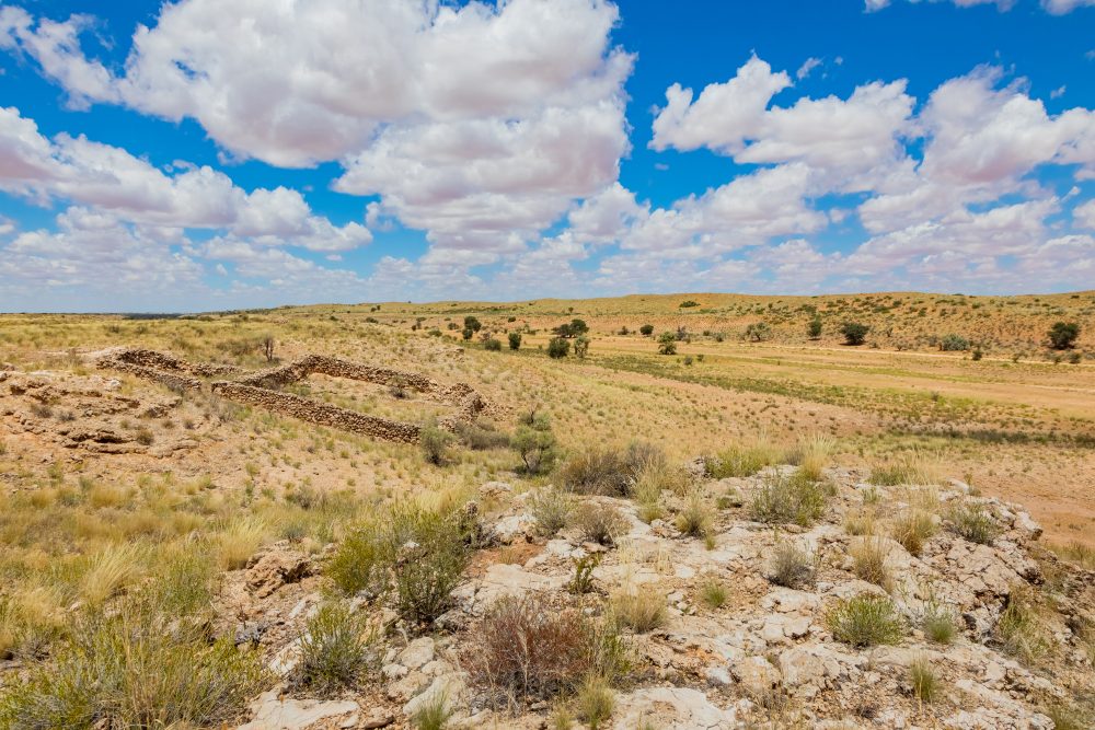
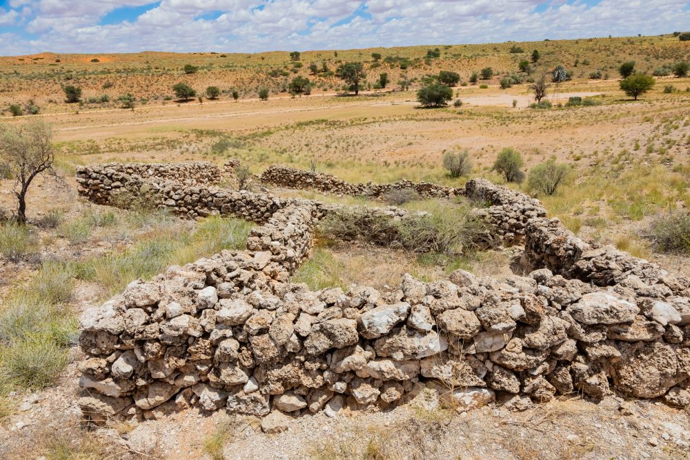
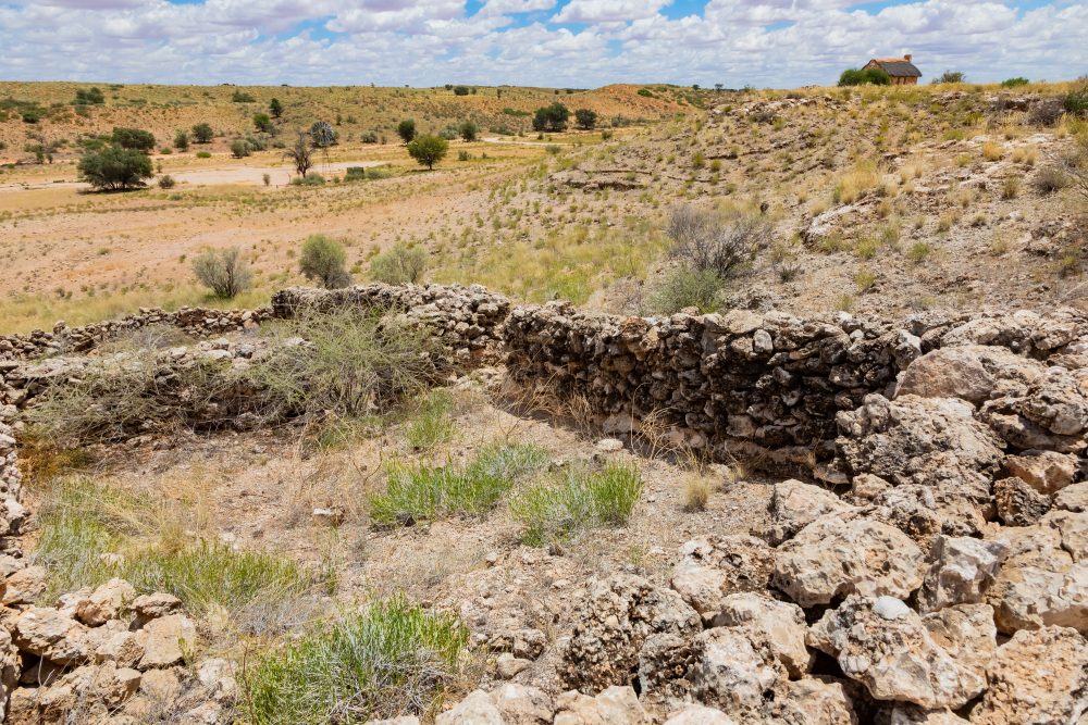
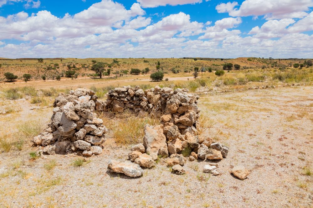
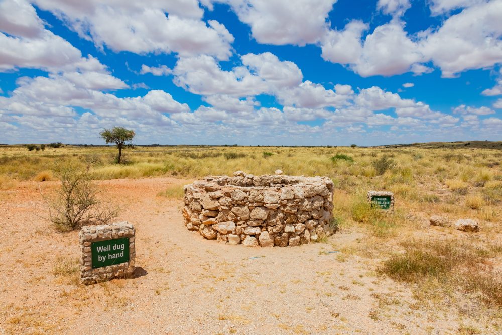
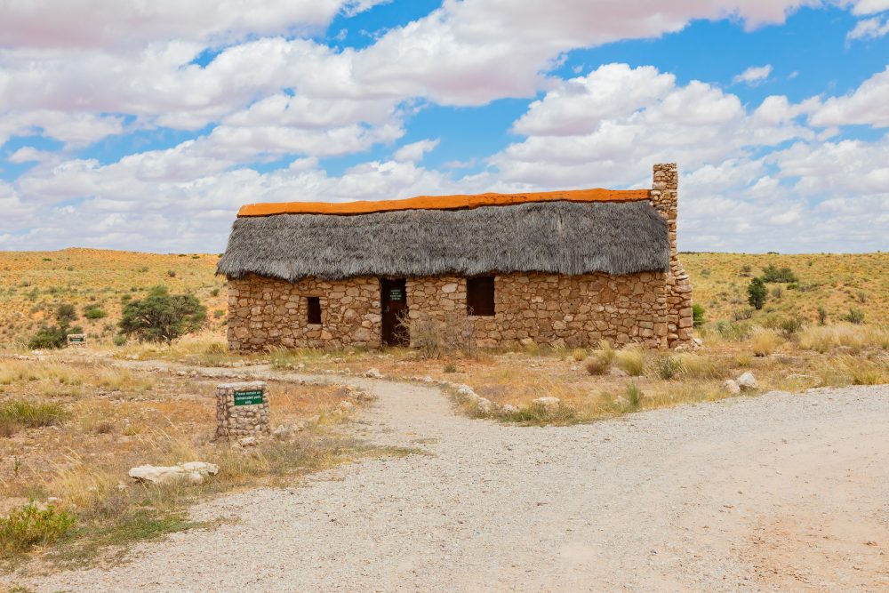
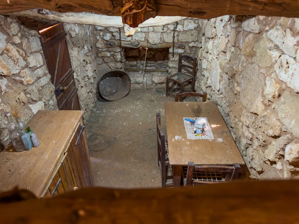
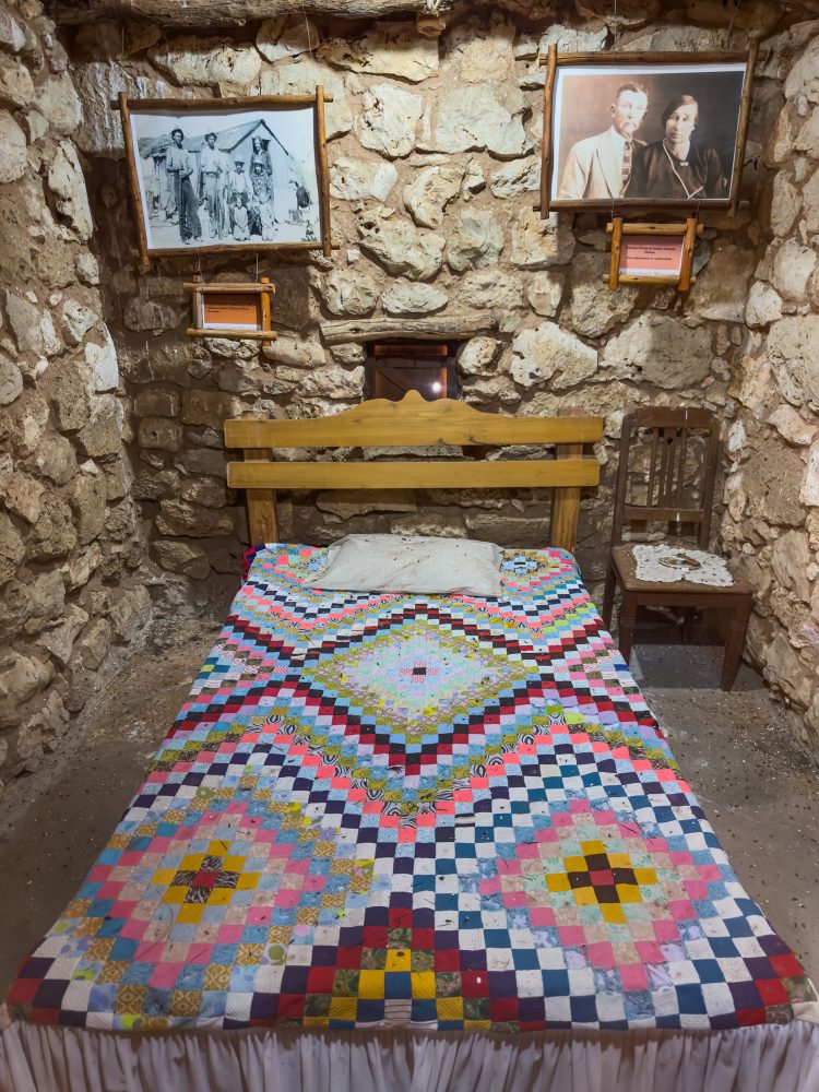
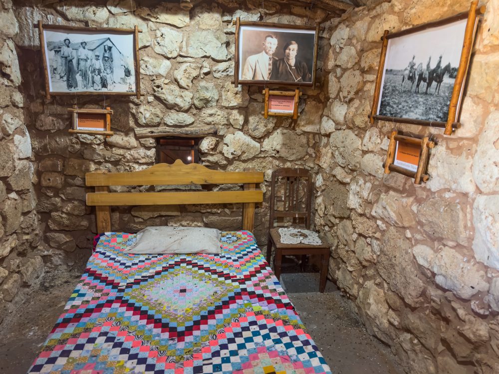
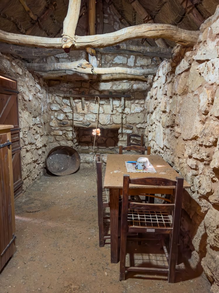
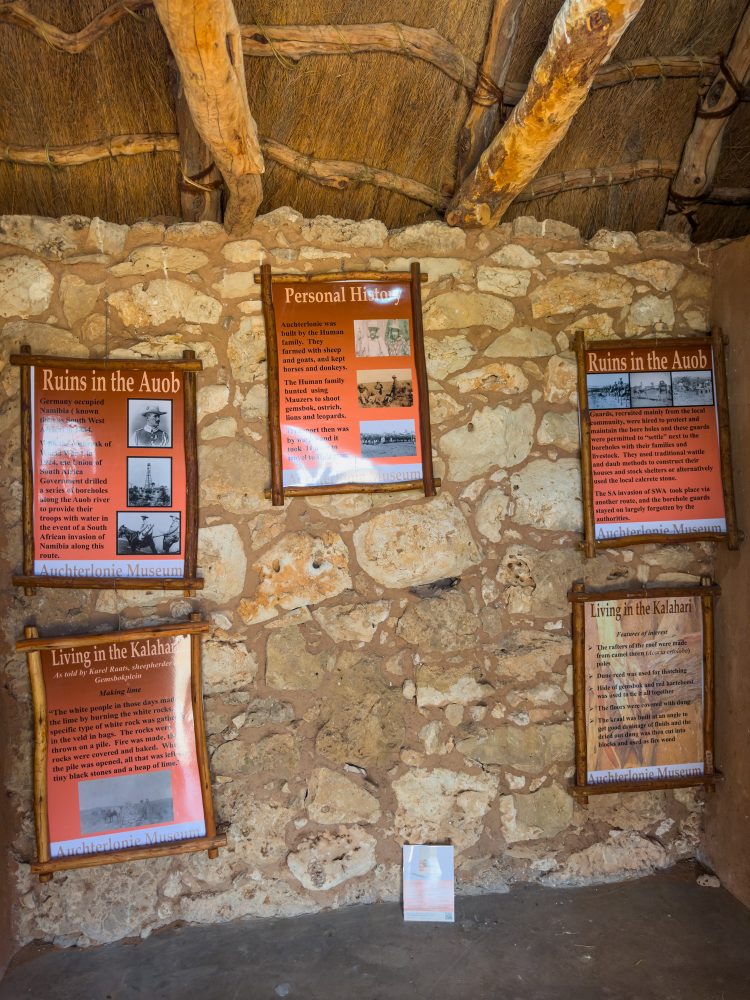
Auchterlonie Jaggers home is situated within the Nossob river valley, along the main tourist route between the Nossob and Mata-Mata Rest Camps. Although the Nossob River is ephemeral, its broad riverbed has historically served as a natural corridor for wildlife movement and human travel through the southern Kalahari. The Auchterlonie Jaggers home is of considerable cultural and historical significance as a rare surviving example of early non-indigenous settlement in the Kgalagadi region. The structure is associated with George Auchterlonie, a late 19th-century trader and transport rider, and Jaggers (a professional hunter). They both operated in the area during the period of frontier expansion. The site illustrates early adaptation to the Kalahari environment and provides insight into patterns of trade, hunting, and subsistence prior to formal conservation. It also forms part of the broader layered cultural landscape of the Kgalagadi, which includes long standing indigenous use of the region, particularly by San communities, as well as later colonial authorities.
Auchterlonie Jaggers home is situated within a semi-arid Kalahari savanna environment, characterised by low and highly variable rainfall, extreme temperatures, and open landscapes. The vegetation is dominated by red duneveld and riverine savanna, with species such as camelthorn (Vachellia erioloba), shepherd’s tree (Boscia albitrunca), and various drought-resistant grasses. In addition, the surrounding environment supports a rich assemblage of wildlife, including large herbivores and predators, making the area ecologically significant despite its harsh climatic conditions.
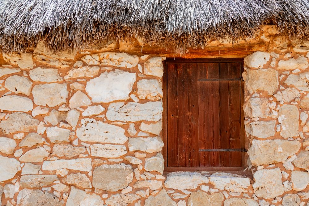
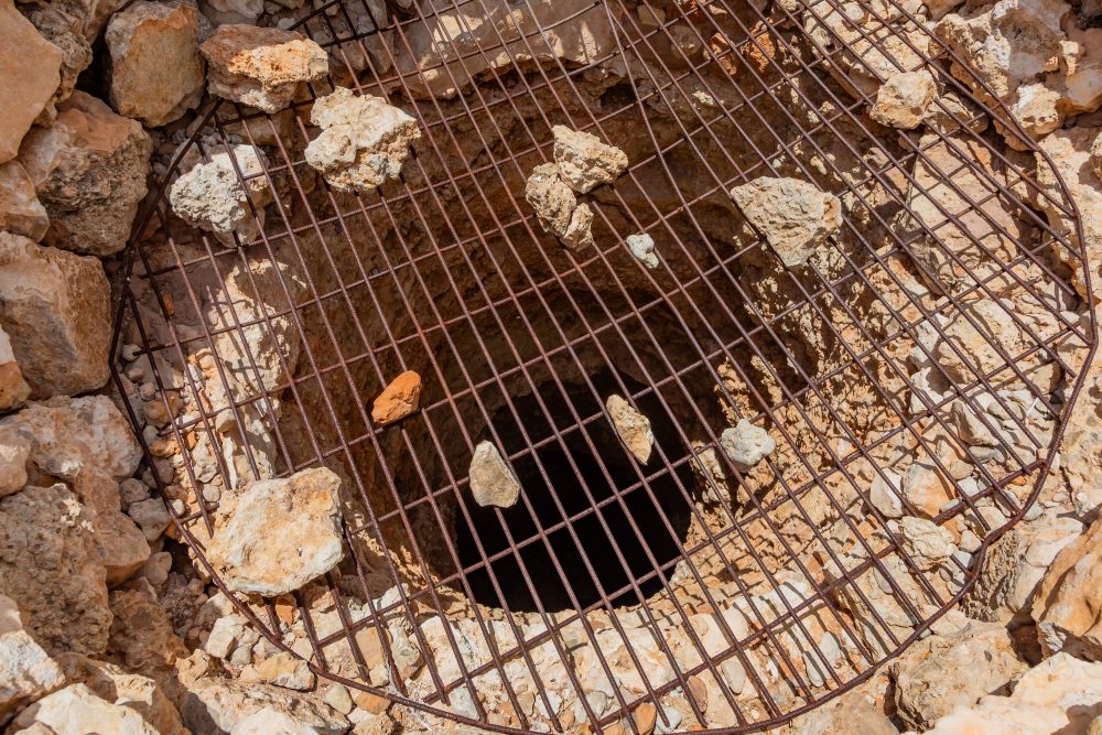
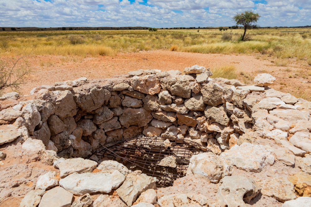
The geology of the area is typical of the Kalahari basin, consisting primarily of deep aeolian sands overlaying calcrete and older sedimentary deposits. The Nossob river valley represents an ancient fossil drainage system, now largely dry, but historically important for groundwater availability. The stone used in the construction of the Auchterlonie Jaggers home was locally sourced, reflecting the practical use of available calcrete and rock materials in an otherwise resource scarce landscape.
GPS Waypoints: 26°11'06.5"S 20°32'48.3"E