Klerksvlei Farmstead
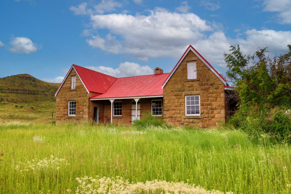
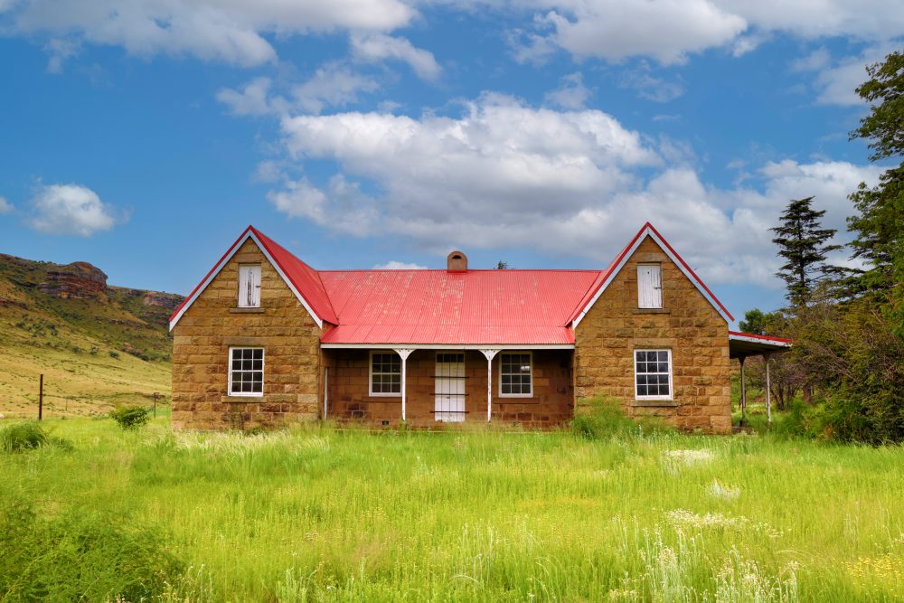
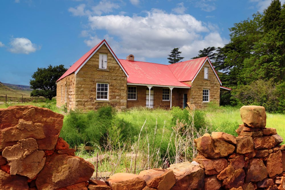
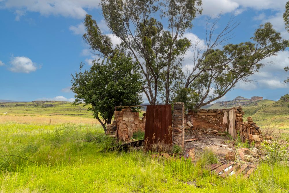
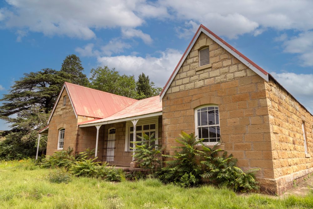
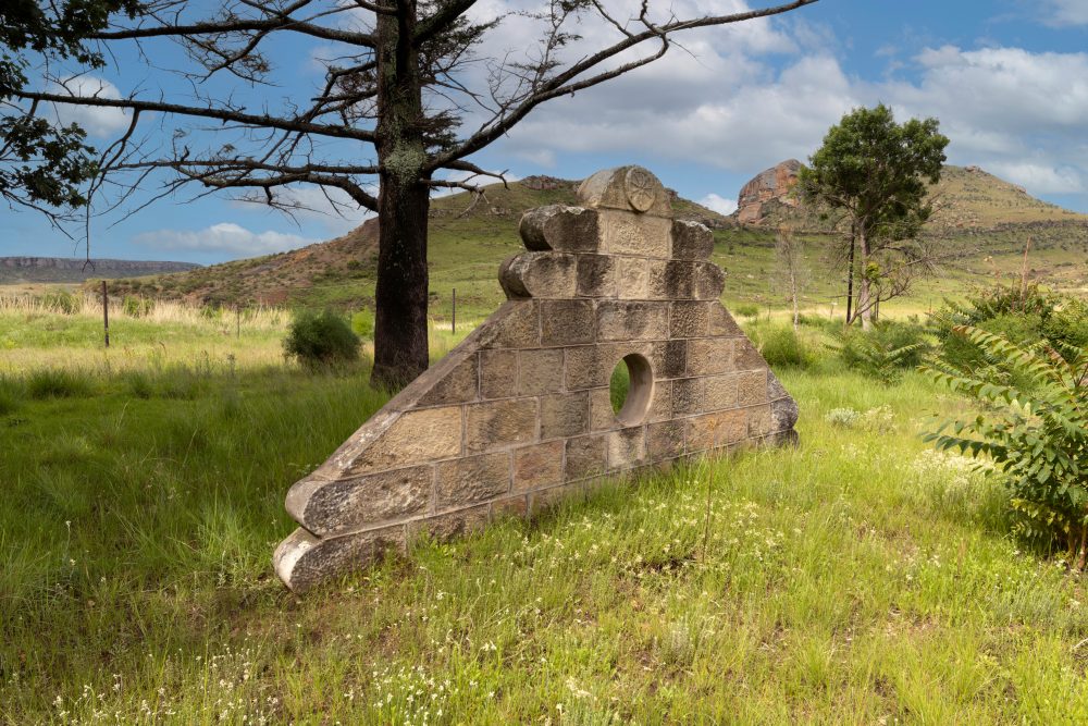
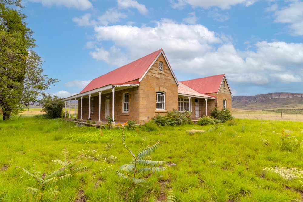
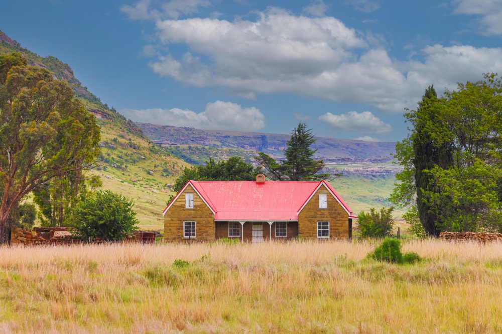
The Klerksvlei Farmstead (also spelled as Klerksvly) is located northeast of the park at the foothills of the Maluti Mountains. The farmstead, built in 1884, is surrounded by a landscape characterised by montane grassland, steep ravines and broad valleys carved into sandstone cliffs. The vegetation, encouraged by the typical highland region of summer thunderstorms and snowy winters, is a mix of high-altitude grass species and Afromontane elements. The geology of the area consists of sandstone cliffs that form part of the Clarens formation, which sits above older sedimentary layers in Karoo Supergroup. These sedimentary rock formations have yielded important fossils, including dinosaur eggs found within the park.
The Klerksvlei Farmstead holds a layered cultural significance that extends far beyond its sandstone walls. Its importance arises from its role in the South African War. Although the Treaty of Vereeniging, which represented the formal end of the second South African War, was signed in Pretoria, the Klerksvlei farmhouse is associated with local level surrender discussions and the broader process of capitulation in the eastern Orange Free State. Local efforts made were meant to complement the national story told by the Vereeniging treaty signed on 31 May 1902. The Klerksvlei farmhouse became a centre of refuge where ceasefire was negotiated, as soldiers were retreating through the rugged highlands. This links the house directly to the closing phases of the war, when regional commanders weighed the humanitarian costs of continued resistance. This gives the house a symbolic meaning, embodying the moment of transition from conflict to reconstruction in this part of the Free State.
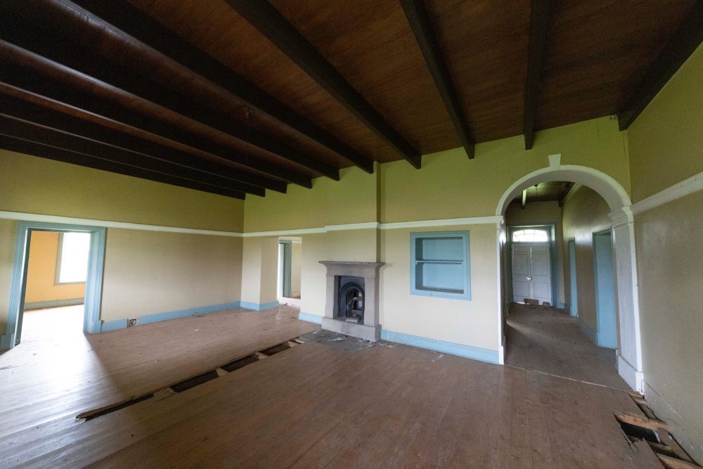
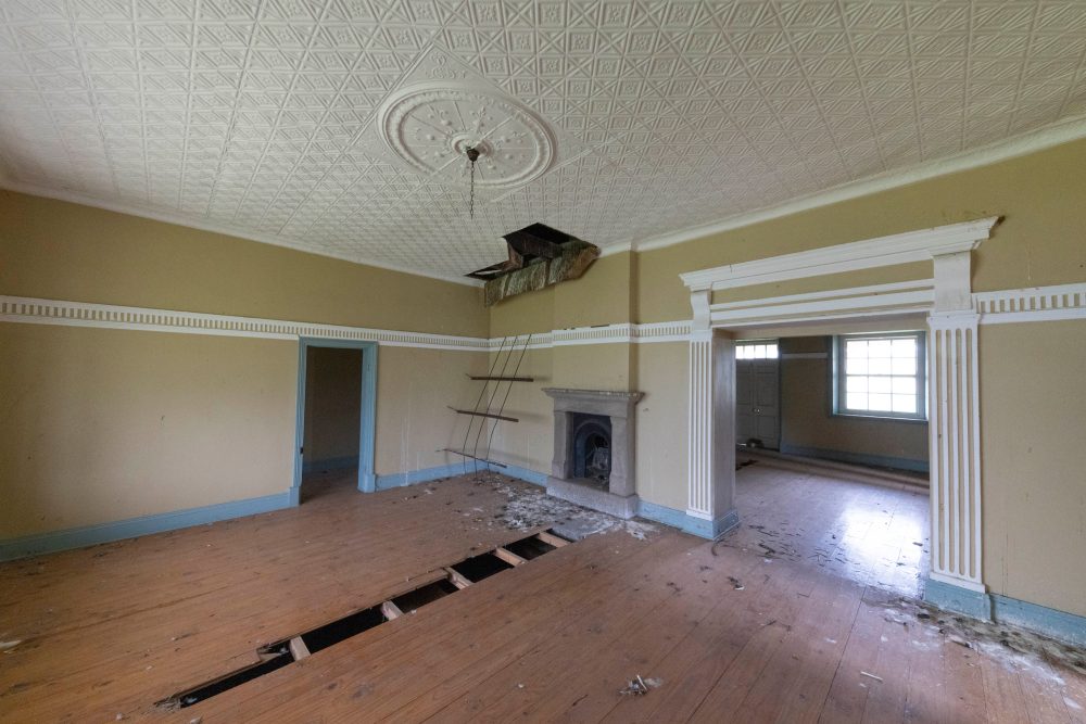
Besides its historical significance, the house is architecturally significant as a well-preserved example of rural Free State vernacular architecture during the 1880s. The Klerksvlei house is defined by an h-shaped plan, thick sandstone walls, simple gables, and lime-plastered interiors which reflect typical frontier designs of the time. The structure represents a pioneer farming lifestyle, shaped by isolation, resourcefulness, and reliance on local materials. The house was restored in the early 2000s, using traditional sandstone masonry techniques, reconnecting contemporary craftsmen with historical building practices. Its revitalisation signalled a renewed commitment to protecting both natural and cultural landscapes in park. The house now stands as a symbol of reclamation and memory, ensuring that historical Free State farm culture is not eclipsed by the park’s geological and scenic fame.