Cupule Boulder
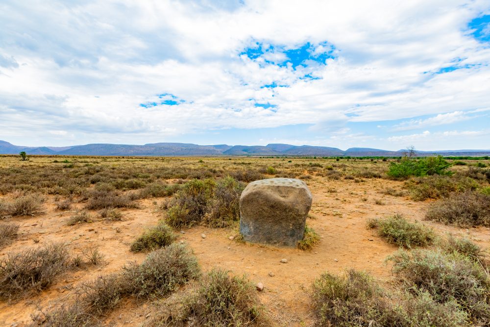
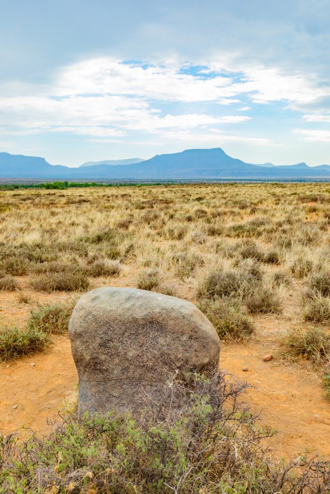
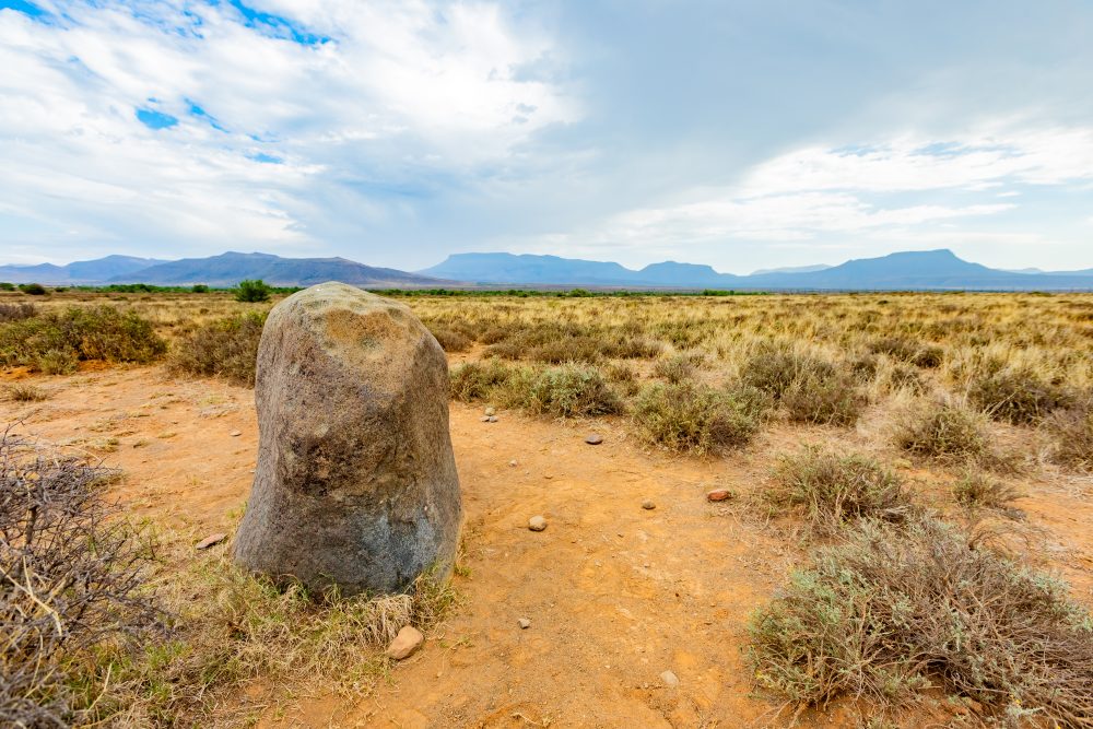
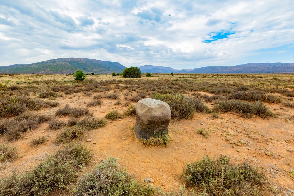
The Cupule Boulder is located near the Gannaleegte boundary, in an area characterised by exposed granite outcrops. Its elevated and prominent placement, with sparse vegetation and clear sightlines around it, made it a natural focal point in the landscape, enhancing its prominence in the landscape. The surrounding environment consists of open plains punctuated by rocky ridges, outcrops, and scattered shrubs typical of the Karoo biome. The boulder is composed of granite, a durable igneous rock that resists erosion. The shallow circular depressions, known as cupules, were deliberately formed by repeated hammering using stone tools. Unlike natural weathering, these depressions exhibit regular spacing, consistent depth, and evidence of tool impact, indicating intentional creation. Cupules are among the earliest known forms of human-made rock markings and are found in various parts of southern Africa, often associated with ritual or symbolic practices. The cupules on this boulder are believed to have been made by hunter-gatherer communities and likely served ritualistic (i.e. initiation rites, fertility, or rainmaking rituals), symbolic, or communicative purposes.
GPS Waypoints: 32°12'22.7"S 24°28'00.2"E