Manie Maritz’s Fort

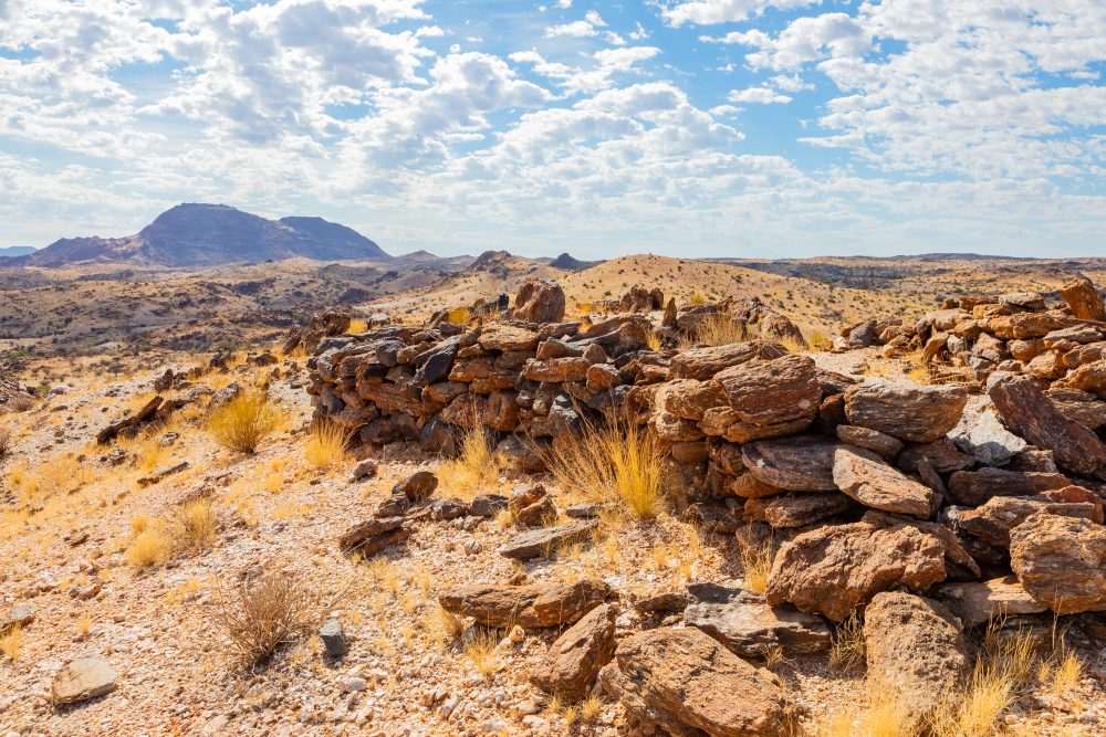
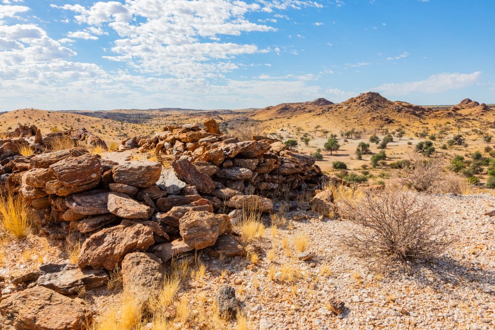
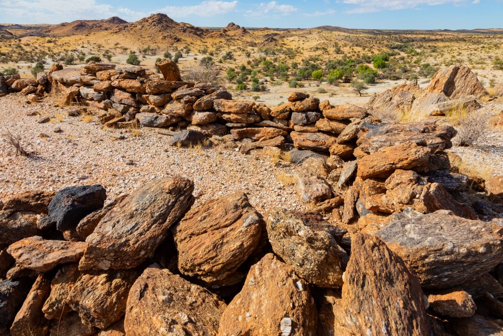
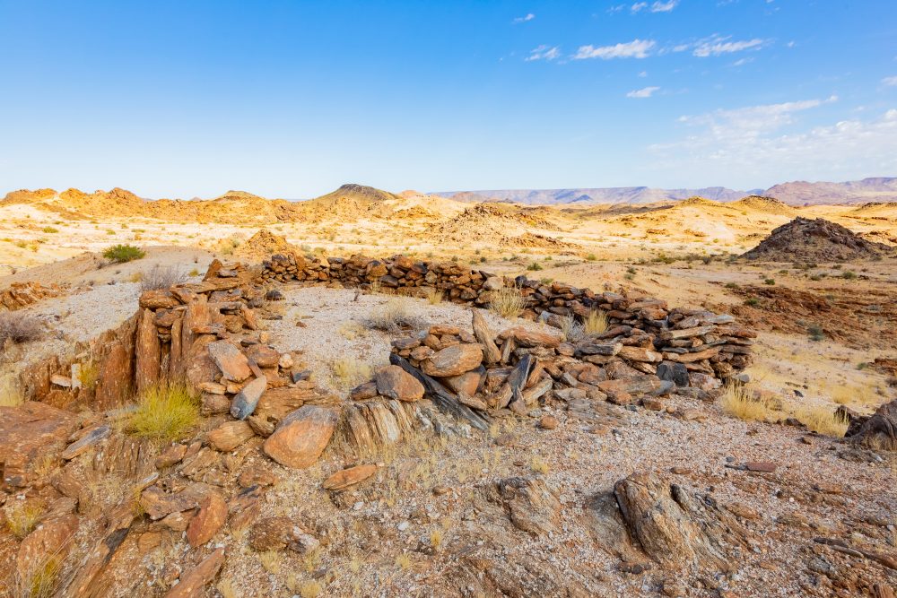
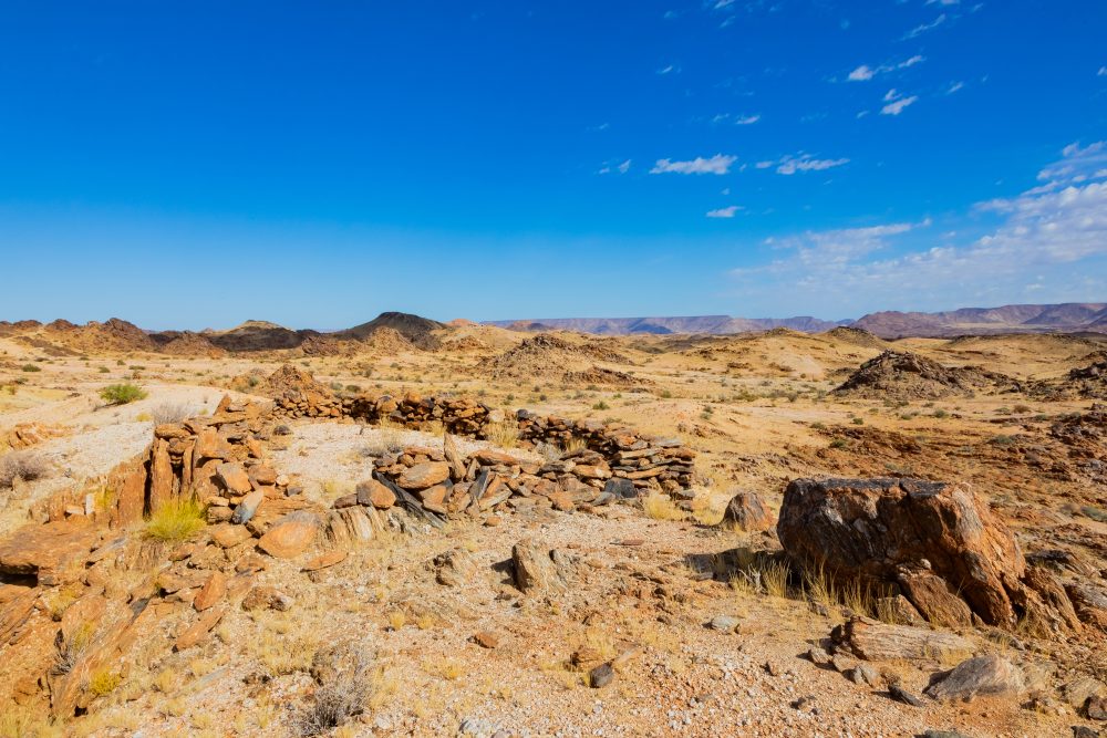
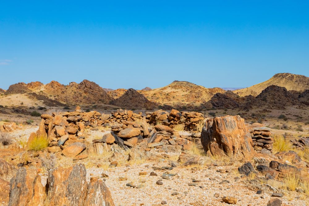
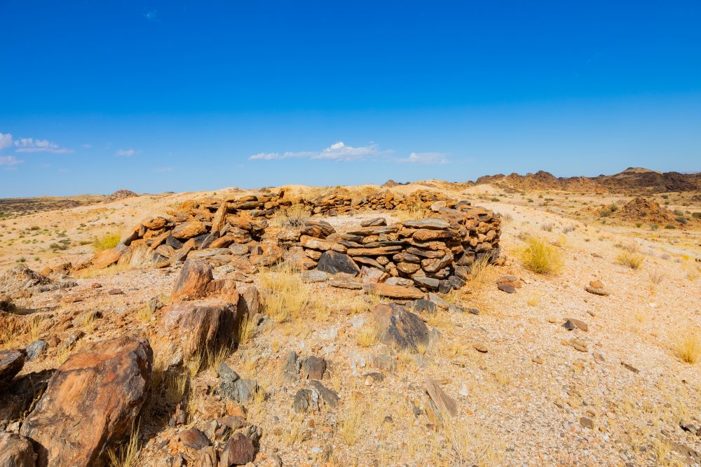
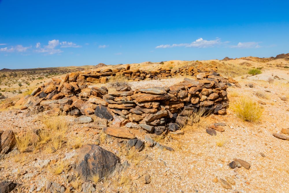
Manie Maritz’s Fort site is located near the historic transport and patrol routes that linked the interior of South Africa with Namibia and Botswana. Its remote position reflects its original strategic purpose in monitoring movement across this sparsely populated frontier zone. Manie Maritz’s Fort is of notable historical and cultural significance due to its association with General Manie Maritz, a prominent and controversial figure in early 20th century southern African history. The fort is linked to military activity and frontier control during a period marked by colonial rivalry, regional conflict, and shifting political boundaries, particularly in relation to German Southwest Africa (now Namibia). As part of the wider cultural landscape, the site reflects themes of militarisation, resistance, and the complex legacy of colonial-era conflict in the region.
The fort is situated within an arid Kalahari landscape, characterised by low rainfall, extreme temperatures, and open terrain dominated by sandy soils. Vegetation consists mainly of sparse savanna and duneveld, with hardy species such as camelthorn (Vachellia erioloba), shepherd’s tree (Boscia albitrunca), and drought-tolerant grasses. The harsh environment shaped both the construction of the fort and the daily lives of those stationed there, necessitating reliance on limited water sources and local materials.
The geology of the area is typical of the Kalahari Basin, comprising deep aeolian sands overlying calcrete and older sedimentary formations. Stone and calcrete used in the construction of the fort were sourced locally, reflecting practical adaptation to the surrounding geological conditions. The relative stability of calcrete-rich areas made them suitable for building in an otherwise sandy landscape.
GPS Waypoints: 28°29'54.4"S 20°04'24.8"E