Augrabies Falls (Aukoerebis)
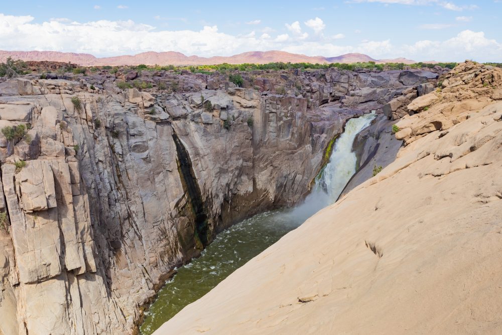
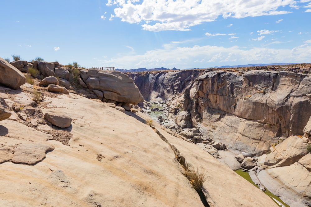
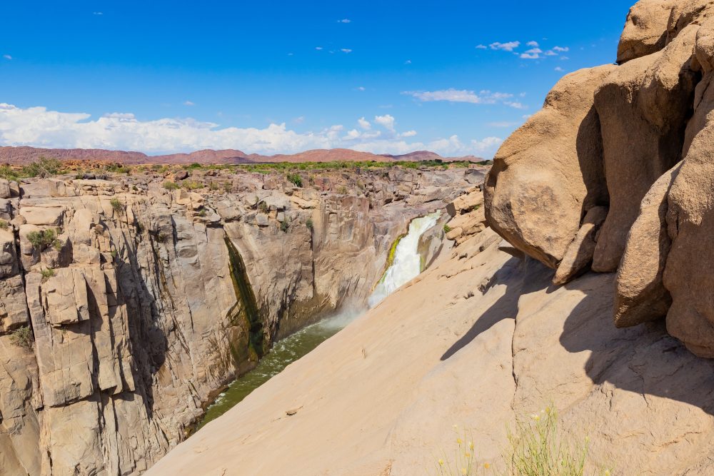
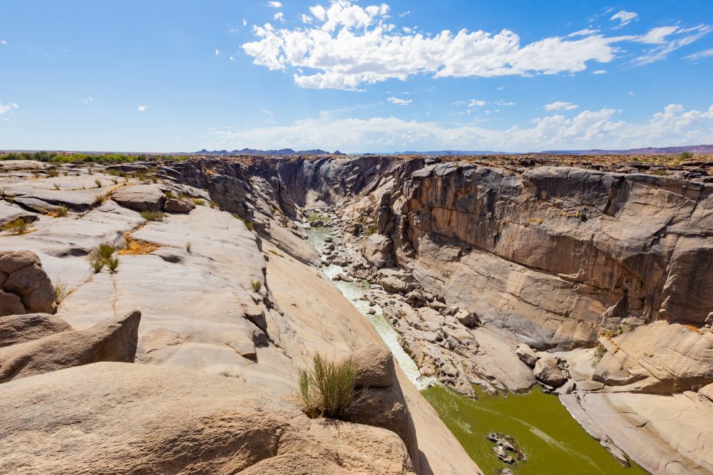
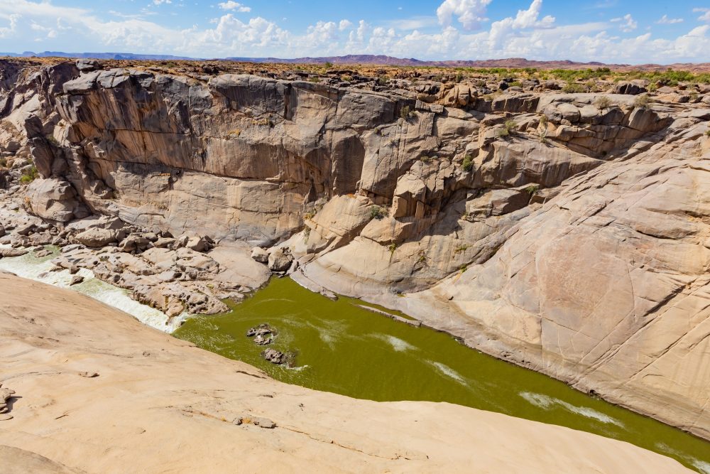
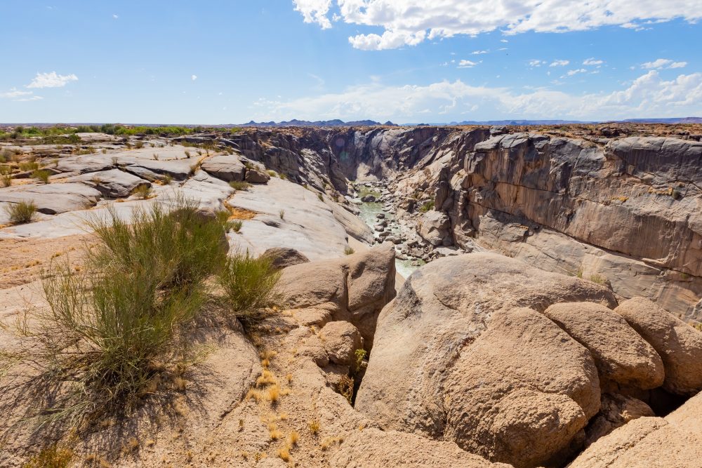

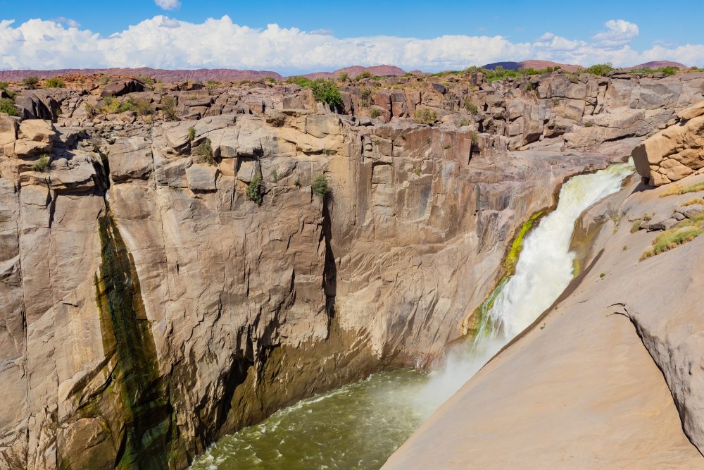
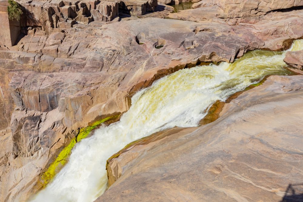
Augrabies Falls, also known as Aukoerebis (‘place of great noise’), is located on the Orange River. The falls occupy a section of the river where it narrows and plunges through a deep granite gorge, forming one of southern Africa’s most spectacular and dramatic waterfalls.
Augrabies Falls holds profound cultural and spiritual significance, particularly for the Khoekhoe and other indigenous communities, who named the site Aukoerebis in reference to the thunderous sound of the falling water. The falls have long been associated with oral traditions, spiritual beliefs, and respect for natural forces. In more recent history, the site became an important landmark during colonial exploration and settlement and later a focus for conservation. Today, Augrabies Falls represents a layered cultural landscape where indigenous heritage, colonial history, and natural heritage converge, contributing to its national and international significance.
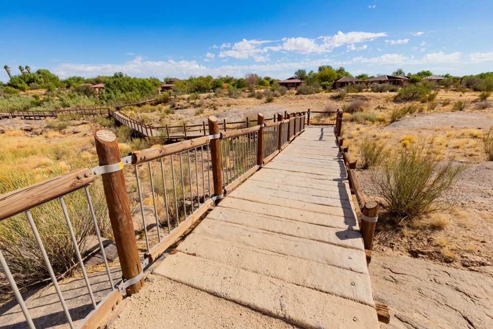
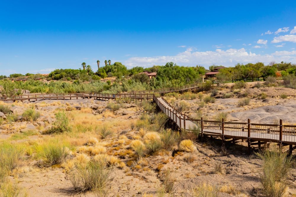
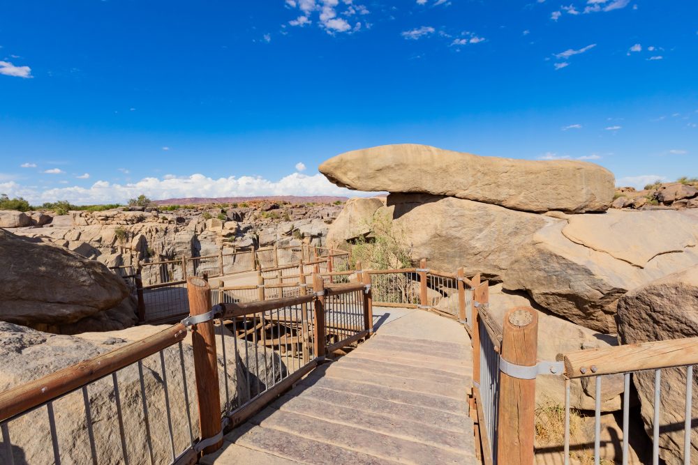
The surrounding environment is characterised by an arid to semi-arid desert landscape, with extremely high summer temperatures and low annual rainfall. Thus, the vegetation is sparse and adapted to harsh conditions, including the succulent Karoo and desert-savanna species, such as quiver trees (Aloidendron dichotomum), euphorbias, and hardy shrubs. The Augrabies Falls provide a vital ecological corridor, supporting riparian vegetation and wildlife that contrasts sharply with the surrounding dry landscape.
GPS Waypoints: 28°35'24.8"S 20°20'10.5"E