The effect of adjacent vegetation on fire severity in Afrotemperate forest along the southern Cape coast of South Africa
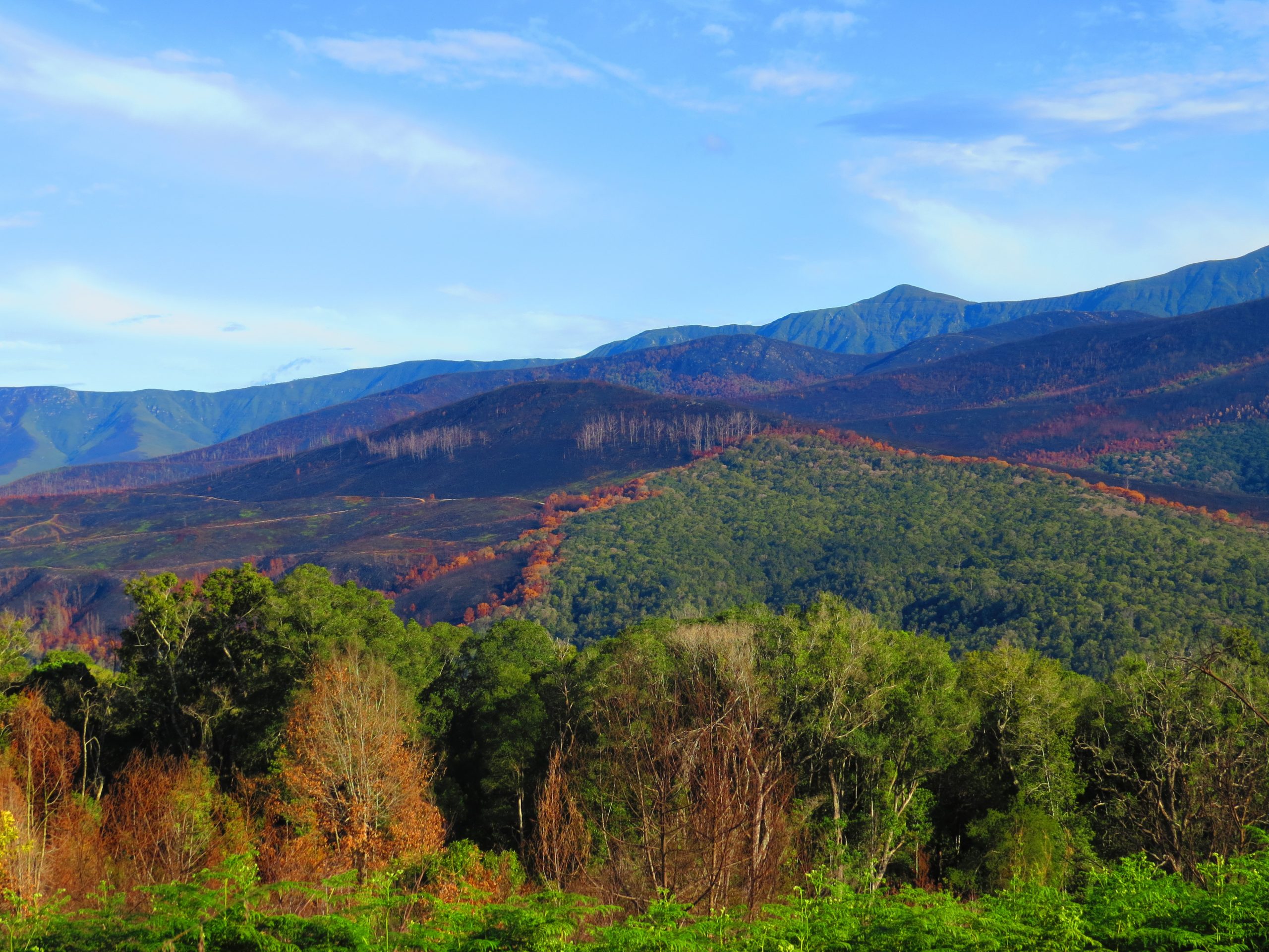
Fire is able to burn into forest. How far, depends on adjacent vegetation, wind speed and direction and how dry the vegetation is. Photo By Johan Baard
Closed-canopy forest often occurs within a matrix of fire-prone biomes, such as fynbos, shrubland or grassland, as patches or pockets that are less exposed to fire. These forest pockets typically occur in ravines and other topographical positions in the landscape that are protected from fires driven by desiccating bergwinds. The aim of this study was to determine whether fire severity in Afrotemperate forest margins depended on adjacent vegetation types.
Two large wildfires, around the towns of Knysna in 2017 and George in 2018, jointly burnt over 80 000 ha in the southern Cape. These fires provided ample opportunity to investigate how forest margins burn. In this area, patches of closed-canopy Afrotemperate forest occur within a matrix of fire-prone fynbos shrublands and often adjacent to commercial plantations of alien Pinus trees. These extensive fire-sensitive plantations are fragmented and mostly replaced fynbos along the lower and mid-mountain slopes, in wind-exposed and thus fire-exposed topographical positions in the landscape.
These plantations and other transformed land uses (e.g. pastures, towns and roads) alter natural patterns of ignition, fire spread and fire severity in the landscape.
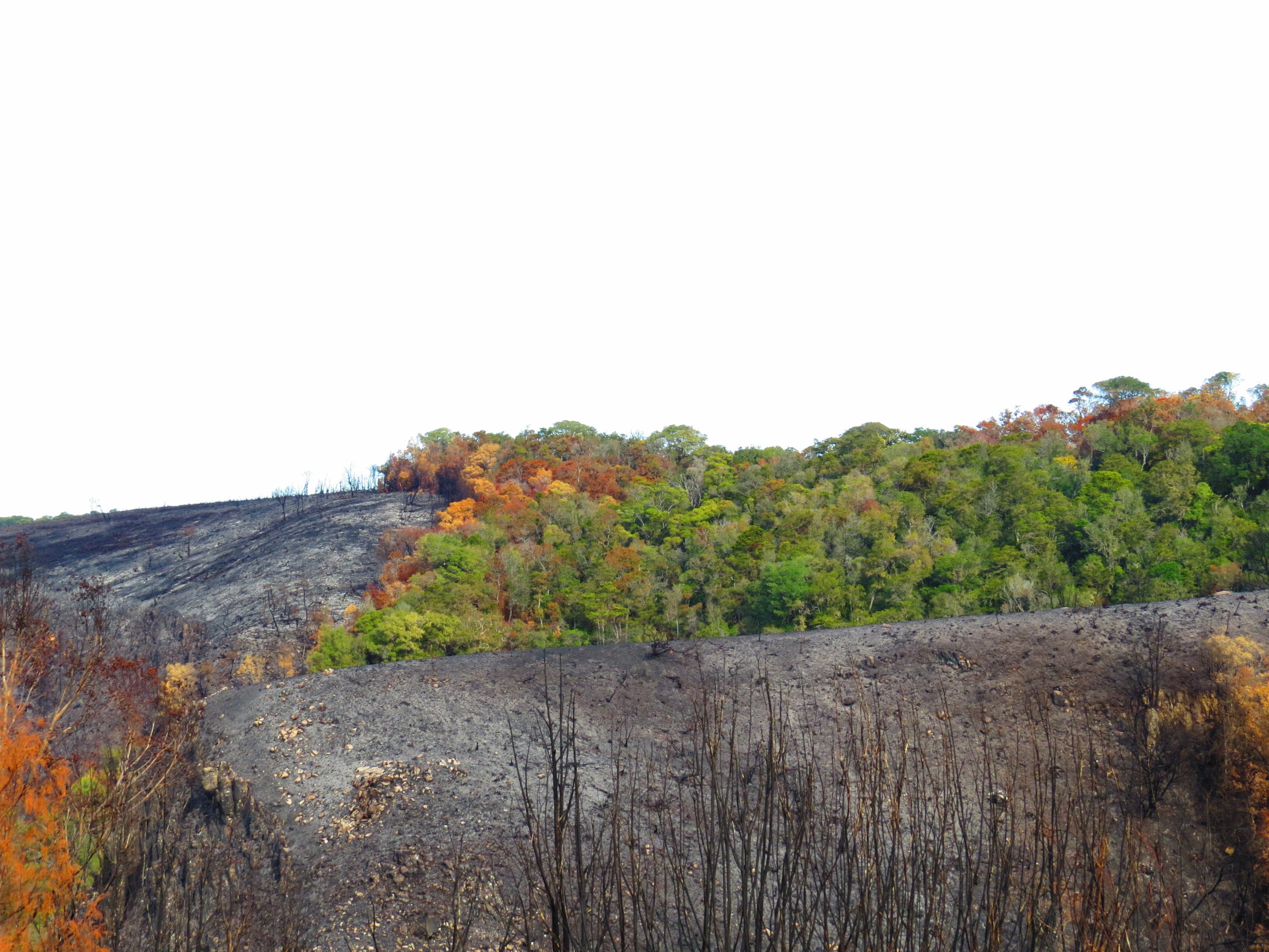
Isolated mountain forest, almost completely burnt. Photo by Johan Baard
Unlike fynbos-forest ecotones, the transition between plantation and forest is structurally abrupt. The abrupt ecotone leaves the forest understory more exposed to fire, allowing easier penetration into the forest when compared to the more protected fynbos-forest ecotone. Fuel traits that differ between fynbos and pine plantations that may increase or decrease fire severity include the density, distribution, moisture and chemical contents of fuels. Bordering plantations could therefore potentially expose the forest margin to altered intensity and extent of burns. We compared the distances that fire penetrated into forest margins adjacent to fynbos to those adjacent to plantations.
The respective areas burnt by the Knysna and George fires were digitised from satellite imagery using standard methodology. We demarcated burnt forest margins in GIS by intersecting the Knysna and George fire scars with a vegetation layer that delineated forest, fynbos and plantations. The derived layer of burnt forest margin polygons was subsequently intersected with an index of fire severity, the difference Normalised Burn Ratio (dNBR), derived from Sentinel 2 imagery taken before and after the respective fires. The dNBR represents the difference between the normalised ratio of the near infrared and short wave infrared reflectance before and after fire and may therefore be interpreted as an index for the quantity of biomass burnt and thus for fire severity. This was used to compare fire severity in forest margins adjacent to fynbos to those adjacent to plantations.
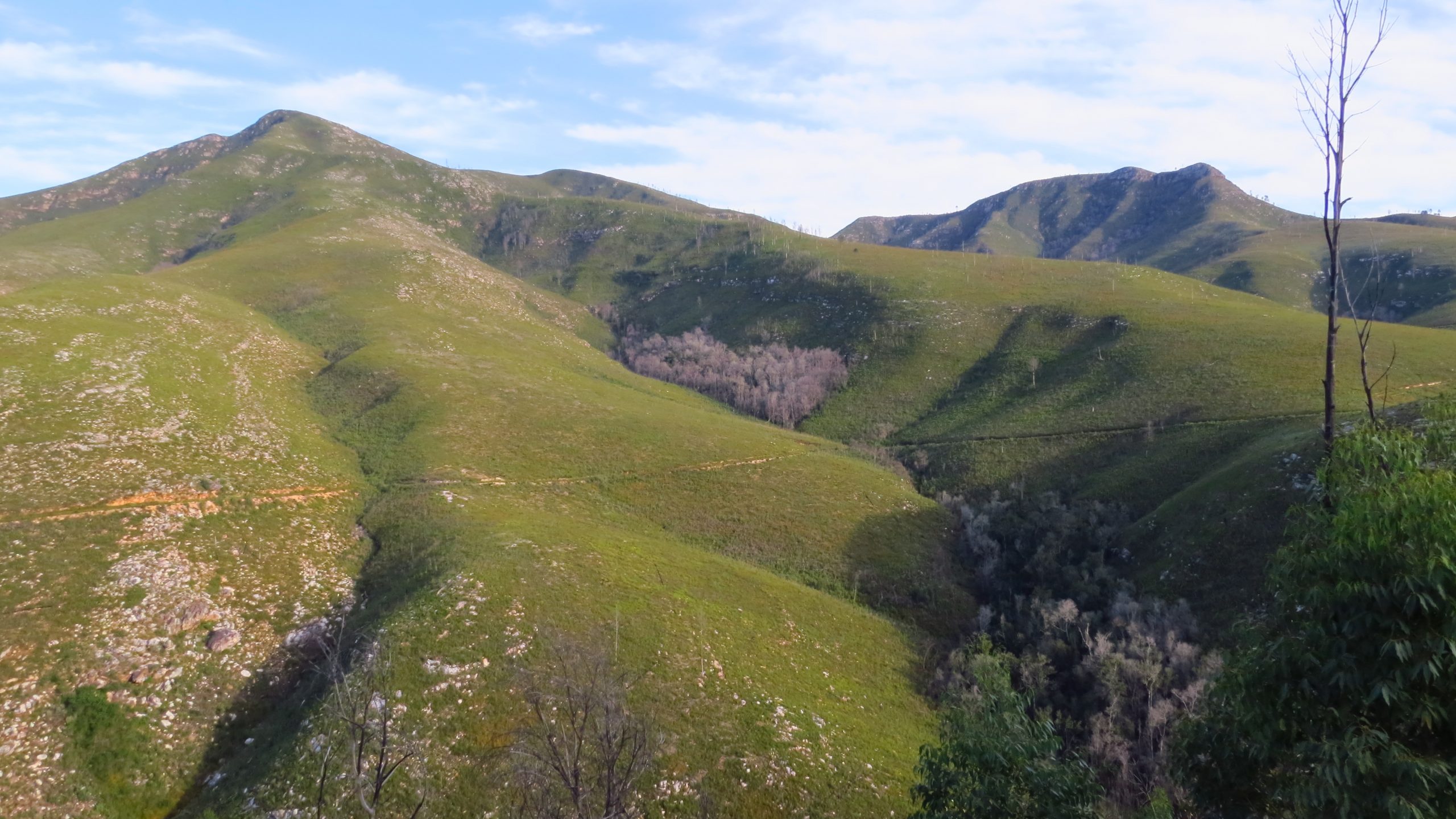
Fynbos can be consumed completely in a hot fire, while forest fuels and microclimate usually do not allow fire to penetrate far, unless in drought and very windy conditions. Photo by Johan Baard
Results were inconsistent between the two fires. In the Knysna fire, no significant difference was noted in fire penetration into forest, while forest margins adjacent to plantations burnt at significantly lower severity than those adjacent to fynbos. In the George fire, penetration into, and fire severity in forest margins adjacent to plantations were significantly greater than in those adjacent to fynbos. Not only were fire severity and penetration in forest margins adjacent to plantations dissimilar between the George and Knysna fires, but variability in fire severity was greater in forest margins adjacent to plantation, than in those adjacent to fynbos. The dissimilar responses to fire suggests that increases in fuel load do not always result in increases in fire severity. Instead, the dynamics among fuel load, fuel structure, fuel moisture, fuel distribution, weather variables and topography are complex in how they affect the intensity and severity of fires in forests.
Furthermore, the shape and size of forest patches and their topographical position partly determine the resilience of forest to fire, with small, narrow forest patches like mountain kloof forests being less resilient than large, unbroken plateau forest patches.
Our study provides evidence that fire severity in forest margins is associated with the adjacent vegetation type and that plantations potentially expose forests to greater variability in fire severity and extent than the forest may experience under natural conditions. We postulated that the leading factors affecting the severity and extent of burn in forest margins are forest patch size and topographical position, the nature of the ecotone between forest and the adjacent vegetation, and the fuel load and structure of the adjacent vegetation which varies considerably in relation to stand age and management practices in plantations.
This article was originally published in the 2021/2022 Research Report.
